Strava
Mobile
Features
Subscribe
Maps
Stories
Sign Up
Log In
Past Two Weeks
+ 15
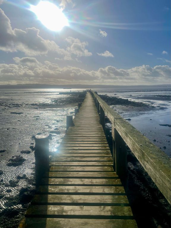
Two bridges
Cycling Route
Save
Share
Embed
Copy URL
Export TCX
Export GPX
Print
Details
82.95 mi
4,396 ft
Suggested route for Sunday 13th September 2015
Created By
Gordon Innes
September 11, 2015
·
Public
Route and Elevation
Segments
Name
Distance
Elev. Diff.
Avg. Grade
allanton to shotts
1.73 mi
164 ft
1.8%
Shotts Road
1.77 mi
-49 ft
-0.3%
Harthill road climb from Fauldhouse.
0.25 mi
72 ft
5.5%
Harthill to Blackridge
1.30 mi
-85 ft
-0.3%
Hill into Blackridge from Harthill Side
0.25 mi
52 ft
4.0%
Mill Rd
1.28 mi
210 ft
3.1%
Black Full Heights Road
3.50 mi
233 ft
0.2%
Heights Downhill
1.03 mi
-144 ft
-2.6%
Avonbridge Blastoff!
0.23 mi
-75 ft
-5.7%
Avonbridge climb
0.87 mi
161 ft
3.5%
Avonbridge to Bowhouse Roundabout
2.74 mi
-226 ft
-0.5%
Avonbridge climb short
0.39 mi
128 ft
6.3%
Standburn Descent
0.16 mi
-43 ft
-4.5%
A801 Maddiston to Lathallan
1.76 mi
-207 ft
-2.2%
roundabout at oil tanks to traffic lights at asda
2.13 mi
-23 ft
-0.1%
Bo'ness road
0.92 mi
30 ft
0.1%
Earlsgate roundabout to bottom of banks
0.62 mi
-23 ft
-0.6%
Powfoulis
3.03 mi
16 ft
0.1%
A985 cycle path
0.91 mi
-13 ft
-0.3%
Longannet Col
0.21 mi
52 ft
4.7%
Segment
0.52 mi
279 ft
10.1%
Kirk Brae
0.45 mi
154 ft
6.3%
Climb to Hillock wood
1.54 mi
89 ft
1.1%
Over the Hillock eastbound
1.38 mi
72 ft
0.2%
hillock to pattiesmuir
0.64 mi
-36 ft
-0.9%
Downhill Ferry toll road
0.72 mi
-85 ft
-2.0%
Small Kick
0.21 mi
36 ft
3.3%
Dakota to Kirkliston climb
1.82 mi
-66 ft
-0.1%
Up yer Faucheldean!
0.11 mi
36 ft
4.7%
Col des Bings
0.20 mi
36 ft
3.3%
Bing there Done that
0.86 mi
36 ft
0.6%
Holmes Road Climb
0.58 mi
499 ft
16.1%
Uphall dash.
0.26 mi
13 ft
0.8%
Millers Bridge to Deanr Road end r/b.
2.88 mi
180 ft
1.2%
A89 Cycle Path - West
1.32 mi
59 ft
0.8%
Bangour junction to Lodge, A89 climb.
0.26 mi
30 ft
2.1%
The James Young Simpson Downhill
0.44 mi
-26 ft
-0.8%
Easter Inch Climb
0.20 mi
16 ft
1.2%
whitburn to salsburgh
7.44 mi
443 ft
0.5%
Whitburn to Newhouse
9.77 mi
463 ft
0.2%
Past Polkemmet (Towards Greenrigg)
1.20 mi
43 ft
0.7%
Polkemmet road to newhouse r/bout
8.94 mi
-377 ft
-0.0%
long harthill climb
2.94 mi
295 ft
1.9%
Harthill - Shotts Road
2.23 mi
187 ft
1.6%
Blairmuckhole Rd to Shotts Rd Climb
0.72 mi
95 ft
2.5%
Just Climb!
0.54 mi
118 ft
3.8%
climb climb climb
0.83 mi
92 ft
1.5%
Sallys Roundabout Dash
0.42 mi
30 ft
1.1%
Salsburgh to Newhouse
1.86 mi
-200 ft
-2.0%
Sprint to Newhouse RA
0.17 mi
-3 ft
-0.1%