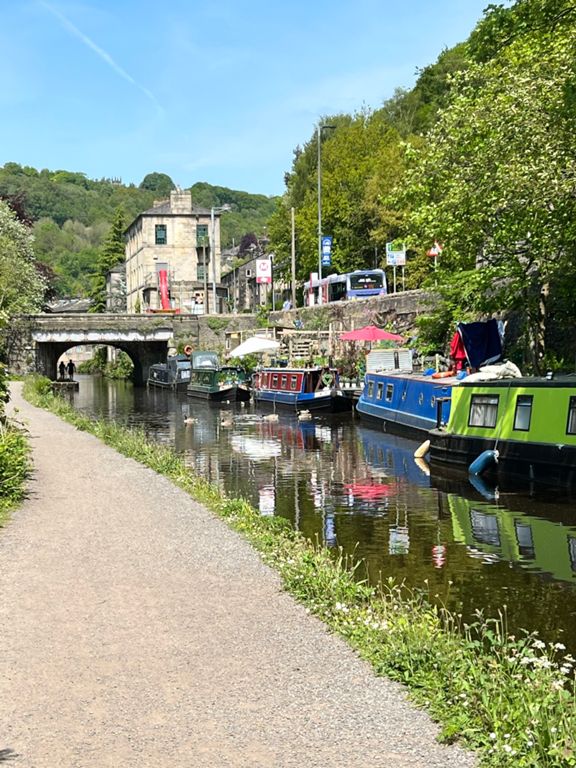
| Shaw Rd Scramble | 0.44 mi | 33 ft | 0.0% |
| Roundabout to Rochdale Rd | 0.30 mi | -20 ft | -1.2% |
| Shaw to Newhey | 1.74 mi | -98 ft | -0.9% |
| A663 Bucktones Rd to Newhey | 0.96 mi | -92 ft | -0.8% |
| railway bridge | 0.07 mi | 7 ft | 1.9% |
| kiln lane climb | 0.26 mi | 118 ft | 8.3% |
| County Lane Towards the lake | 1.22 mi | 56 ft | 0.1% |
| Blackstone Edge | 2.76 mi | 787 ft | 5.4% |
| Canal to Lightowlers Lane | 0.51 mi | 108 ft | 4.0% |
| Lightowlers to Stormer Hill start | 0.62 mi | 223 ft | 6.8% |
| Moorcock to Whitehouse pub crawl. | 1.42 mi | 505 ft | 6.7% |
| Riding the rollercoaster | 0.38 mi | 144 ft | 7.2% |
| Blackstone Edge - Steep Part Only to Top of Crag | 1.37 mi | 443 ft | 5.9% |
| To the Pub | 0.22 mi | 66 ft | 5.7% |
| Sprint In! | 0.34 mi | 36 ft | 1.6% |
| Sprint it in..... | 0.28 mi | 16 ft | 0.2% |
| Blackstone descent East | 1.40 mi | -364 ft | -4.8% |
| Blackstones to Stones | 3.45 mi | -597 ft | -3.3% |
| Blackstone Edge To Batings Reservour | 1.40 mi | -381 ft | -5.2% |
| Rochdale Road from Blackstone Edge Short | 0.63 mi | -20 ft | -0.6% |
| Baitings to Stones | 1.78 mi | -213 ft | -2.3% |
| Rochdale Rd Partial Decent | 0.88 mi | -85 ft | -1.7% |
| ripponden-mrs trotters grave | 1.62 mi | -102 ft | -0.7% |
| Repponden To Sowerby Bridge | 2.52 mi | -164 ft | -1.2% |
| Stubbing Lane to Woodlands | 0.86 mi | -56 ft | -0.5% |
| *Big Teds Descent | 0.98 mi | -115 ft | -2.2% |
| MTB Road Run | 0.58 mi | -59 ft | -1.7% |
| Tuel Lane | 0.45 mi | 240 ft | 10.0% |
| Tuel Lane Top Half Only | 0.18 mi | 108 ft | 10.8% |
| tuel lane to john deere | 3.19 mi | -213 ft | -1.1% |
| New Estate Luddenden foot descent | 0.72 mi | -89 ft | -1.8% |
| Luddenden Foot to Mytholmroyd | 2.24 mi | -36 ft | -0.2% |
| Brandy bridge to Brearley bridge | 0.95 mi | 33 ft | 0.2% |
| Luddendenfoot To Todmorden | 7.68 mi | 164 ft | 0.3% |
| Brearley Bridge to Vale Uph | 0.73 mi | -13 ft | -0.1% |
| mytholm to hebden | 1.19 mi | 36 ft | 0.6% |
| Out of Hebden Quickie | 0.17 mi | 26 ft | 2.2% |
| Hebden nasty sprint | 0.10 mi | 20 ft | 3.3% |
| Hebden Bridge to Tod sensible start | 3.58 mi | 108 ft | 0.4% |
| 3km Hebden to Eastwood | 1.95 mi | 108 ft | 0.5% |
| Eastwood to Tod | 1.85 mi | 46 ft | 0.4% |
| Castle Hill (Hough Rd to Castle Lane) | 0.26 mi | 46 ft | 3.2% |
| Gauxholme climb | 0.36 mi | 125 ft | 6.2% |
| Clough foot (first half) | 1.56 mi | 338 ft | 4.1% |
| sharneyford climb | 2.69 mi | 741 ft | 5.2% |
| steep bit | 0.63 mi | 285 ft | 8.5% |
| sharneyford descent | 1.45 mi | -410 ft | -5.3% |
| Feels all down Hill! | 1.71 mi | -233 ft | -2.5% |
| queens park lights across bridge DH | 0.19 mi | -98 ft | -7.9% |
| Hopwood Stretch Climb | 0.70 mi | 52 ft | 1.4% |


