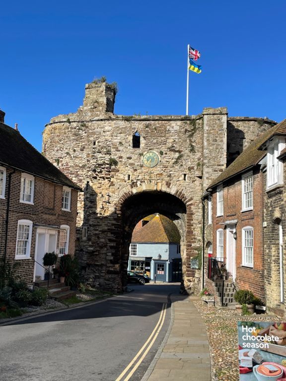
| Rye to Houghton Lane | 1.10 mi | -43 ft | -0.1% |
| Retreat from the military | 0.35 mi | 46 ft | 2.3% |
| Houghton Green Lane | 0.86 mi | 148 ft | 3.2% |
| Houghton to Heroes hall. | 2.24 mi | -105 ft | -0.3% |
| Coldharbour lane to the maltings | 0.88 mi | 66 ft | 0.5% |
| Lets Go Fly A Kite | 0.39 mi | 66 ft | 1.6% |
| East Sussex County Council autobahn | 0.46 mi | -23 ft | 0.0% |
| Beckley Drag | 0.68 mi | 98 ft | 2.8% |
| New Road 1 | 0.69 mi | -49 ft | -0.4% |
| New Road 2 | 0.53 mi | 43 ft | 1.3% |
| ouch dagg | 0.30 mi | 79 ft | 4.5% |
| Push to the Pub | 0.77 mi | 138 ft | 3.4% |
| Lethal Lordine | 0.22 mi | -33 ft | -1.9% |
| Ellenwhorne | 1.11 mi | -148 ft | -1.4% |
| Watts' Palace Lane Climb | 0.48 mi | 49 ft | 1.8% |
| Broad Oak to Hundredhouse Ln | 1.31 mi | -92 ft | -1.3% |
| Ludley Hill Full | 0.72 mi | 243 ft | 6.4% |
| Ludley Hill (Just the Interesting Bit) | 0.57 mi | 217 ft | 7.0% |
| Ludley Hill | 0.59 mi | 220 ft | 7.1% |
| Ludley Hill | 0.45 mi | 203 ft | 8.3% |
| starvecrow lane | 0.35 mi | 115 ft | 5.1% |
| Starvecrow Lane + Dew Lane | 1.14 mi | 167 ft | 2.6% |
| coldharbour road | 1.35 mi | 89 ft | 1.2% |
| Rockwood | 1.54 mi | 220 ft | 1.9% |
| rye road | 0.61 mi | 167 ft | 5.2% |
| dirty little climb | 0.70 mi | 200 ft | 5.4% |
| Peddle stamp | 0.39 mi | 174 ft | 8.4% |
| Just the hill | 0.28 mi | 144 ft | 9.4% |
| Rose Hill to Military Road | 1.99 mi | -157 ft | -1.5% |
| Stickleback ridge | 0.77 mi | -36 ft | -0.5% |
| Knock Hill Rd to Edge of Rye | 3.44 mi | 7 ft | 0.0% |
| Stone the crows! | 0.77 mi | 10 ft | 0.2% |
| Houghton green lane to rye | 1.12 mi | 39 ft | 0.1% |


