Strava
Mobile
Features
Subscribe
Maps
Stories
Sign Up
Log In
Past Two Weeks
Past Month
Past Month
Past Month
Past Month
+ 194
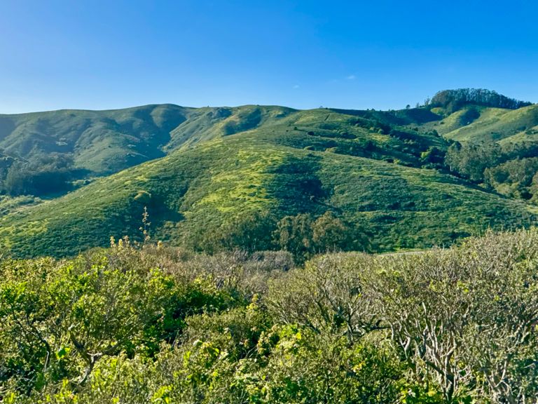
Two-Headed Ninja (15 miles)
Running Route
Save
Share
Embed
Copy URL
Export TCX
Export GPX
Print
Hard
24.54 km
948 m
As seen on
http://calendar.sftriclub.org/events/3520
Created By
Kevin Schneider
September 18, 2017
·
Public
Route and Elevation
Segments
Name
Distance
Elev. Diff.
Avg. Grade
GGB to Rodeo Valley
5.15 km
-209 m
-0.7%
Coastal Trail (GGB to Slacker Ridge)
2.04 km
171 m
8.3%
Coastal Trail (GGB to SCA)
1.76 km
132 m
7.4%
GGB to Coastal Trail Peak
2.29 km
172 m
7.5%
bridge parking lot to bunker via coastal 3.2 mile
5.15 km
-211 m
-0.7%
Bridge to SCA Climb
1.27 km
116 m
8.4%
Coastal Trail Parking Lot to Conzelman Rd.
0.26 km
28 m
10.6%
Coastal to SCA
1.40 km
103 m
7.0%
SCA-Coastal Last (Last) Climb
0.28 km
41 m
14.3%
T-split left to top
0.38 km
21 m
4.8%
Coastal Downhill to Bunker
2.40 km
-143 m
-5.8%
Mile 3 of GGB Parking Lot to Bunker Road
1.55 km
-95 m
-6.1%
Miwok Hill Climb (RV/Bobcat) to Old Springs
2.26 km
193 m
8.0%
Miwok 800m
0.82 km
71 m
8.5%
Rodeo Valley to Tennessee Valley
4.14 km
190 m
1.5%
Gerbode Valley to Costal (Miwok)
1.77 km
177 m
10.0%
Miwok to wolf ridge
1.94 km
193 m
9.8%
Miwok Trail (Bobcat to Old Springs)
2.23 km
190 m
8.1%
Bobcat -> Wolf Ridge (Ascent)
1.78 km
175 m
9.8%
Miwok Trail (Bobcat to Wolf Ridge)
1.79 km
176 m
9.8%
Miwok and Old Springs Trail (Wolf Ridge to Marincello)
2.56 km
-137 m
-4.7%
Old Springs Decent
1.94 km
-122 m
-6.3%
Old Springs Trail Descent
1.91 km
-121 m
-6.3%
Ninja Run Old Springs Decent
1.84 km
-120 m
-6.5%
Marincello Trail (Tennessee Valley to Bobcat)
2.32 km
208 m
8.9%
Marincello First 400
0.40 km
43 m
10.6%
Marincello 800m Hill Sprint (double white posts)
0.77 km
77 m
9.9%
Marincello (Tennessee Valley to Bobcat)
2.23 km
203 m
9.1%
Old Springs Trail Climb
0.54 km
40 m
7.4%
Old Springs Trail Climb
0.37 km
46 m
12.1%
Marincello Tr Climb
0.61 km
42 m
6.8%
Marincello -> VOR Climb
0.52 km
47 m
8.9%
Miwok (Marincello to Old Springs)
1.39 km
-123 m
-5.7%