


+ 92
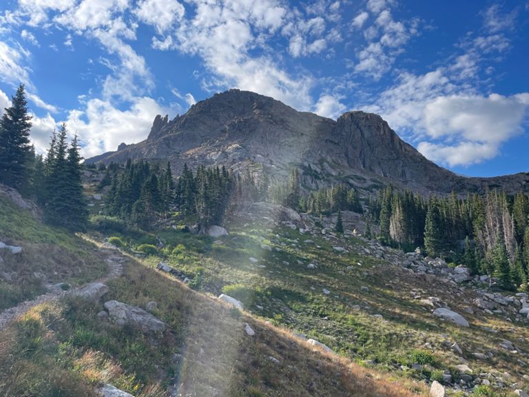
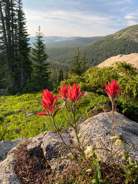
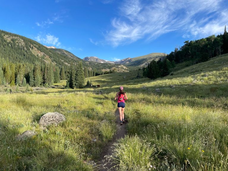
High Lonesome Loop
跑步路線
困難
15.57 英里
3,319 呎
High lonesome loop from Hesse trailhead
路線和海拔
路段
| 名稱 | 距離 | 海拔差異 | 平均坡度 |
|---|---|---|---|
| Devil's Thumb Pass, Hessie rd/4th of July rd. fork to summit | 6.77 英里 | 3,018 呎 | 8.4% |
| Hessie Road split to Hessie trail head | 0.51 英里 | 39 呎 | 1.3% |
| County Highway 111 Climb | 1.20 英里 | 597 呎 | 9.4% |
| High Lonesome Loop- Bridge to Bridge | 14.67 英里 | -2,887 呎 | -0.0% |
| Hessie (4wd bridge) to Jasper Lake | 4.39 英里 | 1,827 呎 | 7.8% |
| Devil's Thumb Pass - bridge to pass | 6.24 英里 | 2,979 呎 | 9.0% |
| County Highway 111 Climb | 0.24 英里 | 184 呎 | 14.1% |
| County Highway 111 Climb | 0.79 英里 | 157 呎 | 3.8% |
| th Of July Rd Climb | 2.26 英里 | 1,175 呎 | 9.8% |
| Continental Divide Trail Climb | 0.33 英里 | 187 呎 | 10.6% |
| Continental Divide Trail Climb | 0.57 英里 | 131 呎 | 4.4% |
| Continental Divide Trail Climb | 0.65 英里 | 374 呎 | 10.9% |
| Continental Divide Trail Climb | 0.67 英里 | 748 呎 | 21.0% |
| High Lonesome Loop - Tundra section | 2.55 英里 | -338 呎 | -2.2% |
| Continental Divide Trail Climb | 0.51 英里 | 226 呎 | 8.4% |
| Bob & Betty split descent to bridge | 3.70 英里 | -1,440 呎 | -7.4% |
| Hessie Bridge to Bridge (downhill) | 0.87 英里 | -407 呎 | -8.8% |