route-highlight
Past Week
route-highlight
Past Two Weeks
route-highlight
route-highlight
route-highlight
route-highlight
+ 55

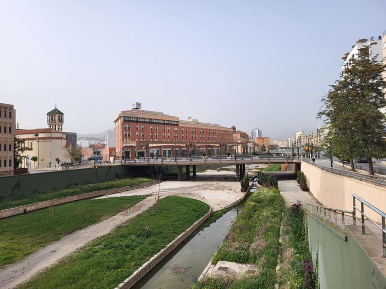
RB-02 Malaga-Alora-Carratraca-El Chorro-Alora-Malaga

Cycling Route

Details
128.92 km
1,738 m
This is another moderate road trip through valley Hoya de Malaga followed by slight ascent between mountains Sierra del Valle del Abdalajis on the right side and Sierra de Aguas on the left side. You will face beautiful natural gorge in El Chorro called Desfiladero de los Gaitanes / Camino del Rey. Then you will slightly climb between pines to the lakes Embalse del Conde del Guadalhorce. From Carratraca to Alora there is really quite bad surface road but it's well balanced by impressive views to the valley again. Going through city center of Alora you will go back to Malaga. Leaving Malaga follow streets Marmoles/Martinez Maldonado / Av. de Carlos Haya and then turn left fot Universidad (university). Having cycled 400m turn right and follow street Calle Navarro Ledesma and later MA-405/A-7076 to go to Campanillas. From Campanillas (A-7054) follow easily signs for Pizarra and Alora. Since Pizarra you will observe castle of Alora topping the big hill. Then keep on A-7078 to Carratraca, as the road is better to be climbed due to bad surface, and later Ardales. At the end of village turn right over MA-5403 to Lakes Embalse del Guadalhorce and El Chorro. Having observed natural gorge in El Chorro keep on to Alora over MA-5005. Riding through Alora take A-7077 to Pizarra and keep on to Malaga the same way you have started.
Created By
BIKE2MALAGA ROUTES

Route and Elevation

Segments

NameDistanceElev. Diff.Avg. Grade
Soliva - Pizarra23.19 km55 m0.1%
Sprint Asperones 10.80 km-24 m-1.6%
CAMPANILLAS-ESTACIÓN CÁRTAMA5.28 km-24 m-0.1%
Maqueda-Glorieta Sexmo2.90 km-20 m-0.1%
REPECHO ANTES ESTACIÓN CÁRTAMA0.38 km17 m4.4%
Cartama-Los Caballos17.08 km84 m0.4%
Km1 Contrareloj Estacion-Pizarra 1.00 km-7 m-0.4%
est. cartama-pizarra11.39 km45 m0.3%
Km 2 Contrareloj Estacion-Pizarra 1.02 km5 m0.3%
Km 3 Contrareloj Estacion-Pizarra 1.00 km8 m0.8%
Km 5 Contrareloj Estacion-Pizarra 1.01 km2 m0.1%
Km 10 Contrareloj Estacion-Pizarra 1.01 km-20 m-1.4%
REPECHO ANTES PIZARRA0.38 km14 m3.6%
Into Pizarra0.70 km10 m1.4%
Calle Alora Climb0.44 km21 m3.5%
Subida a Álora1.78 km102 m5.6%
Ma 441 Climb0.92 km56 m6.1%
Rotonda a fuente. Kilómetro de oro.0.96 km46 m4.8%
De Conejitos a cruz de piedra7.02 km338 m4.8%
Cruce de Las Atalayas - El Chorro5.88 km-179 m-3.0%
Bajada Cruce a Ermita3.37 km-141 m-4.2%
Desvío Bobastro - La Encantada3.24 km-74 m-2.2%
La Encantada - Pabellón Deportes13.09 km73 m0.1%
El Chorro-Cártama Estación34.11 km-198 m-0.5%
Ma 448 Climb0.81 km89 m11.0%
Mellizas rotonde Álora 6.00 km89 m1.2%
Repecho Paredones0.28 km12 m3.8%
Subida Cerro Pelao0.88 km54 m6.0%
Pablo Ruiz Picasso Climb0.56 km35 m6.2%
Gasolinera - Rotonda Barriada1.88 km-101 m-5.1%
Barriada Álora-Pizarra6.84 km-48 m-0.4%
Los Caballos-Estación Cártama17.27 km-79 m-0.4%
Subida La Vega0.76 km38 m3.2%
Pizarra - Campanillas18.44 km-47 m-0.2%
Pizarra a Estación de Cártama11.07 km-47 m-0.3%
Calle Camarón de la Isla Climb0.31 km85 m26.7%
Km 12+1 Contrareloj Estacion-Pizarra 2.01 km-21 m-0.3%
SUBIDA TUNEL PIZARRA0.93 km16 m1.7%
Km 14 Contrareloj Estacion-Pizarra 1.01 km20 m1.5%
Tunel Pizarra-Malaga0.46 km22 m4.0%
Tramo el TAXISTA 1.21 km-5 m0.0%
Los 300 de los chuparruedas. 0.38 km8 m2.0%
mini TT3.04 km16 m0.2%
Rotonda Sexmo - Rotonda PTA4.55 km20 m0.2%
Repecho de Estación de Cártama de vuelta0.46 km19 m4.0%
Repecho Santa Rosalía (oeste)0.42 km15 m3.4%
Campanillas - Rotonda Intelhorce (GENERAL)4.63 km-18 m-0.1%
Campanillas enlace Mercamálaga1.95 km-18 m-0.3%
Recta El Tarajal1.01 km0 m0.0%
Repecho Intelhorce0.84 km33 m3.8%