| Mision north- Grimmer to top | 0.21 mi | 56 ft | 4.9% |
| Cougar - Top of Mission | 0.37 mi | 92 ft | 4.6% |
| Linmore Dr Climb | 0.48 mi | -23 ft | -1.0% |
| 680 to Driscoll Rd. | 0.94 mi | -131 ft | -2.6% |
| Mission to Palomares | 1.91 mi | 59 ft | 0.6% |
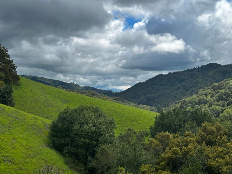
| Palomares All, not half, the whole Gawd Damn Road! | 9.71 mi | 1,056 ft | 0.4% |
| Palomares 1/2 way up from Niles. | 2.30 mi | 656 ft | 5.4% |
| Palomares Road from Niles Canyon (Low-Key Hillclimbs) | 4.52 mi | 1,060 ft | 4.4% |
| Palomares Rd Climb | 0.93 mi | 289 ft | 5.8% |
| Palomares Rd Climb [Northbound] - Middle Snippet | 0.59 mi | 325 ft | 10.2% |
| Palomares Road Climb | 0.65 mi | 394 ft | 11.4% |
| Palomares Rd Descent [Northbound] - Steep Start | 1.16 mi | -502 ft | -8.2% |
| Palomares Rd Descent [Northbound] - Start Below Summit | 4.84 mi | -771 ft | -3.0% |
| Palomares Rd north Sprint - Long | 0.39 mi | -26 ft | -0.1% |
| Palomares Rd [Northbound] - Sprint Finish | 0.20 mi | -13 ft | -0.9% |
| Castro Valley Blvd from Eden Canyon to Foothill | 5.11 mi | 381 ft | 0.0% |
| Dublin Canyon Rd [Eastbound] to Top | 2.60 mi | 377 ft | 2.7% |
| Dublin Canyon Rd Descent [Eastbound] | 1.81 mi | -318 ft | -3.1% |
| Dublin Canyon Rd [Eastbound] - Eden Sprint Cup | 2.44 mi | -364 ft | -2.7% |
| fastest down dublin canyon | 1.22 mi | -269 ft | -4.1% |
| Dublin Canyon Rd [Eastbound] - Speed Chute | 0.24 mi | -75 ft | -5.9% |
| Foothill - Dublin Canyon to Bernal | 3.19 mi | -98 ft | -0.1% |
| Foothill south Stoneridge to Muirwood | 0.38 mi | 59 ft | 2.7% |
| Foothill Rd - Stoneridge to Castlewood | 4.23 mi | -135 ft | -0.4% |
| Foothill Bump | 0.18 mi | -62 ft | -6.2% |
| Foothill sprint to Las Positas | 0.44 mi | 43 ft | 1.7% |
| Foothill Rd [Southbound] - Foothill High School Climb | 0.20 mi | 30 ft | 2.7% |
| Bernal to Castlewood sprint | 1.53 mi | -43 ft | -0.4% |
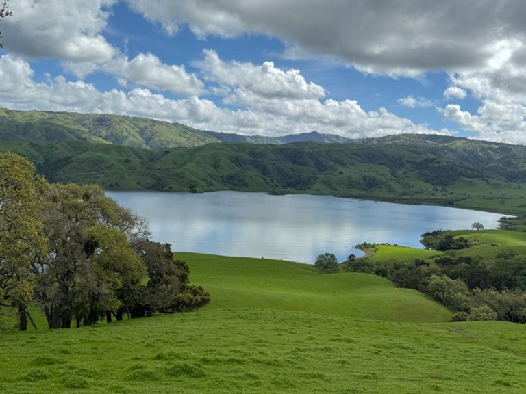
| Foothill to Sunol SB | 5.20 mi | -115 ft | -0.4% |
| Happyvalley to Sunol | 3.45 mi | -102 ft | -0.6% |
| Sprint Sunol Rd climb to 84 | 0.68 mi | -49 ft | -0.2% |
| Paloma Way Sprint | 0.75 mi | 26 ft | 0.3% |
| Calavaras 680 to Geary TT | 4.06 mi | 135 ft | 0.5% |
| Full Length TT Parking lot to End | 13.24 mi | 866 ft | 1.2% |
| Calaveras TT - Hill Start to Turn Around | 1.10 mi | 226 ft | 3.9% |
| Calaveras, south to summit | 2.67 mi | 554 ft | 3.9% |
| Calaveras mid | 1.34 mi | 282 ft | 4.0% |
| Calaveras south (short) | 1.85 mi | 404 ft | 4.1% |
| Calaveras Southbound, KOM to County Line | 2.23 mi | 131 ft | 0.2% |
| Calaveras Rollers | 6.34 mi | 318 ft | 0.6% |
| Southbound Snake KOM | 0.64 mi | 105 ft | 2.5% |
| Upper Summit | 1.25 mi | 220 ft | 3.3% |
| The Peak to Evans | 6.13 mi | -988 ft | -3.1% |
| Claveras/Felter to Downing | 1.26 mi | -443 ft | -6.6% |
| MILPITAS: Downing to Evans | 1.01 mi | -292 ft | -5.2% |
| Calaveras-Evans sprint | 0.30 mi | -112 ft | -7.0% |
| The foothill sprint | 2.79 mi | 112 ft | 0.1% |
| Evans - East Calaveras Bvd. to North Park Victoria Dr. | 1.12 mi | -89 ft | -1.5% |
| Evans North hump | 0.27 mi | -30 ft | -1.5% |
| N. Park Victoria CC Dr. to Scott Creek | 1.56 mi | 115 ft | 1.3% |