+ 1
K7/50 TT
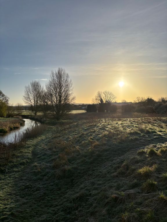
自行車路線
詳細資訊
50.18 英里
1,054 呎
路線和海拔
路段
| 名稱 | 距離 | 海拔差異 | 平均坡度 |
|---|---|---|---|
| Stafford RC 50 mile TT | 13.67 英里 | -118 呎 | -0.0% |
| Penkridge South | 0.93 英里 | 36 呎 | 0.5% |
| RAB to Rod | 1.25 英里 | 20 呎 | 0.2% |
| Gailey to M6 roundabout | 1.12 英里 | 30 呎 | 0.5% |
| m6 to Gailey | 1.08 英里 | -43 呎 | -0.5% |
| Gay Lee's Ridge of Penk - A5 Gailey Island to Penkridge along A449 | 2.34 英里 | -69 呎 | -0.5% |
| a5/a449 to m6 | 4.47 英里 | -62 呎 | -0.1% |
| A5 to Penkridge | 1.73 英里 | -39 呎 | -0.4% |
| Boom | 0.67 英里 | -20 呎 | -0.5% |
| Penkridge North | 0.94 英里 | -36 呎 | -0.5% |
| Penkridge to M6J13 | 2.76 英里 | 52 呎 | 0.1% |
| 449 999 | 1.23 英里 | -39 呎 | -0.6% |
| Swan Lane to Jct 13 | 0.98 英里 | -26 呎 | -0.4% |
| Pre-Trussell Turn | 0.51 英里 | -23 呎 | -0.5% |
| Mill lane to roundabout | 0.40 英里 | -7 呎 | 0.0% |
| Argos roundabout to Motorway Cave | 0.47 英里 | 23 呎 | 0.5% |
| Jct 13 - Swan Lane | 1.03 英里 | 26 呎 | 0.4% |
| Tussle with the Trussell - M6 J13 at Acton Trussell to Penkridge | 2.65 英里 | -49 呎 | -0.1% |
| Dunston to Penkridge | 2.00 英里 | -36 呎 | -0.1% |
| 2M TT | 2.05 英里 | -39 呎 | -0.2% |