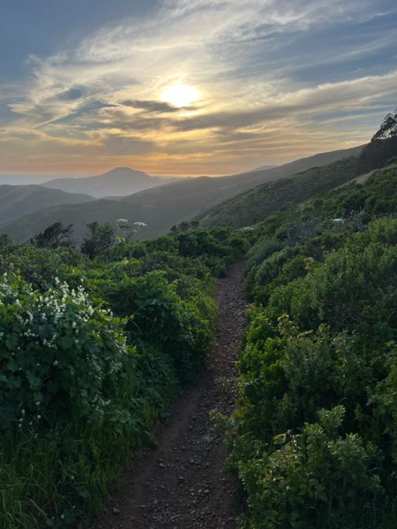
| Coastal Trail (GGB to Slacker Ridge) | 1.27英里 | 561英尺 | 8.3% |
| GGB parking lot to top of slackers hill | 1.61英里 | 676英尺 | 7.9% |
| Coastal Trail (GGB to SCA) | 1.09英里 | 433英尺 | 7.4% |
| GGB to Coastal Trail Peak | 1.42英里 | 564英尺 | 7.5% |
| Bridge to SCA Climb | 0.79英里 | 381英尺 | 8.4% |
| Coastal Trail Parking Lot to Conzelman Rd. | 0.16英里 | 92英尺 | 10.6% |
| Coastal to SCA | 0.87英里 | 338英尺 | 7.0% |
| Coastal Trail (SCA to Slacker Hill) | 0.52英里 | 240英尺 | 8.7% |
| SCA-Coastal Last (Last) Climb | 0.17英里 | 135英尺 | 14.3% |
| T-split left to top | 0.23英里 | 69英尺 | 4.8% |
| From Coastal to Slacker | 0.51英里 | 246英尺 | 8.9% |
| Slacker Trail Climb | 0.21英里 | 167英尺 | 14.8% |
| Conzelman Rd Climb | 0.23英里 | 174英尺 | 13.5% |
| Slacker to Coastal Descent | 0.22英里 | -180英尺 | -15.2% |
| Slacker Hill Descent | 0.19英里 | -161英尺 | -15.7% |
| Coastal Downhill to Bunker | 1.49英里 | -469英尺 | -5.8% |
| Mile 3 of GGB Parking Lot to Bunker Road | 0.96英里 | -312英尺 | -6.1% |
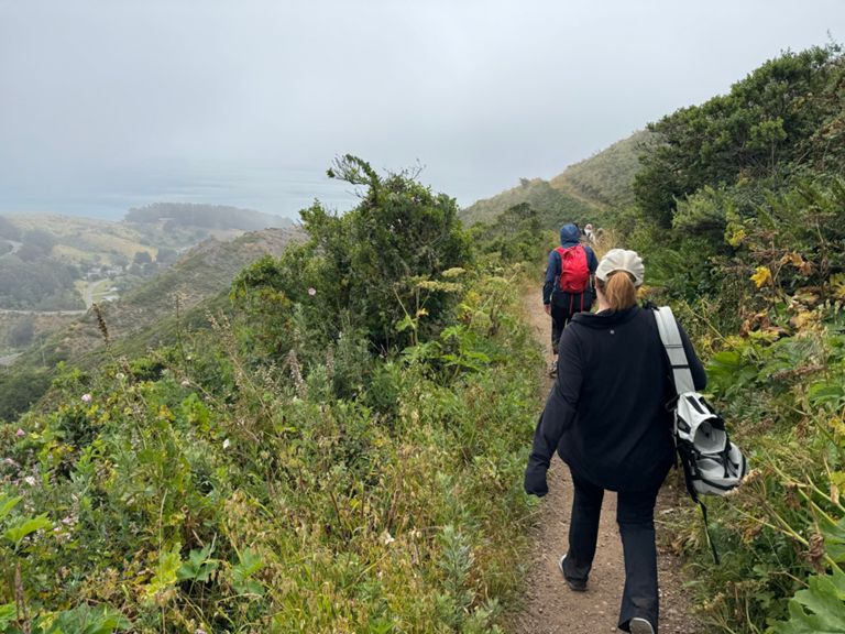
| Rodeo Valley Trail climb | 1.85英里 | 784英尺 | 8.0% |
| Rodeo Valley Climb - McCullough to TOP | 1.26英里 | 705英尺 | 10.6% |
| SCA to Coastal Trail | 1.06英里 | -223英尺 | -3.8% |
| Rodeo Valley Trail to GGB Descent | 2.17英里 | -646英尺 | -5.6% |
| SCA - Dr. Seuss Sprint | 0.63英里 | -98英尺 | -2.7% |
| SCA to Coastal Trail | 1.07英里 | -243英尺 | -3.7% |
| SCA Golden Gate View Hill Detour | 0.05英里 | 75英尺 | 21.4% |
| Coastal Trail (SCA to GGB) | 1.09英里 | -433英尺 | -7.5% |
| Coastal Descent SCA to GGB | 1.09英里 | -443英尺 | -7.5% |
| Coastal Trail Downhill to Conzelman | 0.92英里 | -335英尺 | -6.9% |
| SCA to Conzelman Rd DH | 0.86英里 | -322英尺 | -7.0% |
| SCA Final Descent | 0.17英里 | -85英尺 | -9.1% |