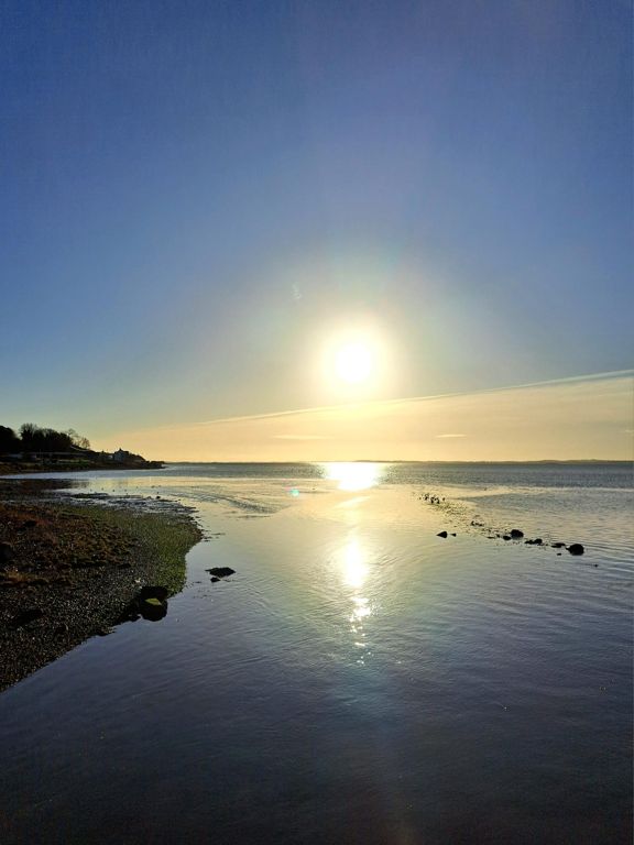
| Portaferry to Deer Park Rd (Coast) | 8.71 km | 29 m | 0.1% |
| Sprint For the Craic | 0.37 km | -2 m | -0.6% |
| Rowreagh Rd segment | 4.00 km | 11 m | 0.0% |
| Blast Through Kircubbin | 1.46 km | 9 m | 0.1% |
| little steep bit | 0.65 km | 16 m | 2.5% |
| keep er lit | 1.40 km | 12 m | 0.4% |
| Top of down hill before Grayabbey into 30's (Portaferry Rd) | 2.71 km | -24 m | -0.9% |
| Full Sprint Into Greyabbey 30"s | 0.59 km | 9 m | 1.3% |
| Sprint Kings Flurry no.2 | 0.22 km | 0 m | 0.0% |
| Bun sprint to Mount Stewart | 2.28 km | 12 m | 0.1% |
| Barrs Bay corner -> Floodgates entrance | 4.62 km | 17 m | 0.2% |
| Old Shore Road to just before Roundabout | 0.65 km | -2 m | -0.3% |
| Scrabo steep bit | 0.77 km | 59 m | 7.6% |
| Kempe Stones (Greengraves Rd to Dundonald High School) | 2.44 km | -50 m | -1.8% |
| Kempe Downhill Sprint | 1.53 km | -37 m | -2.4% |
| Newtownards Road Sprint | 0.70 km | -13 m | -1.9% |
| Long Newtownards Road | 3.60 km | -21 m | -0.4% |
| Upper Newtownards Rd | 1.44 km | -16 m | -1.1% |
| Short lights to lights | 0.28 km | -8 m | -2.8% |
| Stornmont pass by | 1.68 km | 8 m | 0.1% |
| Knock Road to Ballyhackamore | 0.87 km | -4 m | -0.2% |
| North Road to Holywood Arches | 0.87 km | -21 m | -2.5% |
| Can you kick it? Yes you can. | 0.41 km | -11 m | -2.5% |
| The old Albert | 0.51 km | 5 m | 0.9% |
| Castlereagh St to Albert Bridge | 0.46 km | -5 m | -1.0% |
| Central downhill | 0.63 km | -3 m | -0.2% |
| Dublin Road Dash | 0.22 km | -4 m | -1.3% |
| Dublin Road Full (Bruce St. to D.Pass) | 0.35 km | -3 m | -0.6% |
| Lisburn road to Tate's | 0.90 km | 12 m | 1.0% |
| Spar to Bar | 0.45 km | 8 m | 1.7% |
| The Black Mountain Climb, warm up | 0.64 km | -2 m | -0.1% |
| Malone Rd/Miltown Rd Up & Downer (From Balmoral Rd lights to Belvoir Lights) | 2.75 km | 21 m | 0.1% |
| Down to Shaw's | 0.55 km | -23 m | -3.8% |
| see Massimo it is a Hill | 0.59 km | 11 m | 1.7% |
| Purdys climb | 1.41 km | 56 m | 3.9% |
| Saintfield Road countrybound - Cairnshill Rd to Knockbracken Healthcare Park | 0.67 km | 8 m | 0.5% |
| Saintfield road section 2 | 3.24 km | 26 m | 0.6% |
| Saintfield Road countrybound - Knockbracken Rd to Ivanhoe Ave | 1.34 km | 8 m | 0.5% |
| Saintfield Road Climb McD's to Manse Road Lights | 0.68 km | 21 m | 3.0% |
| Killynure Roller | 1.64 km | 54 m | 3.1% |
| Killynure climb | 1.15 km | 52 m | 4.5% |
| saintfield to crossgar | 7.16 km | -64 m | -0.7% |
| Short Climb to Carsonstown Road | 0.61 km | 16 m | 2.6% |
| Xgar 40,2,30 | 0.21 km | 1 m | 0.5% |
| 40's to 30's Crossgar | 0.32 km | -1 m | -0.1% |
| Crossgar Hill | 3.22 km | 36 m | 1.0% |
| Finnebrogue Downhill | 1.71 km | -18 m | -0.9% |
| Quoile Road to School Patrol | 11.15 km | 53 m | 0.1% |
| Quoile to Castleward | 8.93 km | 52 m | 0.5% |
| Down Doctor's Hill | 1.17 km | -41 m | -3.5% |


