


+ 2
Hwy 120 Mono Lake Climb & Descent
Cycling Route
Details
25.47 mi
3,234 ft
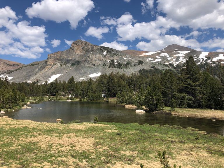
A steep climb and return descent on Highway 120 from Mono Lake to the highest paved point in the Sierras.
Created By
Spokesman MTB

Route and Elevation
Segments
| Name | Distance | Elev. Diff. | Avg. Grade |
|---|---|---|---|
| Lee Vining to Yosemite (Tioga Pass) | 12.70 mi | 3,212 ft | 4.8% |
| Lee Vining to Yosemite (Tioga Pass) | 12.66 mi | 3,212 ft | 4.8% |
| Tioga Pass (395 to Log Cabin Mine Rd) | 1.16 mi | 361 ft | 5.9% |
| Tioga Pass (395 to gate) | 12.00 mi | 3,104 ft | 4.9% |
| Tioga Pass - Mobil Mart to Ellery Lake crest | 8.66 mi | 2,490 ft | 5.4% |
| Tioga Pass From the Gas station to the summit | 11.86 mi | 3,054 ft | 4.9% |
| 07/03/10 June Lake, CA | 1.46 mi | 548 ft | 7.0% |
| Tioga Pass (steep part to gate) | 8.40 mi | 2,379 ft | 5.4% |
| Tioga Pass (steep part to Ellery Lake) | 4.68 mi | 1,844 ft | 7.4% |
| Tioga Pass (variation of segment to Ellery Lake) | 3.54 mi | 1,457 ft | 7.8% |
| Tioga Lodge to Park Gate | 2.04 mi | 404 ft | 3.3% |
| Down the Tioga Pass | 11.73 mi | -2,822 ft | -4.6% |
| Tioga Pass descent - Ellery Lake to Mobil Mart | 8.66 mi | -2,461 ft | -5.4% |
| Tioga Pass Descent | 4.61 mi | -1,742 ft | -7.2% |