Past Month


+ 15
Two Dams
Cycling Route
Details
36.04 mi
3,154 ft
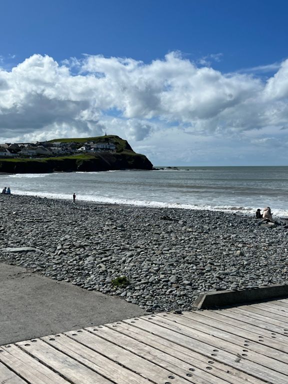
Borth, clockwise to Talybont, Nant Y Moch, Ponterwyd, Pendam, Penrhyncoch, Llandre and home !!
Created By
Gary P

Route and Elevation
Segments
| Name | Distance | Elev. Diff. | Avg. Grade |
|---|---|---|---|
| Borth Golf Course Mile | 1.04 mi | 10 ft | 0.1% |
| Golf Club to Tre Ddol | 4.74 mi | 66 ft | 0.2% |
| Borth Golf Course Straight | 1.00 mi | -7 ft | -0.1% |
| Tre Ddol - Talybont | 1.60 mi | 171 ft | 1.9% |
| Tre Ddol to Tal y bont | 1.75 mi | 171 ft | 1.7% |
| Taliesin - Talybont | 1.10 mi | 131 ft | 2.1% |
| Cote de la Cefn Erglodd | 0.70 mi | 131 ft | 3.1% |
| Y Mynach - Nant y Moch Climb | 5.18 mi | 1,253 ft | 4.6% |
| Tal-y-bont climb | 4.81 mi | 1,129 ft | 4.4% |
| Afon Cuelan [JB] | 5.36 mi | 1,250 ft | 4.2% |
| Nant Y Moch to Cattle Grid | 4.70 mi | 1,102 ft | 4.4% |
| A487 Climb | 0.94 mi | 295 ft | 5.9% |
| Nant y Moch | 5.02 mi | 1,227 ft | 4.6% |
| Nant y Moch Ystwyth CC Hillclimb | 2.53 mi | 735 ft | 5.5% |
| Ty Mawr Climb | 0.73 mi | 295 ft | 7.6% |
| A44 Climb | 0.75 mi | 269 ft | 6.7% |
| Nant-y-Moch to Ponterwyd | 3.97 mi | -121 ft | -0.6% |
| Dinas to Nant | 2.00 mi | 148 ft | 0.5% |
| Pen-dam to Penrhyn BLAST | 3.43 mi | -1,001 ft | -5.5% |