
Past Month


+ 34
High Adventure Day 2
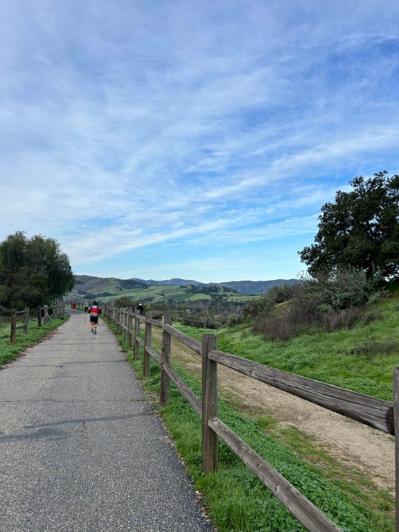
Cycling Route
Details
49.16 mi
2,565 ft
Reyes Creek Campground to Foster Park Campground
Created By
Ken Cashion

Route and Elevation
Segments
| Name | Distance | Elev. Diff. | Avg. Grade |
|---|---|---|---|
| 33 Back from Long valley climb | 3.95 mi | 1,086 ft | 5.2% |
| Hwy 33 to Pine Mountain Road | 4.87 mi | 1,414 ft | 5.5% |
| Potrero Seco Road Climb | 0.79 mi | 279 ft | 6.6% |
| Hwy 33 South - Pine Mtn to Rose Valley | 16.81 mi | -1,604 ft | -1.7% |
| Sandwich Spot Hunting | 0.33 mi | -36 ft | -2.0% |
| 04/09/10 Hwy 33 South | 1.14 mi | 289 ft | 4.8% |
| Down Highway 33 | 14.21 mi | -2,854 ft | -3.8% |
| Just the downhill Hwy 33 | 10.06 mi | -2,379 ft | -4.5% |
| 33 Speedway | 2.03 mi | -128 ft | -1.1% |
| Ojai Vons to Sulphur Mtn Turnoff | 5.94 mi | -459 ft | -1.5% |
| Oak View to Foster Park Descent | 3.22 mi | -217 ft | -1.3% |