

+ 29
amroth_25_2000_mg
骑行路线
详情
38.3公里
761米
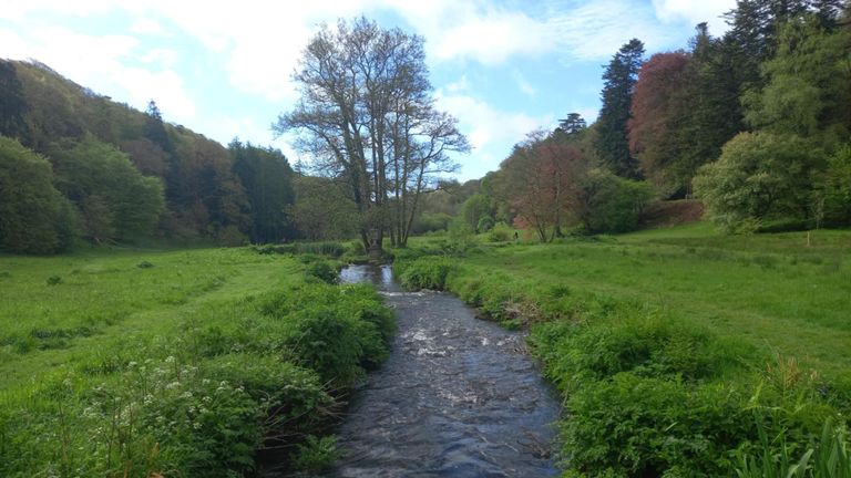
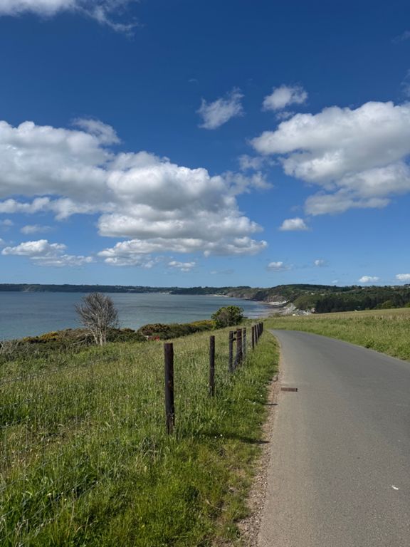
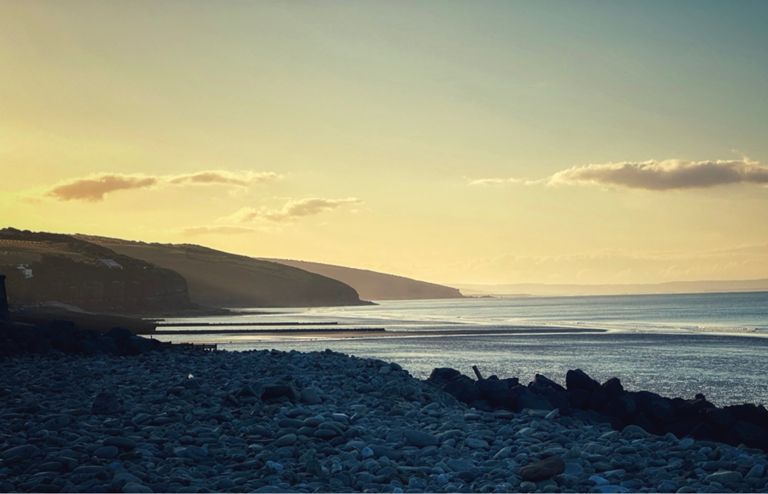
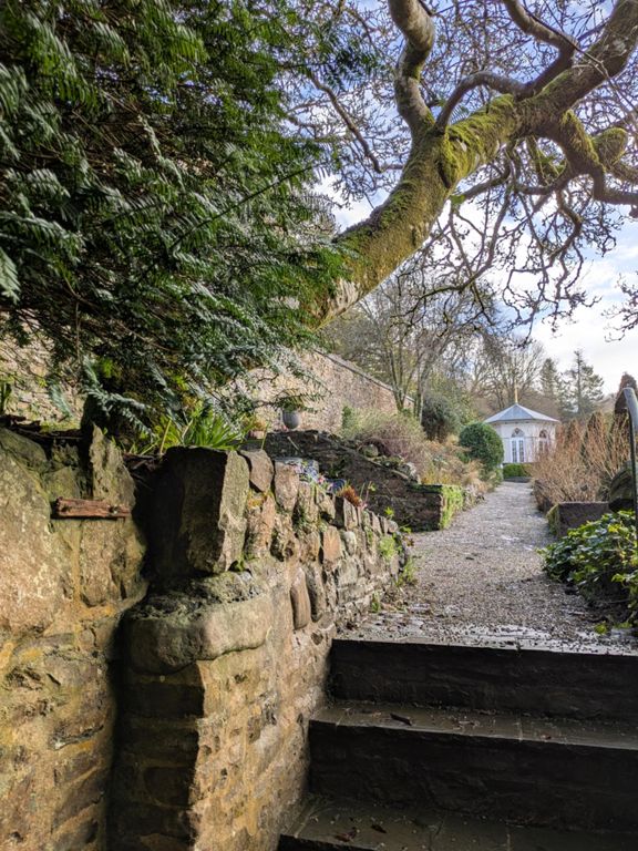
Dynamos ride around amroth
路线和海拔
路段
| 名字 | 距离 | 海拔高度差 | 平均坡度 |
|---|---|---|---|
| Gilfach Road Climb | 1.27公里 | 105米 | 8.2% |
| Tavernspite Sprint | 1.88公里 | -15米 | -0.3% |
| Saint Margarets | 0.33公里 | 28米 | 8.4% |
| We be Gymmin | 0.77公里 | 36米 | 4.6% |
| top of pendine to amroth (colby turn) | 6.33公里 | -136米 | -1.5% |
| Green Bridge Inn westwards | 0.89公里 | 65米 | 7.2% |
| Rise on the A48 to Marros | 0.84公里 | 61米 | 7.2% |
| A48 climb through Marros | 2.91公里 | 71米 | 2.4% |
| Marros marrows | 2.09公里 | -129米 | -6.2% |
| Summerhill Park Climb | 1.04公里 | 81米 | 7.8% |
| Amroth Arms Climb | 1.04公里 | 81米 | 7.7% |
| Amroth Arms climb, from offroad Colby section. | 0.96公里 | 77米 | 7.9% |
| Colby Climb | 1.50公里 | -56米 | -0.3% |
| colby2lud | 1.41公里 | 87米 | 6.2% |
| A477 Climb | 1.62公里 | 83米 | 5.1% |
| Luddchurch North | 3.84公里 | 92米 | 2.4% |
| LudGate | 4.64公里 | 95米 | 1.4% |
| Princes Gate to Narberth (Kiln Park Road) | 2.53公里 | -41米 | -1.3% |