

+ 69
Segment E - Run Around Toronto
Running Route
Details
27.84 km
77 m
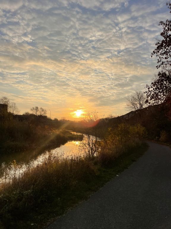
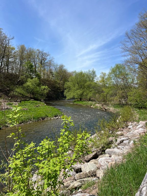
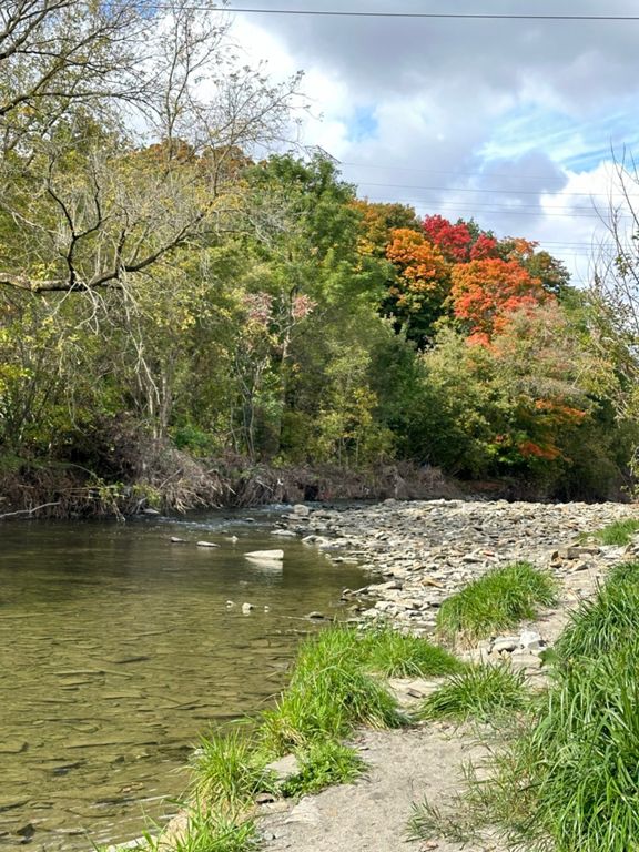
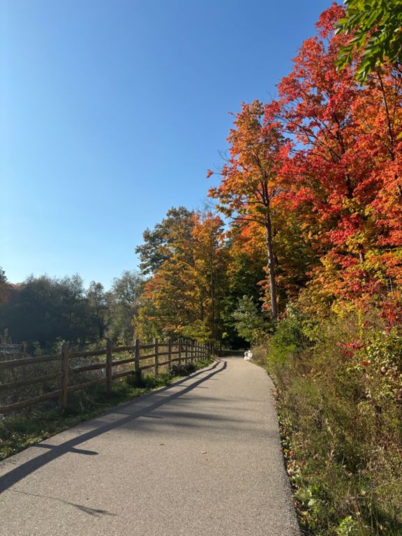
From Steeles Ave, head south on Albion Road for a very short distance, on the sidewalk on the right side of the street. There is a grassy field to you right with a fence. When you get even with the large billboard in the field, turn right towards the billboard and you will see a gap in the fence. Enter and follow a short grassy trail for 20m to the old pavement of Indian Line Road, which has been closed to vehicles for many years. After passing over the Claireville Dam, turn left onto the PanAm / W. Humber Recreational Trail. Exit the trail just after the second underpass at Humberwood. Follow it south (left) until Rexdale Blvd. Cross to the south side and just to your right take the pedestrian only path/road for a few hundred metres to Grandstand Entrance Road at Woodbine Racetrack. Follow it around the racetrack property -- enjoying the smell of wet hay in the stables -- until turning right at Carlingview Dr (underpass to the right). South for 3km through “airport industrial” section then turn right at Renforth Dr. About 1km later turn right on Eglinton - there is a multi-use/bike path on the north side of Eglinton which runs for 3km until reaching Etobicoke Creek, trail entrance on the south side of Eglinton, east side of the creek. Follow the multi-use path south, crossing the creek into Mississauga, before being forced onto Ponytail Drive (there is a golf course on the creek south of here). Turn left on Ponytail and then first left onto Bridgewood drive, down to Bloor St. Go 100m west on Bloor and then south into a hydro corridor, which runs for 1km south to Dundas. Dundas west to Dixie Rd and then Dixie south to Sherway Drive. Go left on Sherway Drive which ends in a pedestrian trail and bridge over the creek (back in Toronto!). This section of the Etobicoke Creek Trail may be under construction (Toronto Mike to verify). The QEW underpass is definitely under construction, but passable by pedestrians and no workers present on Saturdays. South of the QEW, it is solid multi-use path along the creek, with option single track bits running parallel, eventually landing on the beach and tiny boardwalk of Marie Curtis Park.
Aid stations:
-Hasty Market at Rexdale Blvd and Humberwood (5km) https://goo.gl/maps/LCP1gUGqe5HTV3BE6
-Esso Gas w/ Circle K at Dundas & Dixie (21.5km) https://goo.gl/maps/JqSkYNsW6Judt5t46
Aid stations:
-Hasty Market at Rexdale Blvd and Humberwood (5km) https://goo.gl/maps/LCP1gUGqe5HTV3BE6
-Esso Gas w/ Circle K at Dundas & Dixie (21.5km) https://goo.gl/maps/JqSkYNsW6Judt5t46
Route and Elevation
Segments
| Name | Distance | Elev. Diff. | Avg. Grade |
|---|---|---|---|
| Eglinton to Ponytrail Dr | 3.11 km | -15 m | -0.3% |
| Wood Creek Park - Eglinton to Burnhamthorpe | 2.28 km | -10 m | -0.4% |
| Burnh_PonyT | 0.84 km | -5 m | -0.3% |
| Etobicoke Valley Creek | 2.40 km | -18 m | -0.7% |
| Etobicoke Creek Down | 2.67 km | -19 m | -0.7% |