Strava
Mobile
Features
Subscribe
Maps
Stories
Sign Up
Log In
Past Month
+ 26
Hastings ride
Cycling Route
Save
Share
Embed
Copy URL
Export TCX
Export GPX
Print
Details
54.76 mi
2,587 ft
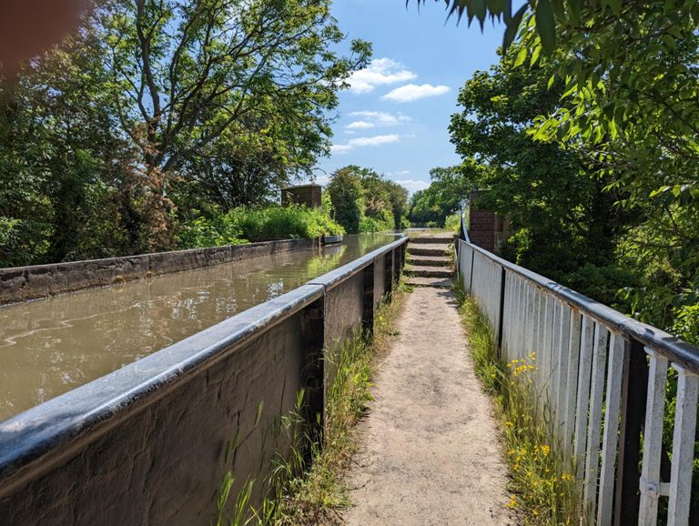
The View lunch stop
Created By
Stephanie Barnes
September 12, 2020
·
Public
Route and Elevation
Segments
Name
Distance
Elev. Diff.
Avg. Grade
Wellesbourne to Hampton Lucy
1.99 mi
-30 ft
-0.2%
Wellesbourne to Charlecote with horrible bumps
0.74 mi
-10 ft
-0.0%
Charlecote to Hampton Lucy sprint
0.44 mi
-20 ft
-0.3%
Hampton Lucy to Warwick Rd
1.94 mi
66 ft
0.5%
Hampton Lucy straight
0.96 mi
16 ft
0.2%
Stratford Rd Climb
0.47 mi
59 ft
2.3%
Final push
0.18 mi
36 ft
3.3%
First climb Ingon Lane from Warwick Road
0.25 mi
69 ft
5.2%
Ingon Lane Climb
1.68 mi
203 ft
2.3%
The first bit
0.29 mi
62 ft
4.0%
Ingon Lane ramp to A46 bridge Snitterfield
0.12 mi
52 ft
7.7%
Wolverton hill only
0.41 mi
118 ft
5.3%
Go fast all the way
1.45 mi
-184 ft
-2.3%
Oldberrow Southerly
0.76 mi
13 ft
0.3%
Morton Bagot to Spernal Lane
2.41 mi
-128 ft
-0.6%
Banhams Wood
0.28 mi
36 ft
2.4%
Put the hammer down
1.37 mi
-89 ft
-1.1%
Morton Common Sprint
0.19 mi
-13 ft
-1.1%
Spernal Lane (Southbound)
2.34 mi
-115 ft
-0.4%
Purity Punch
0.26 mi
52 ft
3.7%
Great Alne
1.71 mi
69 ft
0.8%
Great Alne climb
0.43 mi
49 ft
2.1%
Wheee Turning left.
0.55 mi
-72 ft
-2.3%
Roundhill sprint
0.28 mi
46 ft
2.9%
Roundhill Coppice Climb
1.33 mi
56 ft
0.5%
Our Lady Drag
0.42 mi
43 ft
1.8%
Wooton Wawen Rollercoaster
1.91 mi
85 ft
0.1%
And round the bend.
1.00 mi
-59 ft
-0.2%
Wilmcote Hill
0.22 mi
82 ft
6.8%
Aston Cantlow Road, Aston Cantlow
0.30 mi
20 ft
1.2%
Someone should make this a segment
0.23 mi
-82 ft
-6.6%
Billesley Manor
0.93 mi
79 ft
1.4%
A46 to Blue Boar
0.70 mi
30 ft
0.4%
Binton decent
1.32 mi
-180 ft
-2.6%
Max Power
0.40 mi
-72 ft
-3.5%
One pub to another
0.51 mi
43 ft
1.1%
Welford to Long Marston bump
1.38 mi
-115 ft
-0.1%
Welford Hump
0.25 mi
43 ft
2.7%
Top Guns
0.68 mi
-118 ft
-3.2%
Race to the tea stop
0.86 mi
7 ft
0.0%
WCC Airfield Attack
3.58 mi
-39 ft
-0.2%
Campden ---> Clifford (Back Lane to Waitrose RB)
3.41 mi
-56 ft
-0.0%
Clifford Lane part 1 The Step
0.17 mi
20 ft
2.1%
Shipston Road without Roundabout
0.61 mi
-23 ft
-0.7%
Tiddington "hill"
0.42 mi
16 ft
0.8%
Stratford to Alveston
1.48 mi
20 ft
0.2%
Alveston flypast
0.53 mi
7 ft
0.3%
Alveston to crossroads
1.57 mi
-43 ft
-0.1%
Up round the bend
0.35 mi
36 ft
1.9%
Charlecote to Wellesbourne
0.88 mi
13 ft
0.3%