

+ 37
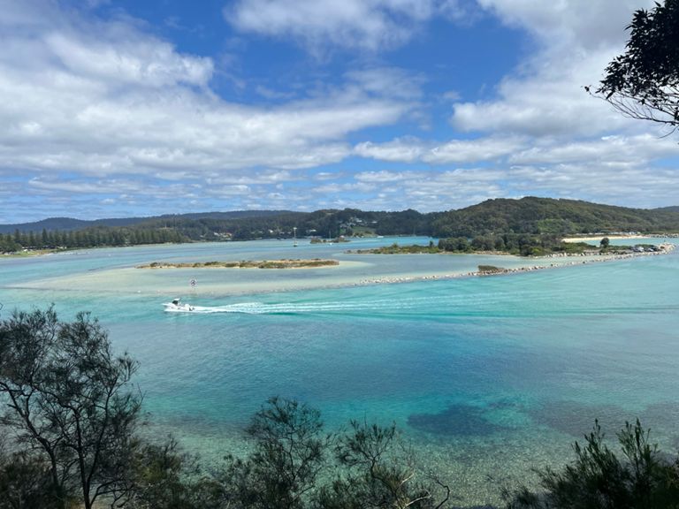
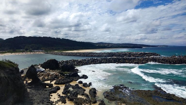
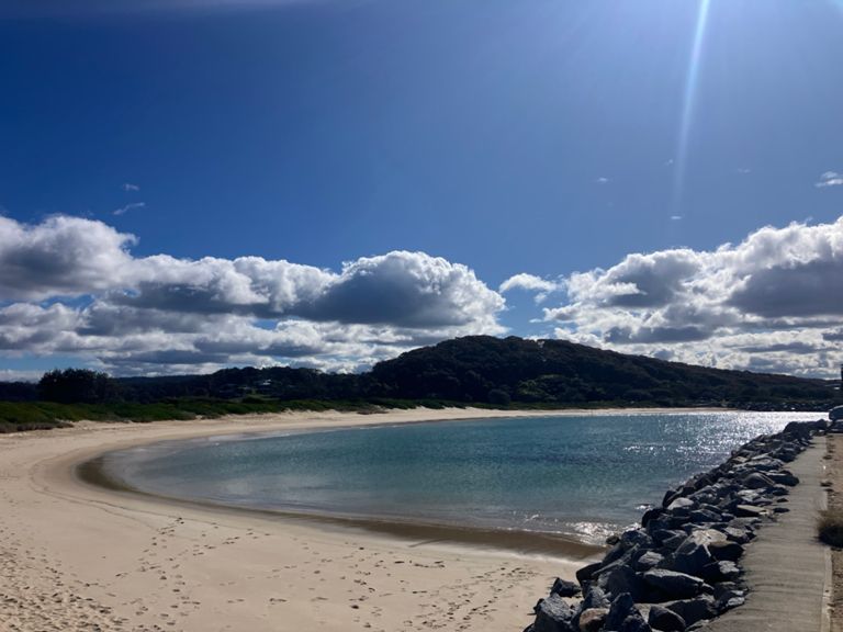
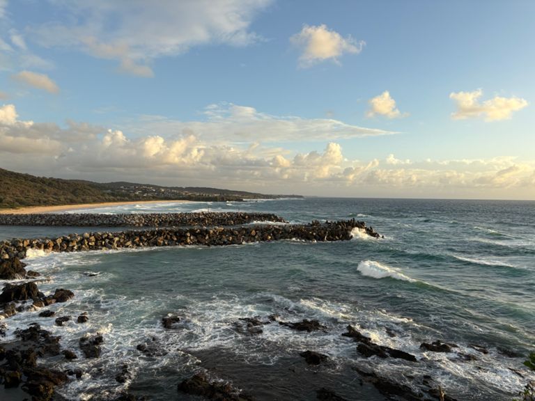
Narroma 47km with 1,064m Elevation (Long)
自行車路線
詳細資訊
46.95 公里
1,064 公尺
建立者:
TWT : Ride Across Portugal May 2026

路線和海拔
路段
| 名稱 | 距離 | 海拔差異 | 平均坡度 |
|---|---|---|---|
| Bay Rd Narooma | 0.30 公里 | 14 公尺 | 2.8% |
| Narooma Golf Course Hill - North Side Steep Part | 0.27 公里 | 28 公尺 | 10.2% |
| Narooma Golf Course Hill | 0.59 公里 | 32 公尺 | 5.2% |
| Narooma Golf Course Hill (Nth side) steep part ver 2 | 0.25 公里 | 21 公尺 | 7.9% |
| Up to Woolies | 0.68 公里 | 17 公尺 | 2.5% |
| NAR2 old hwy segment | 2.38 公里 | 49 公尺 | 1.3% |
| NAR2 first dirt to peak | 3.03 公里 | 60 公尺 | 2.0% |
| Engine Road Flyer | 1.56 公里 | -118 公尺 | -7.5% |
| Punkalla Tilba Rd hill long | 4.40 公里 | 180 公尺 | 4.0% |
| Wild Horse to Armatage | 2.69 公里 | 124 公尺 | 4.6% |
| Punkalla Tilba Rd Climb | 2.66 公里 | 123 公尺 | 4.6% |
| Punkalla Heights Climb | 0.71 公里 | 46 公尺 | 6.4% |
| Out of Tilba | 0.93 公里 | 46 公尺 | 4.9% |
| Corunna Climb | 0.85 公里 | 52 公尺 | 6.1% |
| Citrogen CX Descent | 0.54 公里 | -33 公尺 | -6.1% |
| Corunna to Bitumen | 1.73 公里 | 82 公尺 | 4.7% |
| Corunna Climb | 1.79 公里 | 78 公尺 | 4.4% |
| Back to town from Corounna Rd | 0.72 公里 | 46 公尺 | 6.3% |
| Nangudga Climb | 0.76 公里 | 43 公尺 | 5.7% |
| Crest to IGA | 0.71 公里 | -36 公尺 | -5.1% |