
Past Month


+ 21
Breeze from Whitworth - August Amble
Cycling Route
Details
34.61 mi
3,339 ft
Cafe Stop LEA GARDEN 11.5 mile approx
Created By
Alison G

Route and Elevation
Segments
| Name | Distance | Elev. Diff. | Avg. Grade |
|---|---|---|---|
| Old Hackney Ln Climb | 0.81 mi | 266 ft | 6.2% |
| Greenaway Grinder | 0.71 mi | 223 ft | 5.9% |
| Ameycroft Lane | 0.40 mi | 194 ft | 9.1% |
| Treacle Tarmac Lane | 0.62 mi | 59 ft | 1.8% |
| The Hulksters elbow | 0.11 mi | -23 ft | -3.8% |
| Holestone Moor to Butterfly Lane | 2.03 mi | -102 ft | -0.3% |
| GRAVITY | 0.40 mi | 95 ft | 4.2% |
| bend to old tip site sprint | 0.19 mi | 26 ft | 2.0% |
| Down Cunnery | 0.90 mi | -131 ft | -2.7% |
| cunnery corner to littlemoor lane | 0.76 mi | 125 ft | 2.3% |
| Long Lane only | 0.91 mi | 262 ft | 5.3% |
| Leashaw to the top | 1.62 mi | 164 ft | 1.9% |
| Butcher's to Tramway | 1.53 mi | 197 ft | 2.2% |
| Leashaw | 1.93 mi | 174 ft | 1.1% |
| Smell the Glove | 0.33 mi | -52 ft | -0.4% |
| Ski Jump | 1.01 mi | -322 ft | -4.2% |
| Wingfield Ramp | 0.46 mi | 79 ft | 0.8% |
| The wall | 0.14 mi | 141 ft | 10.8% |
| Cobra | 0.40 mi | 79 ft | 2.8% |
| Bumpmill bomb | 0.36 mi | -135 ft | -7.1% |
| bumpmill to butterfield lane turn | 0.47 mi | 98 ft | 3.7% |
| Pedalo push | 0.10 mi | 33 ft | 5.8% |
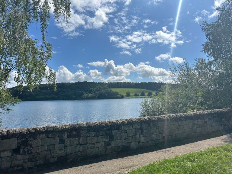
| Reservoir to White Horse | 0.33 mi | 108 ft | 6.0% |
| Butterley | 0.55 mi | 253 ft | 8.7% |
| Allen Lane easy way | 0.67 mi | -108 ft | -2.6% |
| Lant Lane (-> Slack) | 0.63 mi | 125 ft | 3.7% |
| Slack to Gladwin's Mark | 3.06 mi | 144 ft | 0.8% |
| Wirestone Lane supercharger | 2.19 mi | 118 ft | 1.0% |
| If your not going fast your Slackin | 0.43 mi | 85 ft | 3.8% |
| East along the tops | 2.32 mi | 79 ft | 0.3% |
| Wire Jagger | 0.81 mi | 56 ft | 1.1% |
| Screetham Lane | 0.79 mi | 39 ft | 0.4% |
| Built for comfort aint built for speed | 0.73 mi | -59 ft | -1.3% |
| Bent Lane descent | 1.65 mi | -400 ft | -4.6% |
| Long Hill D | 0.12 mi | -66 ft | -10.2% |