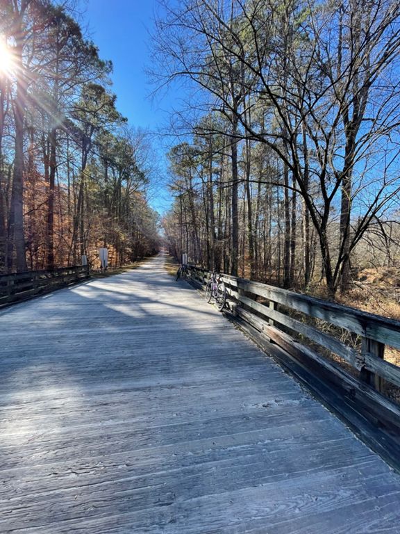
| Old Reedy Creek Climb into Umstead | 1.82 mi | 187 ft | 1.9% |
| Old Reedy Creek - Pavement end to Lookout | 1.55 mi | 118 ft | 1.4% |
| Old Reedy Creek into Umstead | 1.14 mi | 89 ft | 1.5% |
| Umstead Climb | 1.30 mi | 98 ft | 1.4% |
| ORC gate-Graylyn-Turkey-ORC gate | 13.49 mi | -233 ft | -0.0% |
| 12mi loop | 12.38 mi | 220 ft | 0.0% |
| Old Reedy Creek Rd Climb | 0.23 mi | 289 ft | 23.3% |
| Umstead - Lookout to Graylyn | 1.59 mi | -102 ft | -1.2% |
| Graveyard Down | 0.26 mi | -69 ft | -4.7% |
| Umstead Loop CW from RC | 7.29 mi | -184 ft | -0.0% |
| powerline | 0.66 mi | 131 ft | 3.8% |
| Graylyn Bridge to Sign at top of hill | 0.42 mi | 115 ft | 5.0% |
| Turkey! | 4.25 mi | -174 ft | -0.1% |
| Turkey Creek - South | 4.05 mi | -200 ft | -0.2% |
| N Turkey Creek - South | 2.20 mi | -174 ft | -1.3% |
| bridge | 0.36 mi | 105 ft | 5.5% |
| Narrow Passage | 0.29 mi | 13 ft | 0.1% |
| Turkey Creek climb between Cedar Ridge and Reedy Creek | 1.81 mi | 135 ft | 1.3% |
| Ebenezer Entrance to Water Fountain-South Turkey | 1.19 mi | 98 ft | 1.3% |
| S Turkey - Bridge to Reedy Creek Trail | 1.22 mi | 102 ft | 1.5% |
| Umstead - Gate to Gate | 4.62 mi | -233 ft | -0.0% |
| Umstead:Trenton to Overpass | 5.25 mi | -187 ft | -0.1% |
| Umstead path Reedy Creek to Airport Overlook | 3.48 mi | 213 ft | 0.4% |
| Reedy Creek Trail - Climb to the graveyard | 1.60 mi | 213 ft | 2.5% |
| Corkscrew - Bridge to Cedar Ridge | 0.69 mi | 144 ft | 4.0% |
| Corkscrew to Graveyard | 1.47 mi | 217 ft | 2.8% |
| corkscrew | 0.50 mi | 105 ft | 4.0% |
| Throw Down | 2.01 mi | 217 ft | 1.8% |
| Graveyard Hill to Drinking Fountains | 0.84 mi | 66 ft | 1.2% |
| Graveyard | 0.25 mi | 62 ft | 4.7% |
| Just the hill of Graveyard | 0.15 mi | 66 ft | 7.8% |
| Overlook to Gate--DOWN | 0.68 mi | -66 ft | -1.8% |
| OLD VERSION - Flyin down to ORC | 0.93 mi | -72 ft | -1.4% |


