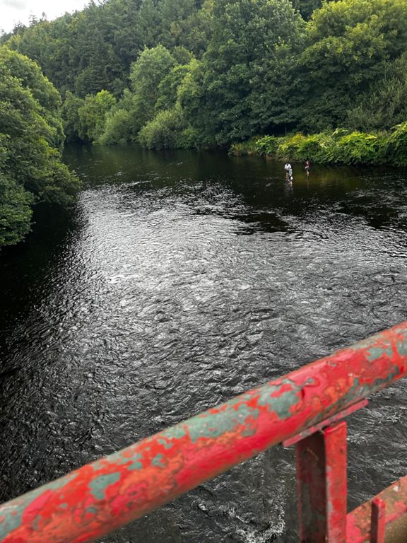
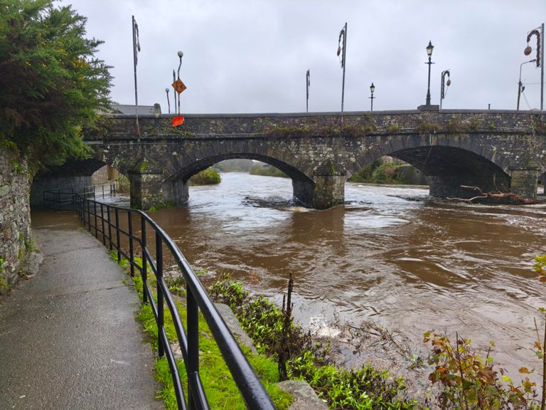
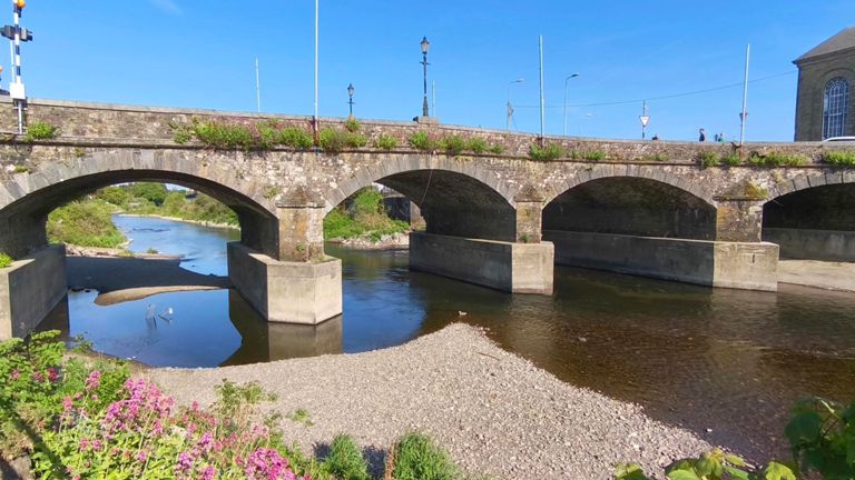
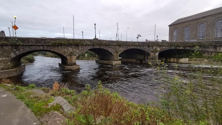
FOD 50K Option 2 Bandon Crossbarry Waterfall
自行車路線
詳細資訊
52.99 公里
518 公尺
路線和海拔
路段
| 名稱 | 距離 | 海拔差異 | 平均坡度 |
|---|---|---|---|
| Viaduct Hill | 4.66 公里 | 111 公尺 | 2.4% |
| Viaduct up & down | 5.80 公里 | 98 公尺 | 0.0% |
| Liberty Hill - Ballinhassig (drop) | 2.72 公里 | -102 公尺 | -3.7% |
| Innishanon hill | 3.30 公里 | 34 公尺 | 0.8% |
| webbs descent | 2.24 公里 | -61 公尺 | -2.7% |
| Upriver Run | 5.48 公里 | 8 公尺 | 0.1% |
| Forge Innishannon to Bandon | 5.03 公里 | 6 公尺 | 0.1% |
| OLeary West | 1.65 公里 | 9 公尺 | 0.3% |
| Kilbrogan Hill/ Lovell's Cross | 1.65 公里 | 49 公尺 | 2.9% |
| Bandon - Crossbarry | 9.62 公里 | -53 公尺 | -0.0% |
| Lovell's Cross Swing | 0.76 公里 | -24 公尺 | -2.2% |
| last hill before brinny bridge | 0.19 公里 | 2 公尺 | 1.1% |
| brinny X to Xbarry | 4.23 公里 | 27 公尺 | 0.3% |
| Garryhankard Lump | 1.42 公里 | 22 公尺 | 1.5% |
| Crossbarry to Ballyleigh steep section | 0.91 公里 | 71 公尺 | 7.7% |
| Ballyleigh from Crossbarry | 4.28 公里 | 130 公尺 | 2.8% |
| Killeady Bridge Climb | 3.77 公里 | 135 公尺 | 3.6% |
| turn short of ballyleigh | 3.89 公里 | 137 公尺 | 3.4% |
| Warners Cross to Waterfall | 4.12 公里 | -67 公尺 | -1.4% |