| De La Warr Climb West | 0.76 mi | 66 ft | 1.6% |
| Bexhill to cooden | 1.91 mi | -49 ft | -0.0% |
| Cooden Drive Sprint (West) | 0.70 mi | -20 ft | -0.4% |
| Herbrand Walk (West) | 0.94 mi | -39 ft | -0.3% |
| The Casual ride out to Beachy Head | 13.03 mi | 499 ft | 0.7% |
| the flat bit | 2.11 mi | 33 ft | 0.2% |
| 4k into the wind | 2.51 mi | -20 ft | -0.0% |
| Spooky Hill | 0.60 mi | 20 ft | 0.0% |
| Sluice Lane Incline East-West | 0.28 mi | 20 ft | 1.2% |
| Rockhouse to end of Sluice Lane | 1.73 mi | -23 ft | -0.2% |
| chaingang sprint | 0.30 mi | 7 ft | 0.4% |
| Pevensey to Pevensey Bay | 0.78 mi | 7 ft | 0.0% |
| Pevensey lights to line | 0.32 mi | 0 ft | 0.0% |
| Pevensey Bay to Langney RAB | 2.14 mi | -7 ft | -0.1% |
| Pevensey Sprint | 1.17 mi | -7 ft | -0.0% |
| Pevensey Bay to the Pier | 4.07 mi | 20 ft | 0.0% |
| Asda RAB > Langney RAB | 0.48 mi | 0 ft | 0.0% |
| Princess sprint | 0.17 mi | -7 ft | -0.3% |
| Princes Road (N to S) | 0.57 mi | -7 ft | -0.1% |
| Groyne strain. | 2.95 mi | 190 ft | 1.1% |
| Sovereign RAB to Pier | 1.38 mi | 13 ft | 0.1% |
| Phoenix from the Flames | 0.44 mi | 7 ft | 0.3% |
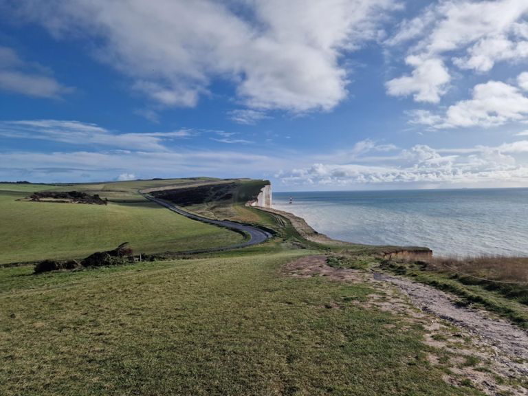
| Beachy Head - through and through | 4.84 mi | -495 ft | -0.6% |
| The worst of it | 0.16 mi | 66 ft | 7.3% |
| Beachy Head Road to Pub | 0.97 mi | 52 ft | 1.0% |
| Up to the Pub | 0.89 mi | 23 ft | 0.4% |
| Pub Rush | 0.33 mi | 26 ft | 1.2% |
| Beachy Head Pub to Lighthouse | 1.45 mi | -351 ft | -4.4% |
| beachyhead pub to birling gap | 2.50 mi | -486 ft | -3.3% |
| Through the bends | 0.31 mi | -115 ft | -7.0% |
| Beachy Head Sprint (accurate one) | 0.91 mi | -220 ft | -4.6% |
| flat run into birling | 0.38 mi | -56 ft | -2.7% |
| Birling Gap to East Dean | 1.05 mi | 161 ft | 1.9% |
| Birling Gap Road Hill | 0.46 mi | 89 ft | 3.5% |
| birling gap to east dean climb | 0.23 mi | 52 ft | 4.1% |
| Lower Street | 0.29 mi | 56 ft | 3.5% |
| Polegate to Cooden | 8.92 mi | -98 ft | -0.1% |
| Polegate to Stone Cross | 2.12 mi | 56 ft | 0.1% |
| Polegate | 1.28 mi | -36 ft | -0.4% |
| Stone Cross to Normans Bay Crossing | 4.66 mi | -102 ft | -0.3% |
| Rattle Road | 1.41 mi | -92 ft | -0.9% |
| Rattle Rise | 0.19 mi | 20 ft | 1.6% |
| 4k with the wind | 2.50 mi | 23 ft | 0.0% |
| Sluice Lane hill sprint | 0.14 mi | 13 ft | 1.7% |
| Herbrand Straight | 0.74 mi | 43 ft | 0.3% |
| Cooden Drive Hill W>E | 0.12 mi | 26 ft | 4.0% |
| Cooden Drive Straight (East) | 0.69 mi | 20 ft | 0.4% |
| Gally Hill Sprint | 0.23 mi | 39 ft | 3.0% |
| Galley Hill (in time to u turn at top!) | 0.15 mi | 33 ft | 3.9% |
| Claxton Road Dash | 0.13 mi | -30 ft | -3.7% |