
Past Month

Past Month
Past Month

Past Month

Past Month

+ 176
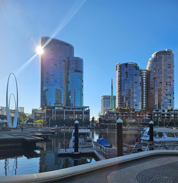
River Loop Canning Bridge
Cycling Route
Details
53.0 km
709 m
Inglewood Deli to Fremantle, Canning Bridge & Nu:Chard
Created By
Julian Wright

Route and Elevation
Segments
| Name | Distance | Elev. Diff. | Avg. Grade |
|---|---|---|---|
| North St | 1.30 km | 23 m | 1.1% |
| William St South, Walcott to Vincent | 0.64 km | -6 m | -0.2% |
| William St Beat the Lights | 0.50 km | -11 m | -0.8% |
| Horseshoe | 0.22 km | 9 m | 3.4% |
| Narrows to Boat Shed | 2.49 km | 10 m | 0.2% |
| Bridge to OSB Sprint | 0.58 km | -7 m | -0.3% |
| Mounts Bay Rd Cruise | 1.45 km | 0 m | 0.0% |
| Interstellar hyper-drive | 0.49 km | 6 m | 0.4% |
| Choppers Statue to Boat shed speed check | 0.27 km | -1 m | -0.4% |