


+ 32
BikeRentalcc - Brookfield 3 Fingers
Cycling Route
Details
76.75 km
1,305 m
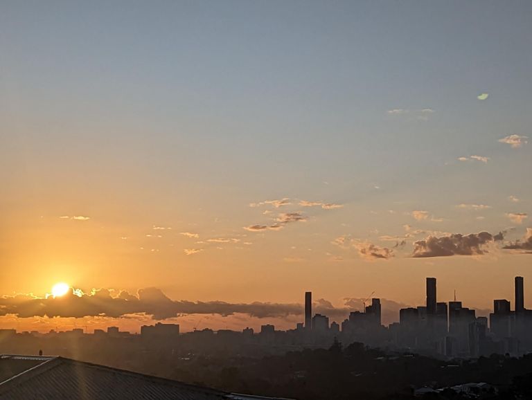
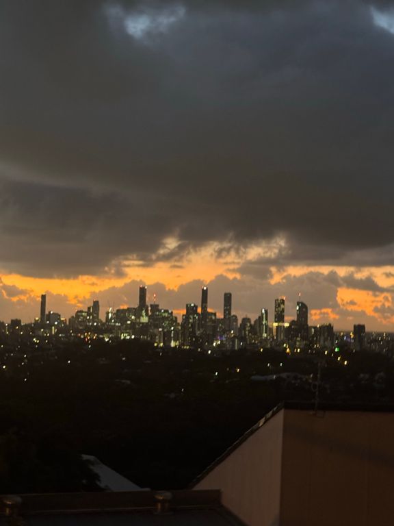
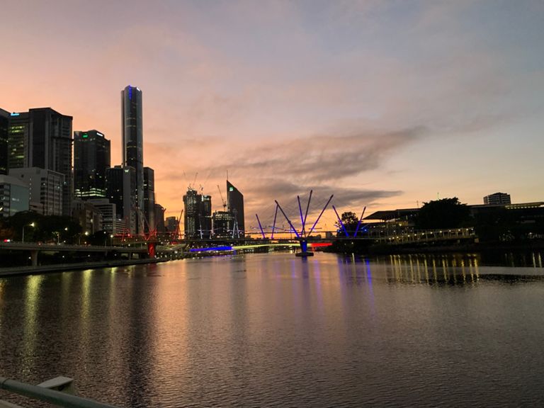
The Brookfield 3 Fingers ride is a scenic yet challenging journey through Brisbane’s lush western outskirts. Covering 76.75km with 1,305m of climbing, this route is perfect for experienced cyclists seeking a blend of endurance and breathtaking landscapes.
Starting from Paddington, you’ll make your way to Brookfield, a peaceful area known for its rolling green hills and countryside charm. The “3 Fingers” refers to the three distinct climbs that define this ride, each offering rewarding views and a chance to test your legs.
This route combines quiet back roads, stunning vistas, and a healthy dose of climbing, with an average ride time of 3 hours 43 minutes. Don’t forget to stop at the local café in Brookfield for a quick refuel before tackling the final stretch.
Whether you’re training or exploring, the Brookfield 3 Fingers ride is a must for Brisbane cycling enthusiasts. Rent a high-performance bike with us and take on the challenge today! 🚴♂️⛰️