Strava
Mobile
Features
Subscribe
Maps
Stories
Sign Up
Log In
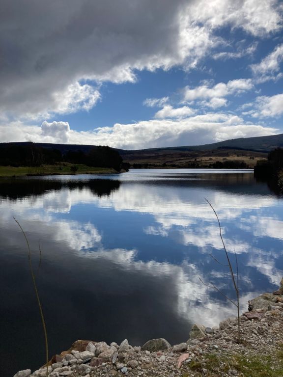
26 Miles to Knockburn and back
Cycling Route
Save
Share
Embed
Copy URL
Export TCX
Export GPX
Print
Details
26.23 mi
2,017 ft
Created By
Gordon L
September 15, 2015
·
Public
Route and Elevation
Segments
Name
Distance
Elev. Diff.
Avg. Grade
Get up the hill
0.94 mi
118 ft
2.2%
West on Slug to Swanley turn off
4.71 mi
364 ft
1.5%
Slug Road ascent from Stonehaven
7.09 mi
666 ft
1.8%
Stonehaven To Top Of Slug
7.08 mi
669 ft
1.8%
Slug road from the south
5.11 mi
551 ft
2.0%
Rickarton Climb
0.97 mi
180 ft
3.5%
Swanley to top of Slug
2.26 mi
312 ft
2.6%
Slug Road East Climb
1.83 mi
285 ft
2.9%
Durris to the Top
0.92 mi
171 ft
3.5%
Slug Road West Descent
2.11 mi
-413 ft
-3.7%
Slug Rd descent
1.74 mi
-358 ft
-3.9%
FIrst bit of the climb over to knockburn
1.06 mi
226 ft
3.9%
Garrol East Climb
2.03 mi
381 ft
3.6%
The Garrol
2.11 mi
413 ft
3.7%
Up The Garrol
1.91 mi
381 ft
3.8%
Knockburn from Loch
1.62 mi
361 ft
4.1%
Garrol West Climb
1.51 mi
351 ft
4.4%
garrol climb from loch
1.36 mi
335 ft
4.6%
Slug Rd Climb
0.33 mi
105 ft
5.9%
Garrol East Descent
2.01 mi
-364 ft
-3.4%
Slug Road West Climb
2.12 mi
423 ft
3.8%
From the Bridge to the top
1.80 mi
367 ft
3.9%
Slug Road Easy Climb
1.59 mi
312 ft
3.7%
A957 Easy Climb
1.56 mi
305 ft
3.7%
Cairn-mon-earn to Ink Bottle
5.67 mi
-577 ft
-1.9%
Slug Road East Descent
1.88 mi
-289 ft
-2.9%
Cairn-mon-earn to Cowton
4.02 mi
-423 ft
-2.0%
cairn-mon-earn to mowtie
4.76 mi
-472 ft
-1.9%
Rickarton Descent
0.62 mi
-128 ft
-3.9%
flat out for an Empire Biscuit
2.68 mi
-190 ft
-1.3%
slug sprint to stoney
1.30 mi
-184 ft
-2.0%
bum sprint
0.37 mi
-49 ft
-1.4%