| Mike's Bikes Sprint | 1.02 km | -3 m | -0.3% |
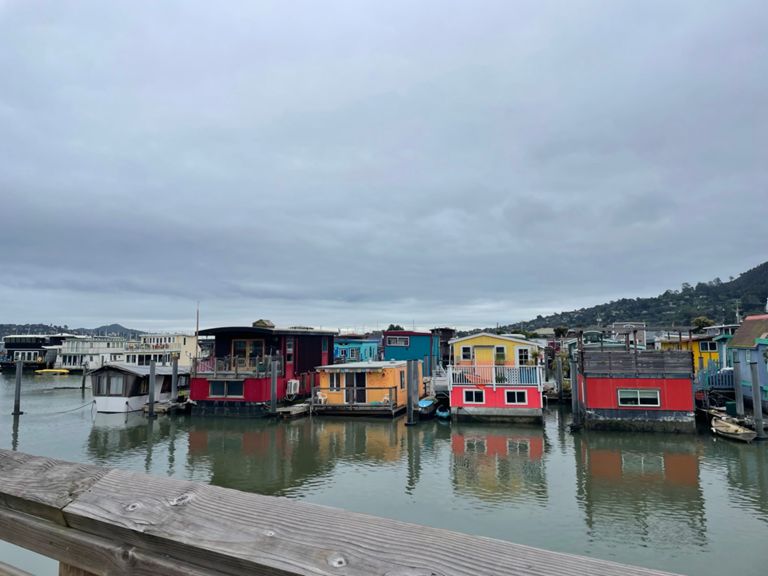
| houseboats to seaplanes | 0.49 km | 4 m | 0.8% |
| The Camino Alto Warmup Sprint | 0.94 km | -2 m | -0.2% |
| Rosemont Climb - Almonte to Julia | 0.21 km | -3 m | -1.6% |
| Miller Ave Sprint | 0.75 km | 0 m | 0.0% |
| Camino Alto > Fairfax | 13.40 km | 100 m | 0.2% |
| Camino Alto climb | 2.01 km | 94 m | 4.6% |
| Camino Alto: Start to Vasco | 0.82 km | 37 m | 4.4% |
| Camino Alto (Mill Valley side) | 1.98 km | 94 m | 4.7% |
| sprint! | 0.39 km | 25 m | 6.4% |
| Camino Alto Overhill Rd to Menke Park | 2.64 km | -78 m | -1.3% |
| Camino Alto - northbound from Vasco | 0.76 km | 34 m | 4.4% |
| Camino Alto - Final Sprint | 0.38 km | 14 m | 3.8% |
| C.A. North side drop | 1.46 km | -71 m | -4.8% |
| Magnolia Sprint to Bon Air Rd | 0.67 km | -6 m | -0.7% |
| College to Downtown Ross | 1.05 km | 4 m | 0.4% |
| Berlin Ave Climb | 0.68 km | 7 m | 0.8% |
| Up and over Whites to NVR | 5.66 km | 112 m | 0.6% |
| White's Hill (SV Official) | 1.36 km | 105 m | 7.7% |
| White's Summit Sprint | 0.11 km | 9 m | 7.4% |
| Whites Summit to San Geronimo Golf Course | 3.89 km | -82 m | -2.1% |
| White's Hill westbound | 0.77 km | -39 m | -4.3% |
| Golf course hill | 1.30 km | 68 m | 5.2% |
| Golf Course to Nicasio | 7.83 km | -121 m | -0.7% |
| NVR climb | 0.81 km | 51 m | 6.2% |
| Valley road TT | 5.35 km | -119 m | -2.1% |
| Dixon Ridge to Pt Reyes/Petaluma Rd via Nicasio | 10.84 km | -119 m | -1.0% |
| Lucas Valley Rd Sprint | 1.74 km | -41 m | -2.4% |
| Nicasio Town Limit Sprint | 0.75 km | -6 m | -0.8% |
| Rancho Nicasio to Pt. Reyes Petaluma Rd | 4.89 km | -15 m | -0.0% |
| Nicasio to Reservoir Dam TT | 8.82 km | -28 m | -0.2% |
| Roasters sprint | 0.22 km | 4 m | 1.1% |
| Nicasio Valley Road power climb - northbound | 0.61 km | 13 m | 2.1% |
| Nicasio Dam to Platform Bridge Rd | 1.24 km | -38 m | -3.1% |
| Olema to Bolinas | 14.70 km | -134 m | -0.1% |
| Shoreline Flat | 6.87 km | 6 m | 0.0% |
| Stinson to Pantoll (Climb up Panoramic Hwy) | 5.61 km | 411 m | 7.3% |
| Stinson to Pantoll Top Half | 2.65 km | 204 m | 7.5% |
| Pantoll to 4 Corners | 7.09 km | -236 m | -3.3% |
| Pantoll to First Flat - Starting Later for those who stop at the stop | 2.40 km | -151 m | -6.2% |
| Pantoll to Gravity car | 4.04 km | -154 m | -3.8% |
| Mt Home Inn Flat + Sprint | 2.85 km | 29 m | 0.2% |
| Wednesday Night Drags | 0.37 km | 11 m | 2.8% |
| MT HO - BRO | 2.70 km | -96 m | -2.6% |
| Marin View Ave sprint | 0.47 km | 26 m | 5.1% |
| St Jude to 4 Corners | 1.52 km | -84 m | -5.3% |
| So you think you can dance? | 0.59 km | -53 m | -8.8% |
| Four Corners Sprint | 0.42 km | -14 m | -2.9% |
| 101-Mike's | 1.13 km | -2 m | 0.0% |
| Mike's Bikes Done | 0.73 km | -3 m | 0.0% |