| Veloway - Seacombe Rd to Majors Rd turnoff | 3.30 km | 134 m | 4.0% |
| expressway interval | 1.59 km | 85 m | 5.3% |
| veloway - Majors to Panatalinga exit | 3.13 km | -93 m | -2.5% |
| Veloway - Majors to Moore Rd Exit | 6.71 km | -118 m | -1.4% |
| Brodie Road To SExy End | 6.11 km | -66 m | -1.1% |
| River to Seaford Heights Bike Track | 4.07 km | 55 m | 1.4% |
| Seaford Meadows to overpass via bikeway | 7.81 km | 49 m | 0.3% |
| Rail Trail Reverse | 1.65 km | 25 m | 1.5% |
| Sprint to Seaford Rd | 0.43 km | 19 m | 4.4% |
| Coast to Vines Barbados to Pedler Climb | 0.73 km | 13 m | 1.7% |
| McLaren Flat to Schuller Rd | 8.07 km | 123 m | 1.4% |
| Lot 4 Wickhams Hill Rd Climb | 0.61 km | 19 m | 3.0% |
| solo away mission | 3.62 km | 22 m | 0.2% |
| Clarendon township uphill | 1.24 km | 67 m | 4.9% |
| Clarendon Hill Intervals | 1.80 km | 71 m | 3.8% |
| 1st Hairpin to Oakridge | 5.17 km | 130 m | 2.2% |
| Cherry Gardens TT | 6.31 km | 66 m | 0.8% |
| Ironbank Road Climb | 0.86 km | 133 m | 15.3% |
| Mark Oliphant Hill | 0.88 km | 70 m | 7.7% |
| The Wall | 1.10 km | 111 m | 10.1% |
| Crafers-Lofty Climb | 2.34 km | 125 m | 5.1% |
| Mt Lofty Summit Road Burn | 0.48 km | 32 m | 6.6% |
| Shurdy sprint | 0.31 km | 25 m | 8.0% |
| Mt Lofty Scenic Route - DH 2 | 4.78 km | -91 m | -0.6% |
| Crafers - Lofty Climb - Blackburn to gates | 1.60 km | 58 m | 3.5% |
| Killer Crunch | 0.16 km | 18 m | 10.9% |
| Mt Lofty Summit Descent | 3.08 km | -97 m | -3.0% |
| Woody Sprint | 0.28 km | -13 m | -4.6% |
| Woods Hill Sprint - Downhill | 2.08 km | -31 m | -0.9% |
| Greenhill Rd to Marble Hill | 4.31 km | -48 m | -0.7% |
| Woods hill sprint | 0.40 km | 16 m | 2.9% |
| Ashton | 1.17 km | -39 m | -2.5% |
| Marble Hill (to the bus stop) | 2.24 km | 44 m | 2.0% |
| Championship Hill | 0.16 km | 14 m | 8.5% |
| The Graveyard Shift | 1.11 km | -79 m | -7.1% |
| Corkscrew - down to Gorge rd | 3.58 km | -243 m | -6.8% |
| Corkscrew - DH | 1.62 km | -139 m | -8.6% |
| Gorge Rd, Corkscrew to Top of Reservoir | 4.73 km | 158 m | 3.3% |
| Gorge Road Climb | 9.39 km | 154 m | 1.3% |
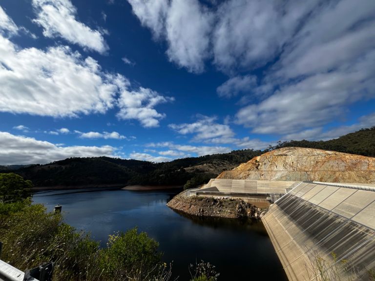
| Kangaroo Creek Dam Climb | 2.07 km | 104 m | 5.0% |
| Torrens Hill to Tippett Rd | 4.40 km | 48 m | 0.5% |
| Tippet Rd | 2.07 km | 31 m | 0.3% |
| Anzac Hwy: West Tce to Greenhill Rd | 0.76 km | -8 m | -1.0% |
| Anzac Hwy: Greenhill to Leader | 0.85 km | -21 m | -1.0% |
| greenhill to marion | 3.46 km | -17 m | -0.4% |
| Anzac Hwy: Greenhill to South | 1.41 km | -11 m | -0.8% |
| HUBBARD SEGMENT | 0.64 km | -2 m | -0.3% |
| Anzac Hwy: South to Beckman (S2S) | 0.80 km | -13 m | -0.6% |
| Anzac Hwy: South to Marion (S2S) | 1.69 km | -8 m | -0.5% |
| Beckman to Marion Sprint | 0.86 km | -4 m | -0.4% |


