
Past Two Weeks

Past Month


+ 63
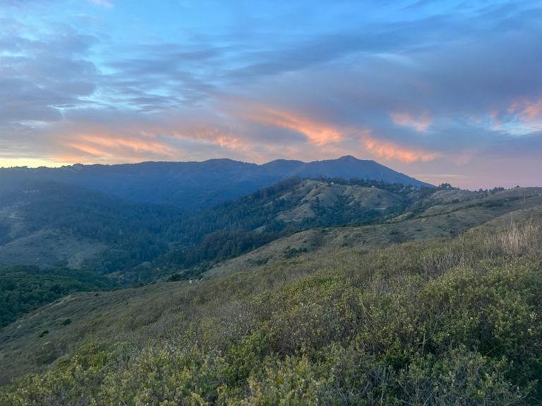
Green Gulch Diaz Ridge Loop
Cycling Route
Details
7.75 mi
1,337 ft
Up Green Gulch, along Coyote Ridge, Miwok to Diaz Ridge to Muir Loop.
Created By
Mario M

Route and Elevation
Segments
| Name | Distance | Elev. Diff. | Avg. Grade |
|---|---|---|---|
| Middle Green Gulch Trail Climb | 0.86 mi | 289 ft | 6.3% |
| Green Gulch/Miwok/Diaz | 7.37 mi | 974 ft | 0.1% |
| Middle Green Gulch | 2.20 mi | 974 ft | 8.4% |
| Green Gulch Climb to Coyote Ridge | 1.72 mi | 814 ft | 8.9% |
| true green gulch to ridge | 2.06 mi | 935 ft | 8.6% |
| Green Gulch | 1.45 mi | 659 ft | 8.6% |
| Middlegreen to Coyote Ridge | 1.93 mi | 876 ft | 8.6% |
| burstin fowell | 0.35 mi | 269 ft | 14.5% |
| miggy's wall | 0.11 mi | 102 ft | 17.6% |
| green gulch wall to happy ending trailhead | 0.95 mi | 420 ft | 8.3% |
| Middle Green Gulch Kicker Full | 0.27 mi | 203 ft | 13.9% |
| Middle Green Gulch Kicker | 0.08 mi | 85 ft | 20.1% |
| Coyote Ridge (Coastal to Summit) | 0.46 mi | 115 ft | 4.6% |
| kicker | 0.24 mi | 95 ft | 7.3% |
| coyote miwok dh | 1.65 mi | -400 ft | -4.6% |
| Miwok (Coyote Ridge to Hwy 1) | 1.52 mi | -279 ft | -2.8% |
| Miwok Fireroad Descent to Hwy 1 | 1.37 mi | -328 ft | -4.2% |
| Miwok (Hwy 1 to Dias Ridge) | 0.41 mi | 102 ft | 4.1% |
| Dias Ridge Descent | 2.76 mi | -738 ft | -4.6% |
| gottasee the sea | 0.35 mi | 118 ft | 6.3% |
| Diaz Ridge DH | 1.52 mi | -732 ft | -9.0% |