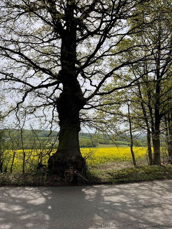
| Claypit Hill | 0.59 mi | 174 ft | 5.5% |
| Sunshine Plain (Jelly Legs to Wake Arms) | 0.75 mi | 39 ft | 0.7% |
| Up to Sunshine Plain Short | 0.42 mi | -16 ft | -0.5% |
| Wake up Cooper | 2.04 mi | -203 ft | -1.0% |
| Hilltop to Piercing Hill junction | 0.64 mi | -161 ft | -4.7% |
| Theydon Downhill Burn | 0.53 mi | -131 ft | -4.5% |
| Abridge Road Angst | 0.48 mi | 79 ft | 3.1% |
| Abridge...A Bridge | 0.16 mi | 20 ft | 2.3% |
| Coopersale Lane | 0.96 mi | -135 ft | -2.6% |
| Blunts Farm (sprint) | 0.20 mi | -10 ft | -0.9% |
| Bartlemy Grove (climb) | 0.18 mi | 26 ft | 2.6% |
| Epping Lane - Mount to Passingford Bridge | 0.75 mi | -23 ft | -0.2% |
| Shalesmere Cottage (sprint) | 0.30 mi | 10 ft | 0.5% |
| Tawney to Shonks Sprint | 0.87 mi | -36 ft | -0.2% |
| London Road Dash | 0.21 mi | -30 ft | -0.7% |
| Shonks Hill | 1.51 mi | 72 ft | 0.2% |
| b/more rd sprint , from school rd to quacks | 0.39 mi | -10 ft | -0.3% |
| The steep bit leg pump | 0.14 mi | 36 ft | 4.9% |
| Randolph Turpin | 1.16 mi | 23 ft | 0.0% |
| Baby Hill Blast | 0.74 mi | -26 ft | -0.3% |
| Honeypot Lane | 0.60 mi | 128 ft | 3.9% |
| Honeypot to Mill Rd. | 0.43 mi | 72 ft | 3.1% |
| Hawkswood Road (westbound) | 1.75 mi | -39 ft | -0.2% |
| Downham Rd Climb | 0.31 mi | 56 ft | 3.5% |
| Toot Hill Road | 0.93 mi | 82 ft | 0.9% |
| Toot Hill Sign Sprint | 0.39 mi | 30 ft | 1.1% |
| Toot Hill to Banks Lane | 2.51 mi | -164 ft | -0.9% |
| Banks Lane Descent | 0.13 mi | -33 ft | -4.6% |
| last hill banks lane | 0.14 mi | -36 ft | -2.4% |
| Fiddlers Hamlet - Ivy Chimneys (stage) | 1.54 mi | 197 ft | 2.4% |
| Epping Golf Course (sprint) | 0.42 mi | 20 ft | 0.9% |
| Gardeners Farm (climb) | 0.31 mi | 49 ft | 2.9% |
| bridge hill | 0.11 mi | 46 ft | 7.4% |
| Ivy Chimneys | 0.64 mi | 141 ft | 4.2% |
| Ivy Chimneys 2nd hill sprint | 0.33 mi | 98 ft | 5.6% |
| Hit it hard blud. | 1.63 mi | 43 ft | 0.2% |
| Keep it on the pavement Guv | 0.77 mi | 33 ft | 0.8% |
| Crown Hill to Wake Arms | 0.69 mi | -30 ft | -0.8% |
| Robin Hood to Rangers Rd Dash | 2.60 mi | -200 ft | -1.4% |
| Jack's Hill - Strawberry Hill (stage) | 1.60 mi | -115 ft | -1.3% |
| Downhill Epping New Road | 1.09 mi | -164 ft | -2.8% |
| Epping New Road Sprint | 0.91 mi | -112 ft | -1.8% |
| Downhill short | 0.29 mi | -43 ft | -2.8% |
| Drag to the Ranger | 0.47 mi | 23 ft | 0.9% |
| Rangers Road (Long Version) | 0.75 mi | -59 ft | -0.2% |
| Closed Road | 0.43 mi | 49 ft | 1.1% |
| Rangers Road | 0.29 mi | 52 ft | 3.3% |
| Bury Rd hill from Chingford Green | 0.45 mi | 39 ft | 1.7% |
| Bury Rd | 1.21 mi | 79 ft | 1.0% |
| Daws Hill | 0.47 mi | -144 ft | -5.7% |


