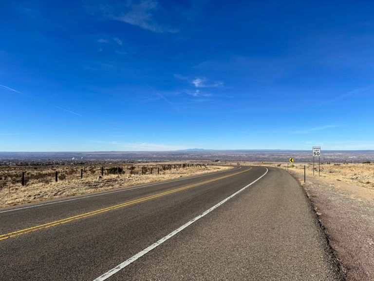
| Wooooo | 0.31 mi | -82 ft | -4.8% |
| Bellamah Avenue Northwest Climb | 0.25 mi | 295 ft | 22.1% |
| mountain race | 0.66 mi | -3 ft | -0.1% |
| Rio Grande (Montano to Paseo) | 3.17 mi | 39 ft | 0.2% |
| Rio Grande Boulevard Northwest Climb | 0.60 mi | 404 ft | 12.7% |
| sprint to the barn | 0.38 mi | 3 ft | 0.1% |
| PDN - Rio Grand to Edith | 1.73 mi | 39 ft | 0.1% |
| Irrigation Ditch to Edith Sprint | 1.26 mi | 39 ft | 0.1% |
| Double Overpass Climb | 0.46 mi | 36 ft | 1.5% |
| The "other" Edith climb (Eastbound from Edith) | 0.40 mi | 56 ft | 2.7% |
| Fruit Loops to BFP | 1.34 mi | -30 ft | -0.0% |
| North Diversion Path (Alameda to Balloon Fiesta Park) | 0.63 mi | -16 ft | -0.4% |
| BF to BFP Climb | 1.16 mi | 89 ft | 1.5% |
| Balloon Fiesta Parkway Climb | 0.39 mi | 62 ft | 2.9% |
| I-25 to Valero | 0.50 mi | 98 ft | 3.7% |
| Tramway: I25 to Stoplight | 0.41 mi | 56 ft | 2.5% |
| Kicker to gas station | 0.31 mi | 69 ft | 4.3% |
| Tramway: Casino Stoplight to 333/La Luz Turnoff | 3.59 mi | 774 ft | 4.1% |
| Rainbow road to mile marker 6 | 1.71 mi | 322 ft | 3.6% |
| Casino to La Luz Trail head | 5.45 mi | 1,657 ft | 5.8% |
| 5.46 mi | 1,657 ft | 5.7% |
| Tramway, Last mile to La Luz | 0.98 mi | 243 ft | 4.7% |
| La-Luz *every inch* | 2.31 mi | 958 ft | 7.8% |
| La Luz 1st cattle guard to Tierra Monte | 0.97 mi | 328 ft | 6.4% |
| La Luz, 1st Cattle Guard to Parking Lot | 2.39 mi | 988 ft | 7.7% |
| checking threshold watts | 1.83 mi | 741 ft | 7.7% |
| La Luz Trail Climb | 2.16 mi | 915 ft | 8.0% |
| La Luz, 2nd Cattle Guard to Parking Lot | 2.16 mi | 889 ft | 7.8% |
| and another... | 1.67 mi | 689 ft | 7.8% |
| another la luz seg | 1.75 mi | 784 ft | 8.5% |
| La Luz - Last Gasp - Pillars to Parking Lot | 0.45 mi | 217 ft | 9.2% |
| La Luz Descent | 2.37 mi | -984 ft | -7.8% |
| La Luz Tr Descent | 2.17 mi | -856 ft | -7.5% |
| Safe Descent | 2.15 mi | -866 ft | -7.6% |
| La Luz Rd to Stop sign | 0.92 mi | 85 ft | 1.7% |
| Tramway south County Line to Spain | 3.08 mi | -98 ft | -0.6% |
| Radec Llih (Cedar Hill backwards) | 0.42 mi | -30 ft | -1.4% |
| Cedar Hill to Academy on Tramway | 2.12 mi | -69 ft | -0.6% |
| Spain to Academy (bike path) | 0.41 mi | 20 ft | 0.8% |
| Comanche (YMCA to Juan Tabo) | 0.86 mi | -151 ft | -3.3% |
| Comanche (Juan Tabo to Morris) | 0.47 mi | -66 ft | -2.7% |
| Nordeste Trail - San Mateo to The Channel | 1.31 mi | -95 ft | -1.3% |
| Aztec to Menaul | 0.75 mi | 10 ft | 0.2% |
| I40 Interval | 0.75 mi | 3 ft | 0.0% |
| Indian School to Psych Center | 0.43 mi | 3 ft | 0.2% |
| T-(Large)-bone sprint. | 0.08 mi | 20 ft | 4.2% |


