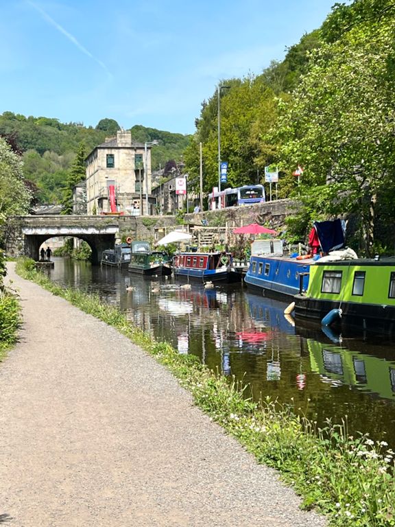
| Mytholmroyd - Hebden Bridge | 1.19 mi | 46 ft | 0.5% |
| Mytholm to Oxenhope Summit | 5.76 mi | 1,112 ft | 3.7% |
| mytholm to hebden | 1.19 mi | 36 ft | 0.6% |
| Royd to Hebden | 1.04 mi | 43 ft | 0.4% |
| Hebdon climb | 4.42 mi | 1,083 ft | 4.6% |
| Hebden to Pecket Well | 1.47 mi | 528 ft | 6.8% |
| Keighley Road start | 0.39 mi | 118 ft | 5.4% |
| White Lion to top | 4.39 mi | 1,076 ft | 4.6% |
| A6033 Climb (Hebden Bridge towards Oxenhope) (full length to final peak) | 4.21 mi | 1,063 ft | 4.8% |
| Hebden to Craggs turning | 0.47 mi | 164 ft | 6.6% |
| A6033 Climb (Hebden Bridge towards Oxenhope) | 3.54 mi | 1,017 ft | 5.4% |
| Climb to Pecket Well | 1.22 mi | 453 ft | 6.5% |
| Sunny Royd Climb | 0.72 mi | 272 ft | 7.1% |
| Hebden Bridge to the Bay Horse Oxenhope | 6.01 mi | 991 ft | 1.1% |
| cock hill | 4.05 mi | 1,010 ft | 4.7% |
| cock hill | 4.05 mi | 1,010 ft | 4.7% |
| OFFICIAL oxenhope climb | 3.70 mi | 955 ft | 4.9% |
| Cock o'the Hill | 3.97 mi | 912 ft | 4.3% |
| Pecket Well To Oxenhope | 2.91 mi | 502 ft | 3.2% |
| Up hhill training | 1.98 mi | 466 ft | 4.4% |
| Weathered | 0.76 mi | 62 ft | 1.5% |
| decent off top of oxenhope moor | 1.92 mi | -535 ft | -5.0% |
| Elephant | 0.21 mi | 26 ft | 1.9% |
| down from top to the bay | 1.97 mi | -656 ft | -6.3% |
| Actual descent into Oxenhope | 1.76 mi | -600 ft | -6.4% |
| A6033 descent into Oxenhope | 2.08 mi | -745 ft | -6.8% |
| Cock Hill Descent To Oxenhope | 1.82 mi | -640 ft | -6.6% |
| Neary the end, bend | 0.14 mi | -46 ft | -6.3% |
| How good is your cornering?! | 0.68 mi | -226 ft | -6.3% |
| Oxenhope to Haworth | 1.23 mi | 62 ft | 0.5% |
| Oxenhope to Howarth turn | 1.22 mi | 56 ft | 0.1% |
| Hebden Road Mile Rep | 0.99 mi | 36 ft | 0.6% |
| Belt it to Brow Top | 0.52 mi | 66 ft | 2.0% |
| Bronte Museum | 0.34 mi | 164 ft | 9.0% |
| Brow Top Rd to Cullingworth Sign | 0.68 mi | 151 ft | 4.2% |
| Flappit reverse | 1.10 mi | 75 ft | 0.6% |
| Denholme Sprint Reverse | 0.99 mi | 108 ft | 1.4% |
| Salt Pit climb | 0.39 mi | 79 ft | 3.8% |
| Keelham dip | 0.45 mi | 39 ft | 1.3% |
| Farm Shop Climb to Raggalds | 1.03 mi | 151 ft | 2.3% |
| Thornton Road to Mountain | 1.35 mi | 174 ft | 2.4% |
| Lights to Keelhams | 0.36 mi | 118 ft | 6.0% |
| Brown Cow to Queensbury Lights | 2.16 mi | 174 ft | 0.7% |
| Raggalds to Foxhill | 0.71 mi | 59 ft | 0.9% |
| Mountain sprint | 0.28 mi | 56 ft | 3.5% |
| Raggalds to Queensbury Lights | 1.15 mi | -85 ft | -0.8% |
| over the top | 0.23 mi | 46 ft | 3.7% |
| Queensbury lights to Bowl Shaw Lane | 0.99 mi | -89 ft | -1.6% |
| Blast down Score Hill to The Arboretum | 0.43 mi | -79 ft | -3.4% |
| Yew Tree to school | 0.14 mi | -7 ft | -1.0% |


