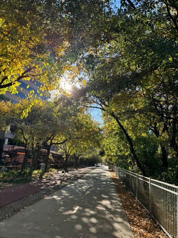
| Katy Trail north to south | 3.46 mi | -144 ft | -0.8% |
| 1st Half of 5 mile run | 2.21 mi | -105 ft | -0.9% |
| Katy Trail - Downhill 2 Mile | 2.02 mi | -95 ft | -0.9% |
| Katy Downhill 5k | 3.08 mi | -131 ft | -0.8% |
| Katy Trail [Harvard to Knox on Running Path] (South) | 0.33 mi | -13 ft | -0.7% |
| Katy Trail from Knox to Maple | 2.06 mi | -98 ft | -0.7% |
| ARMSTRONG TO ICEHOUSE UPTOWN KENYAN. | 1.72 mi | -75 ft | -0.8% |
| Contractor Connection | 1.06 mi | -46 ft | -0.6% |
| LOOKOUT TO LOOKOUT. | 0.85 mi | -39 ft | -0.5% |
| Carlisle to Ice House | 0.55 mi | -26 ft | -0.5% |
| Somewhere over the Uptown Rainbow. | 0.08 mi | -20 ft | -0.6% |
| KATY'S FINAL SPRINT | 0.24 mi | -13 ft | -1.1% |
| AA to Cedar Springs | 1.01 mi | 43 ft | 0.6% |
| Katy Trail Long Loop | 1.44 mi | 56 ft | 0.7% |
| Katy Trail south to north | 3.46 mi | 144 ft | 0.8% |
| 0.0 to Ice House | 0.67 mi | 36 ft | 0.5% |
| Katy Trail Uphill | 1.21 mi | 43 ft | 0.6% |
| First Part Katy Trail | 0.34 mi | 20 ft | 0.8% |
| Katy Trail from Maple to Knox | 2.10 mi | 95 ft | 0.7% |
| Ice House to Airline | 2.72 mi | 148 ft | 0.2% |
| 2nd half of 5 mile run | 2.19 mi | 105 ft | 0.9% |
| Katy Trail - Hall to Airline | 2.14 mi | 89 ft | 0.8% |
| Katy Trail - Carlisle to Knox | 0.78 mi | 43 ft | 1.0% |
| Katy Trail - Carlisle to Knox | 1.28 mi | 72 ft | 0.9% |
| Katy Trail - Lemmon to Knox | 1.24 mi | 79 ft | 1.1% |
| Katy Trail North End - Knox to Airline | 0.79 mi | 30 ft | 0.7% |


