| Mission to Palomares | 1.91 mi | 59 ft | 0.6% |
| Palomares 1/2 way up from Niles. | 2.30 mi | 656 ft | 5.4% |
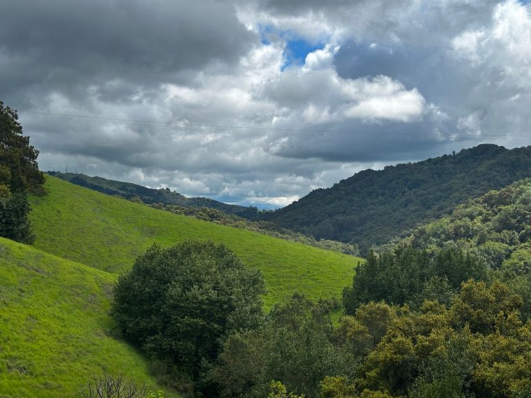
| Palomares Road from Niles Canyon (Low-Key Hillclimbs) | 4.52 mi | 1,060 ft | 4.4% |
| Palomares Rd Climb | 0.93 mi | 289 ft | 5.8% |
| Palomares Rd Climb [Northbound] - Middle Snippet | 0.59 mi | 325 ft | 10.2% |
| Palomares Road Climb | 0.65 mi | 394 ft | 11.4% |
| Palomares Rd Descent [Northbound] - Steep Start | 1.16 mi | -502 ft | -8.2% |
| Palomares Rd Descent [Northbound] - Start Below Summit | 4.84 mi | -771 ft | -3.0% |
| Hill of Hate 2 | 0.47 mi | 154 ft | 6.2% |
| Golf Course to Pinehurst | 7.63 mi | 669 ft | 0.6% |
| Redwood climb to Marciel | 2.47 mi | 591 ft | 4.4% |
| Little Pinehurst [from Redwood Rd.] | 1.20 mi | 305 ft | 4.8% |
| Pinehurst descent | 1.29 mi | -305 ft | -4.5% |
| Canyon Rd Climb out | 0.20 mi | 66 ft | 6.1% |
| Northgate to Summit from Castle Rock | 12.34 mi | 3,550 ft | 5.4% |
| NG 1st Mile | 1.02 mi | 102 ft | 1.9% |
| Diablo :: North Gate to Junction | 6.48 mi | 1,827 ft | 5.3% |
| Northgate Long Repeats (after dip before boundary to Diablo Ranch) | 3.40 mi | 1,083 ft | 6.0% |
| 5 Min Int from NG Mt. D Sign | 1.01 mi | 325 ft | 5.8% |
| Ride (Climb) The Snake | 0.83 mi | 253 ft | 5.7% |
| Northgate Steeps, turn to 1000 ft | 0.20 mi | 95 ft | 8.9% |
| North Gate - The Wall | 0.36 mi | 174 ft | 9.1% |
| North Gate Road from Buckeye to Junction | 3.28 mi | 1,033 ft | 6.0% |
| 2000 ft sign to Junction | 0.47 mi | 171 ft | 6.8% |
| Diablo Junction to Summit | 4.39 mi | 1,667 ft | 7.2% |
| Diablo Junction to Juniper Campground | 2.28 mi | 768 ft | 6.4% |
| Д Mt. Diablo Summit Road: Juniper to Summit | 2.16 mi | 866 ft | 7.6% |
| Juniper Camp to Devil's Elbow | 0.80 mi | 348 ft | 8.2% |
| Devil's Elbow - Surprise Attack! | 0.16 mi | 62 ft | 7.4% |
| Mt Diablo - Devil's Elbow to Summit | 0.91 mi | 351 ft | 7.3% |
| The Wall | 0.12 mi | 105 ft | 16.3% |
| Mt Diablo Descent - Summit to S Gate | 10.09 mi | -3,074 ft | -5.8% |
| Diablo - Summit to Junction | 4.26 mi | -1,486 ft | -6.6% |
| Mt Diablo Descent - Junction to S Gate | 5.67 mi | -1,421 ft | -4.7% |
| Diablo Pay Station to South Gate descent | 2.59 mi | -758 ft | -5.5% |
| Give 'er | 0.13 mi | 52 ft | 7.1% |
| Foothill Rd [Southbound] - Foothill High School Climb | 0.20 mi | 30 ft | 2.7% |
| Bernal to Castlewood sprint | 1.53 mi | -43 ft | -0.4% |
| Castlewood to Verona Bridge | 2.32 mi | -62 ft | -0.5% |
| Eden Bicycles Foothill-Sunol Sprint | 2.71 mi | 92 ft | 0.3% |
| first segment sunol climb | 0.30 mi | 59 ft | 3.6% |
| Sunol Climb | 0.65 mi | 82 ft | 2.4% |
| Paloma Way Sprint | 0.75 mi | 26 ft | 0.3% |
| Calavaras 680 to Geary TT | 4.06 mi | 135 ft | 0.5% |
| Full Length TT Parking lot to End | 13.24 mi | 866 ft | 1.2% |
| Calaveras TT - Hill Start to Turn Around | 1.10 mi | 226 ft | 3.9% |
| Calaveras, south to summit | 2.67 mi | 554 ft | 3.9% |
| Calaveras mid | 1.34 mi | 282 ft | 4.0% |
| Calaveras Southbound, KOM to County Line | 2.23 mi | 131 ft | 0.2% |
| Calaveras Rollers | 6.34 mi | 318 ft | 0.6% |