| to the station!! | 0.30 英里 | -13 呎 | -0.0% |
| A505 to Kneesworth | 1.26 英里 | -85 呎 | -1.3% |
| Cock a' Hoops | 0.59 英里 | 16 呎 | 0.1% |
| Bassingbourn to Shingay | 2.62 英里 | -13 呎 | -0.1% |
| Reverse AbPig Flyer | 1.20 英里 | 16 呎 | 0.1% |
| Shingay Shenanigans | 2.38 英里 | 56 呎 | 0.4% |
| Out of Ashwell, the uphill climb | 0.27 英里 | 49 呎 | 2.9% |
| Escape from Ashwell | 0.88 英里 | 161 呎 | 3.1% |
| Ashwell - Baldock via Bygrave | 4.14 英里 | 135 呎 | 0.0% |
| Claybush Road | 0.44 英里 | 105 呎 | 4.4% |
| Ashwell to North Road | 4.02 英里 | -138 呎 | -0.0% |
| Claybush Dash | 0.89 英里 | -135 呎 | -2.7% |
| Cat Ditch to Bygrave | 0.87 英里 | 115 呎 | 2.3% |
| Bygrave Blast | 1.35 英里 | -95 呎 | -1.3% |
| Bygrave Bumper | 0.37 英里 | 43 呎 | 1.6% |
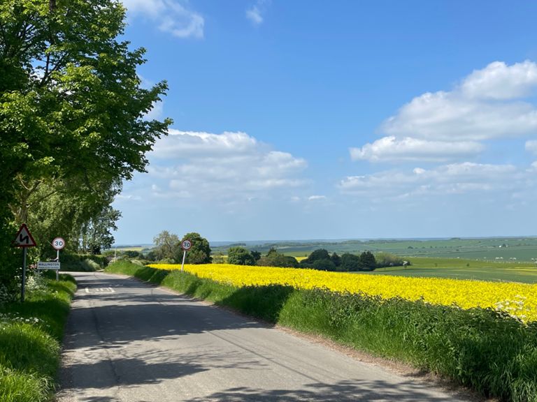
| Wallington Road Climb | 0.65 英里 | 59 呎 | 1.7% |
| wallington rd long | 2.50 英里 | 177 呎 | 0.6% |
| Wallington Road | 1.52 英里 | 157 呎 | 1.9% |
| The lonely tree | 1.88 英里 | 180 呎 | 1.7% |
| wallington | 1.21 英里 | 98 呎 | 0.0% |
| Wallington Down | 0.32 英里 | -79 呎 | -4.6% |
| Sandon Hill Climb to 40 sign | 0.45 英里 | 95 呎 | 4.0% |
| Sandon Heights | 1.95 英里 | 141 呎 | 1.3% |
| Sandon to Rooks | 1.69 英里 | -131 呎 | -1.4% |
| Rooks Nest Lane Drag | 1.51 英里 | 121 呎 | 1.5% |
| Therfield to Heath Car Park (Down) | 1.63 英里 | -272 呎 | -3.1% |
| Therfield Hill (Down) | 1.74 英里 | -299 呎 | -3.2% |
| Where I passed Darren | 0.82 英里 | -98 呎 | -2.2% |
| Greys to CarPark | 0.39 英里 | -135 呎 | -6.4% |
| Royston Dive | 0.33 英里 | -154 呎 | -8.9% |
| Therfield Hill to Ivy Lane | 0.51 英里 | 16 呎 | 0.1% |
| Baldock Rd Blast | 1.11 英里 | -43 呎 | -0.3% |