| Hall Road - North | 1.34 km | 24 m | 0.7% |
| Single Track to Timmy's Place | 0.95 km | -32 m | -3.3% |
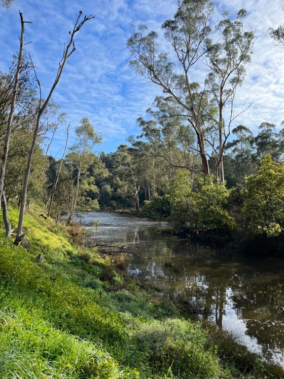
| Jumping creek Downhill | 1.38 km | -42 m | -2.9% |
| Sprint to the Roundabout Cafe | 0.80 km | -10 m | -1.0% |
| kangaroo ground warrandyte rd | 1.96 km | 97 m | 4.9% |
| Welcome to the GreenWEDGE - where the gods ride | 0.11 km | 2 m | 1.5% |
| Warrandyte Kilo Burst | 1.04 km | 44 m | 4.2% |
| Warrandyte - Kangaroo Ground | 5.50 km | 168 m | 3.1% |
| Marbert Kick | 0.23 km | 14 m | 6.2% |
| PigeonBankLane 2 PigeonBankHouse | 2.96 km | 78 m | 2.6% |
| Kangaroo Ground-Warrandyte Road Climb | 0.36 km | 101 m | 27.7% |
| KOM2: Warrandyte TT | 0.76 km | 35 m | 4.6% |
| Killer view | 0.27 km | 27 m | 9.7% |
| Last KG Descent | 0.44 km | -27 m | -6.0% |
| The KG Store Climb | 0.42 km | 23 m | 4.1% |
| Garden Hill -Dawsons | 1.97 km | -90 m | -4.4% |
| Watsons Whizzer | 0.85 km | -8 m | -0.0% |
| Watsons Creek → Clintons | 3.61 km | 46 m | 1.3% |
| Clintons Rd | 4.87 km | 131 m | 1.9% |
| Clintons Rd climb | 2.19 km | 123 m | 5.6% |
| Alice's "It's a Bitch" segment | 0.89 km | 42 m | 4.7% |
| Clintons Rd Rollercoaster | 2.58 km | -43 m | -1.3% |
| Pump that Gas Zone | 0.42 km | -18 m | -2.6% |
| A Boy Name Sue Hill Bomb | 1.40 km | -77 m | -5.5% |
| St Andrews Sprint | 0.37 km | 6 m | 1.7% |
| School and Hildebrand Road Combo | 6.72 km | 111 m | 0.5% |
| School Road climb out of St Andrews | 1.25 km | 84 m | 6.4% |
| School Road (unpaved) | 2.05 km | 105 m | 5.1% |
| Schooled from Boundary to Hildebrand | 1.41 km | 57 m | 3.5% |
| I never liked school | 0.10 km | 18 m | 17.8% |
| Hildebrand back | 4.15 km | -73 m | -1.3% |
| Hildebrand westward 1 | 3.00 km | -62 m | -2.0% |
| SG Cottles Bridge Rd TT | 2.42 km | -92 m | -3.8% |
| Flat Rock Rd long version | 4.60 km | 117 m | 2.4% |
| flat rock rd | 1.34 km | 86 m | 6.4% |
| Flat Rock - 3 Ramps | 2.01 km | 106 m | 5.1% |
| Welcome to Flat Rock Rd!! | 0.48 km | 43 m | 9.0% |
| Flat Rock (Final Ramp) | 0.33 km | 37 m | 11.2% |
| Peak Cycles Kangaroo Hop | 0.64 km | 20 m | 2.7% |
| Kangaroo Ground Hop Extended Version | 1.13 km | 28 m | 2.0% |
| Peak Cycles - CFA Hill | 0.21 km | 20 m | 9.2% |
| Mid kanga climb official | 0.35 km | 14 m | 4.0% |
| 3097 Full Gas | 0.27 km | 9 m | 2.4% |
| The KG Store Straight | 0.77 km | -25 m | -1.6% |
| Climb to Pigeon Bank | 0.49 km | 32 m | 6.6% |
| Kangaroo Ground Warrandyte descent | 5.34 km | -151 m | -2.8% |
| Pigeon Bank to Pigeon Bank Creek Lane | 2.84 km | -64 m | -2.3% |
| kg to roundabout | 2.31 km | -90 m | -3.1% |
| Going South of the River | 0.18 km | -4 m | -1.2% |
| Warrendyte Bridge to Wdyte South Shell | 3.43 km | 57 m | 1.3% |