| get there... | 0.55 km | -9 m | -1.7% |
| Up past the park | 0.67 km | 14 m | 0.6% |
| St Leonards station to Epping rd | 2.35 km | 20 m | 0.7% |
| last 1 Km climb to Epping road - pacific hwy North | 0.95 km | 12 m | 1.2% |
| pizza! | 0.51 km | 6 m | 1.2% |
| Paclong to Mona Vale Rd | 8.20 km | 35 m | 0.2% |
| Railway Rd to Roseville Stn - Pac Hwy | 1.05 km | 12 m | 0.3% |
| Roseville Climb | 0.30 km | 12 m | 3.3% |
| Roseville Stn to Lindfield Stn - Pac Hwy | 1.46 km | -15 m | -0.7% |
| Lindfield to Gordon | 2.56 km | 34 m | 1.3% |
| Killara Stn to Gordon Stn - Pac Hwy | 1.25 km | 11 m | 0.3% |
| Pymble Hill | 1.29 km | 47 m | 3.6% |
| Pymble Hill Short | 0.57 km | 27 m | 4.8% |
| Pymble Hill - Railway bridge to The Summit | 0.46 km | 21 m | 4.3% |
| The Bluegum Relief | 1.14 km | -25 m | -0.7% |
| Waitara Lights to Lights | 0.66 km | -22 m | -2.7% |
| Hornsby Sprint | 0.31 km | -11 m | -0.9% |
| Post Office to Fire Station | 0.52 km | 5 m | 0.9% |
| Old Berowra Rd Climb | 1.00 km | 8 m | 0.8% |
| Galston Road Sprint | 2.28 km | -17 m | -0.5% |
| Rofe Park Bus Stop to Shops Sprint | 0.49 km | -8 m | -1.1% |
| Galston West | 3.05 km | 180 m | 5.9% |
| Galston Gorge West Climb | 2.37 km | 140 m | 5.9% |
| Glaston Road Climb | 1.26 km | 77 m | 6.1% |
| Galston top half | 1.73 km | 102 m | 5.9% |
| Cattai Ridge rd to Canoelands rd | 14.39 km | 59 m | 0.3% |
| Glenorie to Forest Glen | 6.75 km | 48 m | 0.5% |
| Maroota Bump | 0.52 km | 34 m | 6.4% |
| River Rd to Sackville Ferry Rd Climb | 3.21 km | 107 m | 3.2% |
| Halcrows Rd | 6.92 km | 80 m | 1.2% |
| cat dog meeooofff | 6.16 km | 29 m | 0.4% |
| Wyldsberg - Just the steep part | 0.29 km | 33 m | 9.1% |
| Galston Village - Pacific Hwy lights | 10.19 km | -180 m | -0.1% |
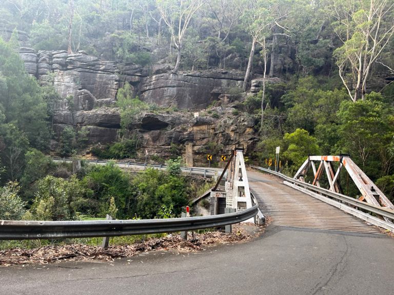
| Galston Gorge West descent | 2.96 km | -168 m | -5.7% |
| Galston East Asent | 2.10 km | 119 m | 5.1% |
| Galston Gorge (East Side) | 3.03 km | 158 m | 5.2% |
| Galston East Last Km | 0.93 km | 47 m | 5.1% |
| Margaret Avenue Climb | 0.45 km | 20 m | 4.1% |
| Galston Road TT (south) | 2.25 km | 18 m | 0.5% |
| Boom! | 5.06 km | -91 m | -1.8% |
| Bobbo back | 10.53 km | -105 m | -0.9% |
| Pymble - Big dipper | 1.09 km | -43 m | -3.9% |
| Pacific Hy - Mona Vale Rd to Stanhope Rd | 2.55 km | 17 m | 0.4% |
| Mona Vale to Roseville | 4.68 km | -32 m | -0.0% |
| Avoid the Alcohol | 0.56 km | 6 m | 0.1% |
| twerk | 6.31 km | -33 m | -0.5% |
| Lindfield Climb | 0.54 km | 7 m | 1.2% |
| PacHighway: Mowbray to Freeway | 0.78 km | -7 m | -0.7% |
| Gore Hill Sprint | 0.72 km | -18 m | -2.5% |
| St Leonard's Slog | 0.33 km | -6 m | -0.2% |


