Strava
Mobile
Features
Subscribe
Maps
Stories
Sign Up
Log In
Past Two Weeks
Past Month
+ 81
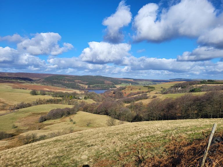
Our Cow Molly Loop
Cycling Route
Save
Share
Embed
Copy URL
Export TCX
Export GPX
Print
Details
42.61 km
941 m
Our ringinglow, via Stanage and Ladybower
Created By
Matthew D
September 10, 2014
·
Public
Route and Elevation
Segments
Name
Distance
Elev. Diff.
Avg. Grade
Psalter lane roundabout to start of descent.
1.27 km
40 m
3.2%
Psalter climb
0.64 km
24 m
3.6%
Psalter out
0.32 km
10 m
0.4%
Junction to prince of wales
0.42 km
23 m
5.4%
Nice PoW to Les Dennis
11.69 km
257 m
1.3%
Knowle Lane to Common Lane
1.43 km
46 m
3.2%
Knowle Lane to top of Ringinglow
5.38 km
220 m
4.1%
Bents Rd to top of Ringinglow
6.57 km
200 m
3.0%
Pothole Alley to Round House
1.86 km
83 m
4.4%
Ringinglow Road
3.36 km
160 m
4.7%
Ringinglow Rd Climb
1.33 km
81 m
6.1%
Ringinglow to top of Stanage
3.62 km
85 m
2.3%
RINGINGLOW RD Climb (Fulwood Ln/Norfolk Arms - Derbyshire Sign)
1.72 km
81 m
4.7%
Ringinglow Rd (Fulwood Ln to top of Lady Cannings)
1.18 km
71 m
6.0%
Sprint to Derbyshire sign
0.09 km
0 m
0.1%
Burbage Cattle Grid to Dennis Knoll (Stanage) Cattle Grid
5.65 km
-148 m
-1.7%
Ringinlow Top (Cattlegrid to Dale Junction)
1.62 km
27 m
0.3%
Crazy corner
0.81 km
32 m
1.6%
The Dale Drop (short)
0.83 km
-54 m
-6.5%
Stanage to Bamford
5.69 km
-149 m
-2.6%
Stabbage Edge Run
1.59 km
46 m
0.9%
need 4 speed
0.40 km
20 m
0.7%
Gatehouse 2 climbs
1.03 km
35 m
1.1%
Safe Descent!
2.07 km
-108 m
-5.2%
Clough Punch
0.28 km
15 m
4.9%
Bamford Descent
1.44 km
-103 m
-7.1%
Moscar Cross Rd Climb
4.04 km
138 m
3.4%
Inn to Cutthroat
1.31 km
52 m
4.0%
A57 to Sugworth
0.76 km
24 m
3.1%
Sugworth Road Sprint
0.45 km
7 m
1.0%
Race to Boots Folley
1.65 km
15 m
0.1%
Sugworth - Blindside
2.52 km
-54 m
-1.5%
Sugworth - Dungworth Tekkers
7.28 km
-139 m
-1.8%
Smiler
2.53 km
-48 m
-1.5%
sugworth sprint
0.51 km
-22 m
-4.4%
Fast Fast Fast
2.80 km
-80 m
-2.9%
Lift-off
0.30 km
-6 m
-1.5%
Sugworth Road
0.82 km
10 m
0.2%
Fast left and attack the hill
0.77 km
-7 m
-0.1%
Wet Shaw Lane
0.61 km
-35 m
-5.7%
Corker Reverse
0.69 km
29 m
4.2%
Cliffe Hill Climb
0.55 km
19 m
3.5%
Brookside Bank Descent
0.64 km
-40 m
-6.1%
Brookside to the green bin
0.68 km
-15 m
-0.0%
Chase the cars!
0.45 km
6 m
1.0%
Stopes Road
0.69 km
31 m
4.4%
A57 Rivelin to Sportsman
2.65 km
68 m
2.6%
sprint up manchester road
0.87 km
11 m
0.3%
Downhill to Broomhill
1.10 km
-60 m
-5.4%
Summerfield Street Climb
0.25 km
10 m
4.0%