Strava Stories


Run
All Stories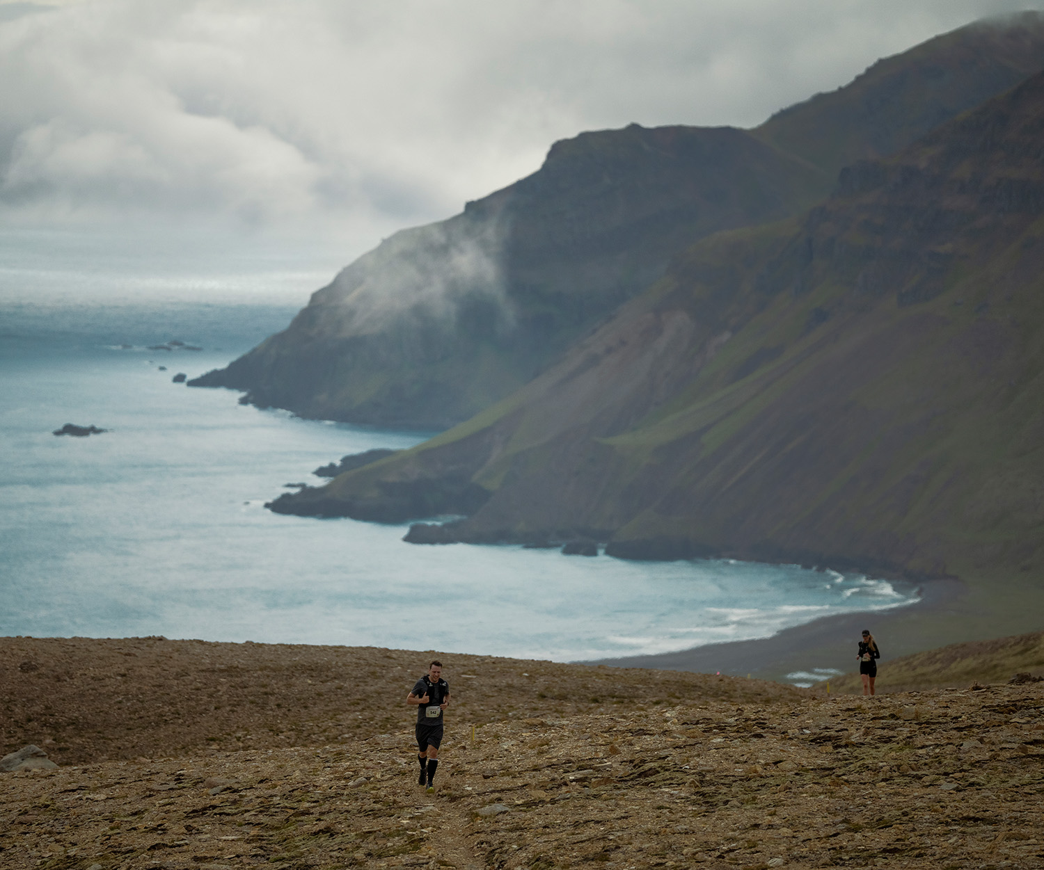

Trail Running
Running Among Giants: Exploring Iceland’s Trail Running Scene
Discover why Iceland stands out as a premier destination for trail running enthusiasts seeking unparalleled challenges, rich culture, and natural beauty.
Run
How San Francisco’s Running Scene Is Reaching New Heights
Discover why San Francisco is hailed as America's top running city and meet the pioneering run clubs and iconic race reshaping its vibrant scene.

Multi-Sport
Mindfulness: The Secret to Becoming a Better, Happier Athlete
When it comes to being a more mindful athlete, there are a few simple strategies that could bring more presence to your training—and life.
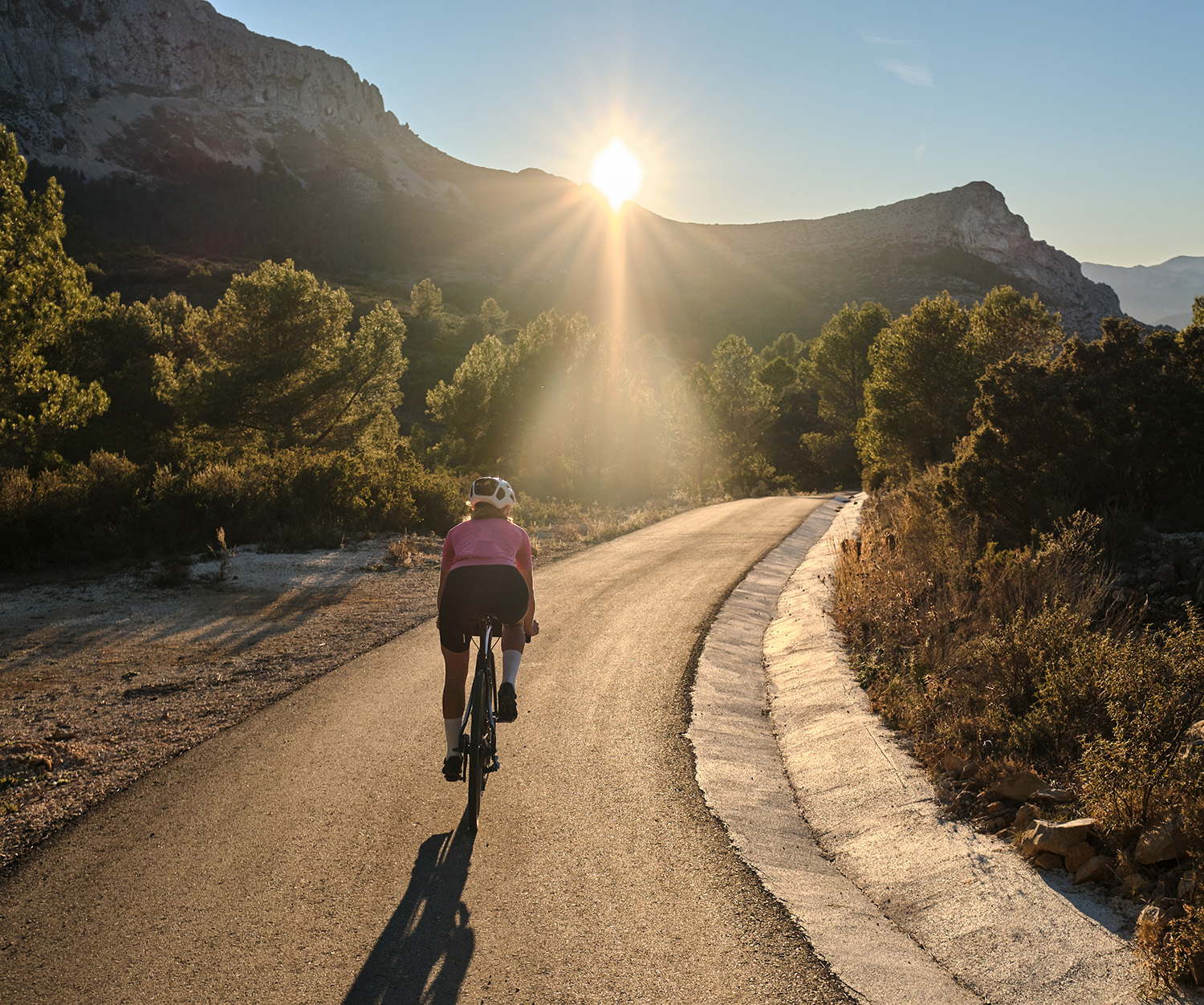
Ride
All Stories

Multi-Sport
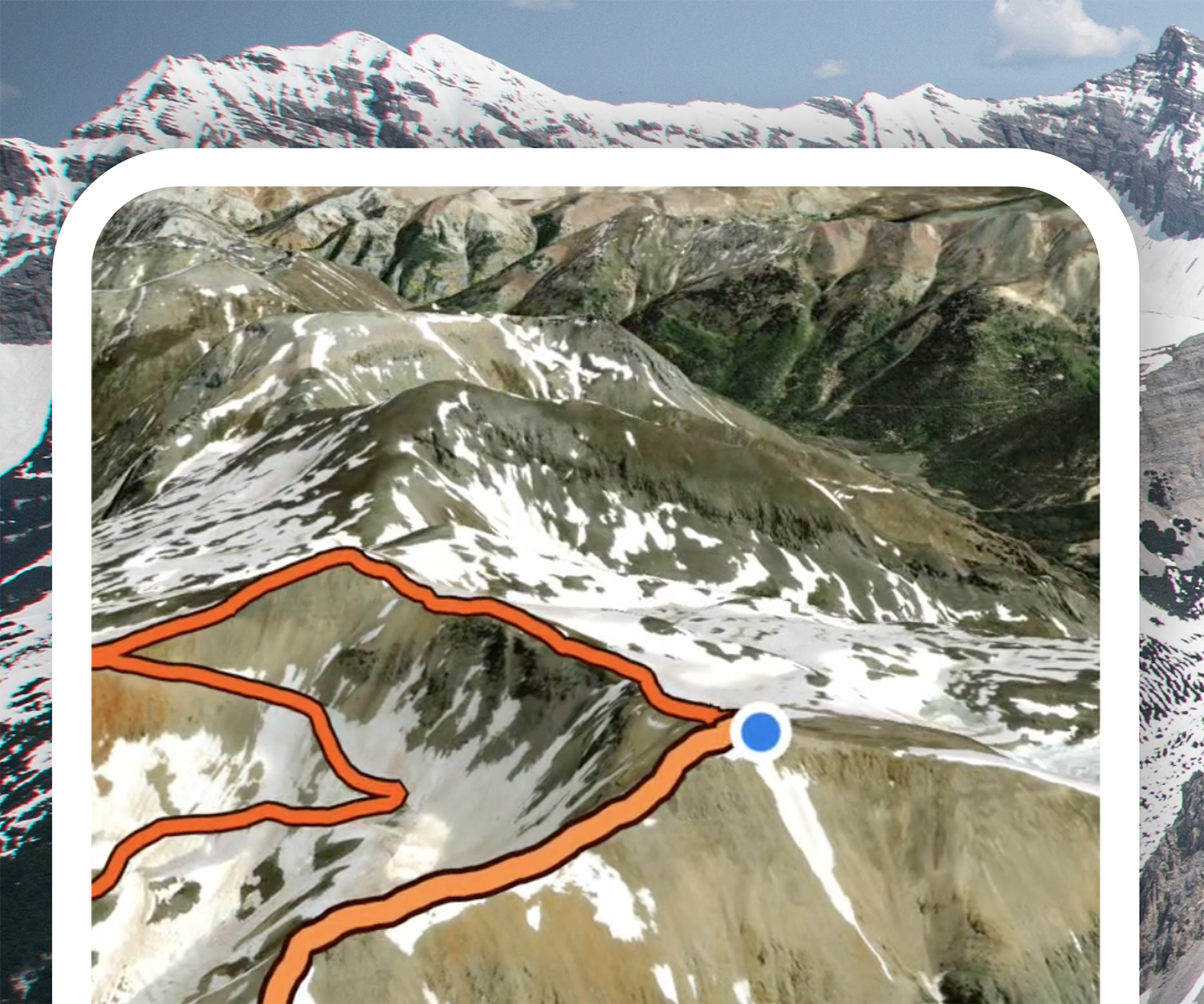
Strava Segments With The Most Efforts: How Many Have You Completed?
Which are the most popular Strava segments in the world? Our experts have analyzed the stats, crunched the numbers, and come up with a list of some of the segments most completed by athletes in different distance categories.

Ride
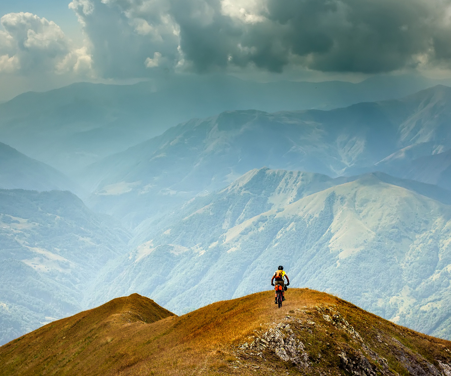
Adventures of a Lifetime: The World’s Most Challenging Off-Road Bikepacking Races
The number of grueling multi-day off-road races has skyrocketed in recent years. We highlight some of the most adventurous, most challenging events in the world.
Ride
Build Back Stronger with a Cycling Overload Block
By subjecting yourself to a training load that your body is not used to, you will build back stronger and prepare better for your next event.
From Our Partners
All StoriesSTRAVA | Team Milk

Run
How Team Milk’s Every Woman’s Marathon Is Redefining the Race Experience
Every Woman’s Marathon, powered by Team Milk is not just a race. It's a supportive community where women of all abilities and speeds can come together to celebrate movement.
Paid Partnership
STRAVA | Brooks

Run
CJ Albertson: A 2:10 Pro Marathoner’s Unique Coaching Tips
Meet CJ Albertson – 2:10:07 pro marathoner for Brooks Running, dad of two, running coach extraordinaire, and master of the quirkiest marathon training methods.
Paid Partnership
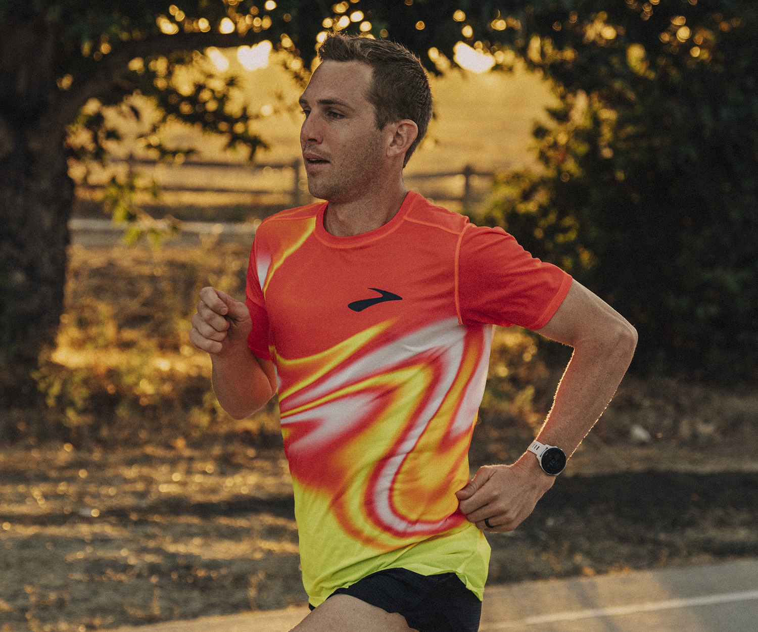
STRAVA | Brooks Running
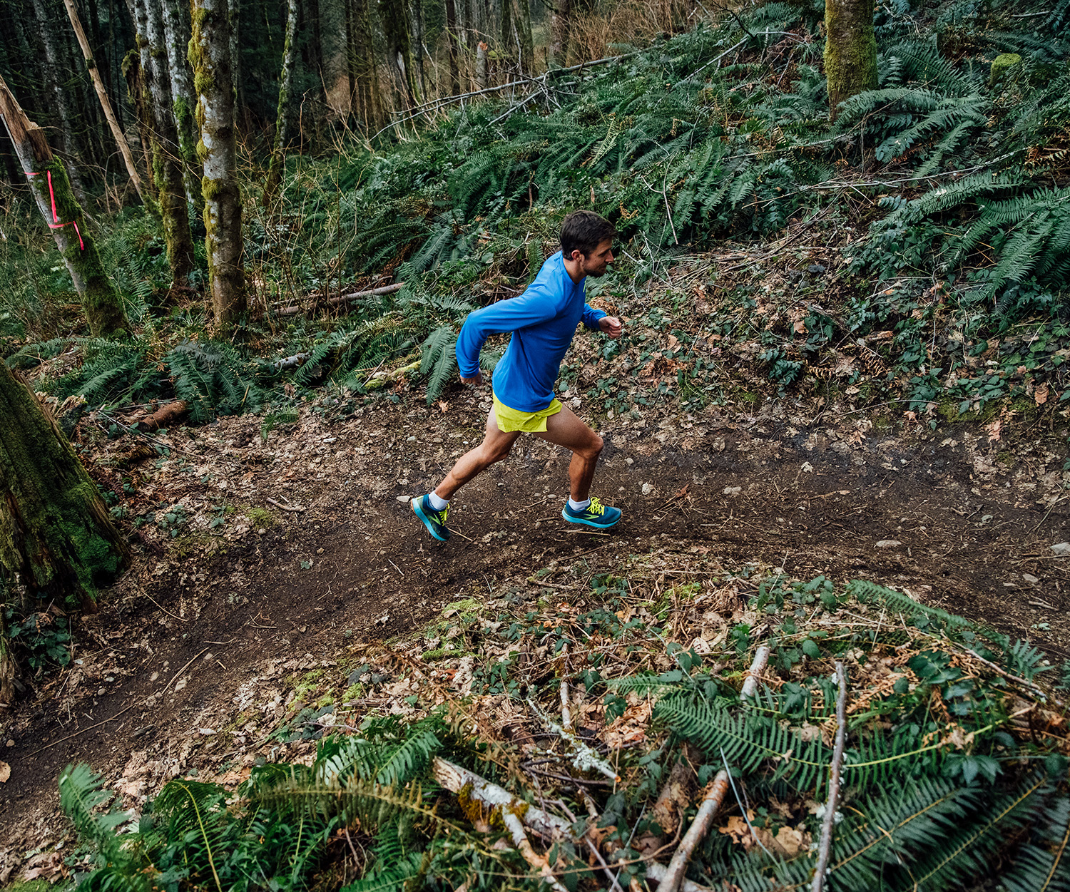
Trail Running
Expert Tips for Vert(ical) Training and Mastering Trail Running
Prepare yourself for the ups (and downs) of trail running by incorporating vert training, featuring tips from 3 Brooks Trail Runners including Hillary ‘Hillygoat’ Allen.
Paid Partnership
Training
All Stories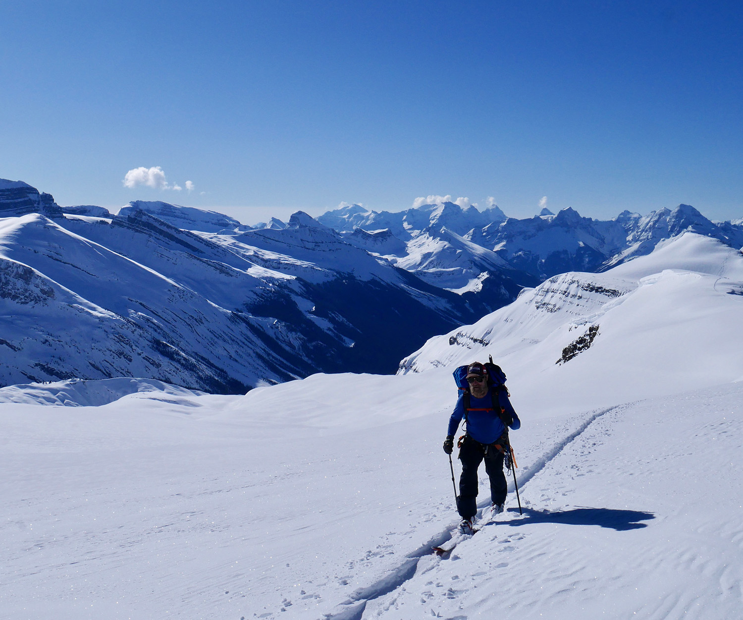

Skiing
How To Train for a Multi-Day Ski Traverse
With a huge ski trip beckoning, it was time to design a training program and get to work! Here’s how it went.


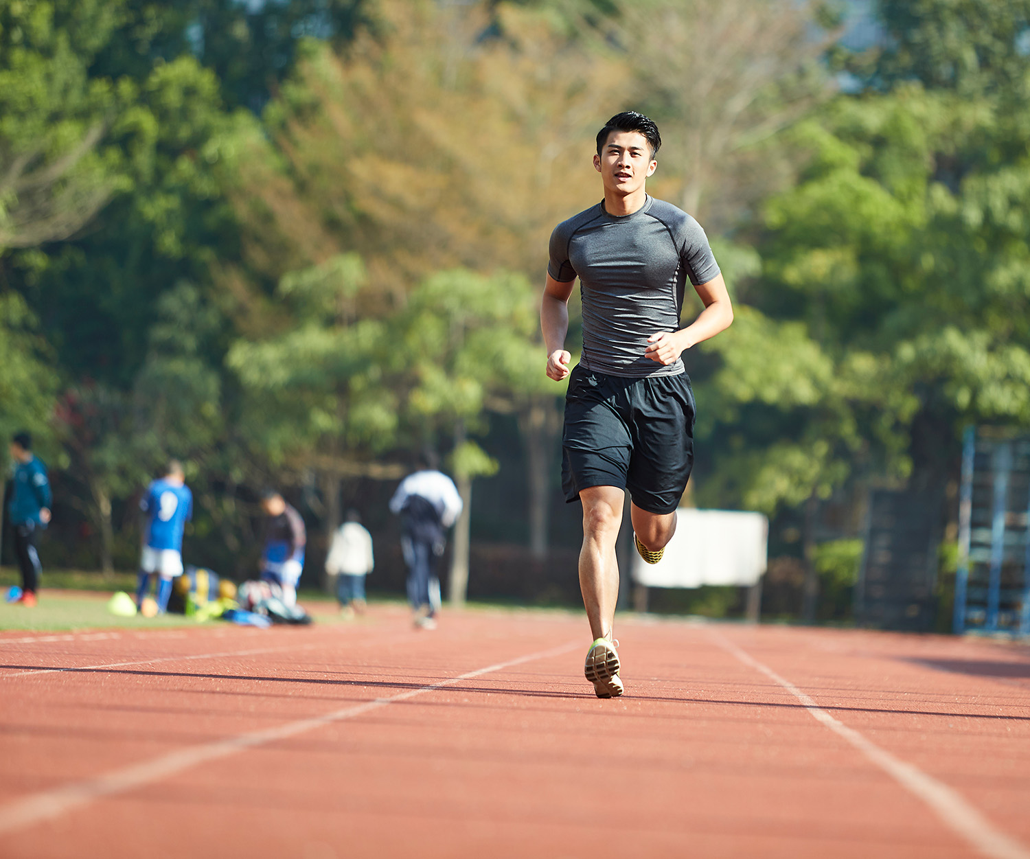
Run
How to Increase Your VO2 Max
VO2 max used to be a niche subject amongst core endurance athletes. However, given its relationship to performance, more and more athletes are looking learning about the subject.


Multi-Sport
How To Stay Fit While Traveling
Charlie shares a host of useful tools and tactics that you can use to stay in shape while traveling.
What's New
All Stories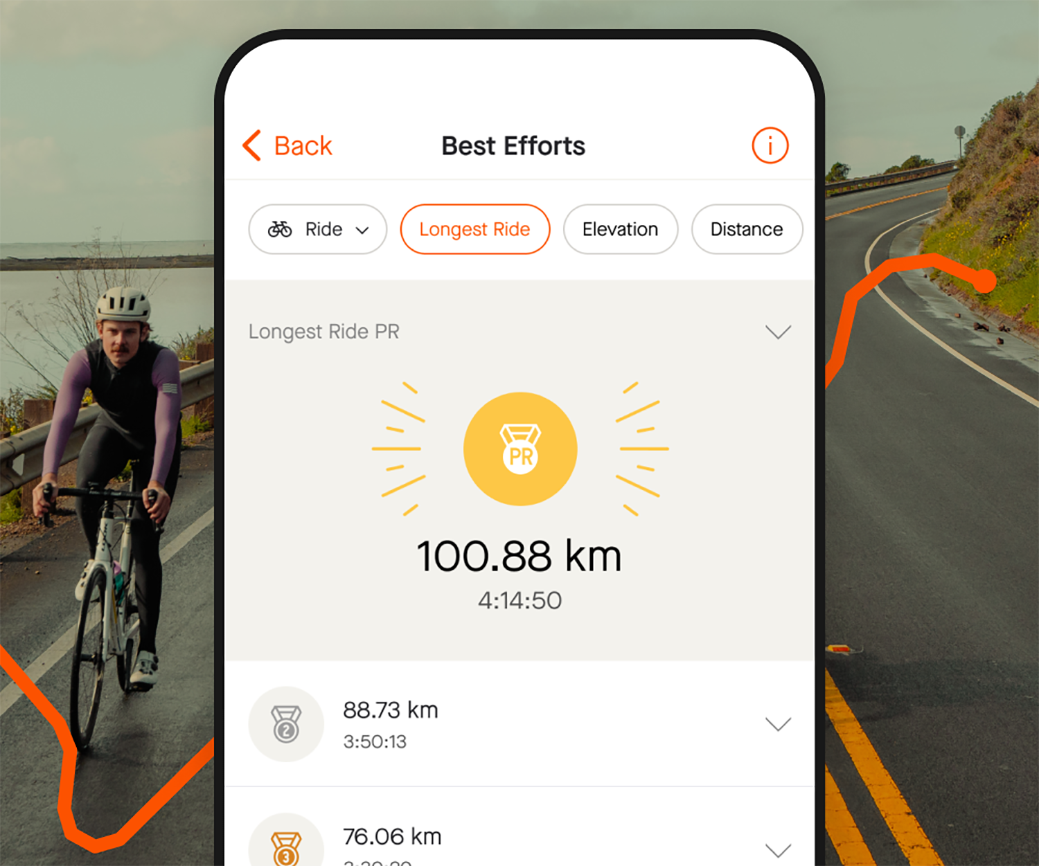

Ride
Just Launched for Cyclists: All-New Best Efforts Categories
77% of cyclists on Strava achieved a PR in 2023 – and 30% got one in the last month. Are you one of them?

Multi-Sport
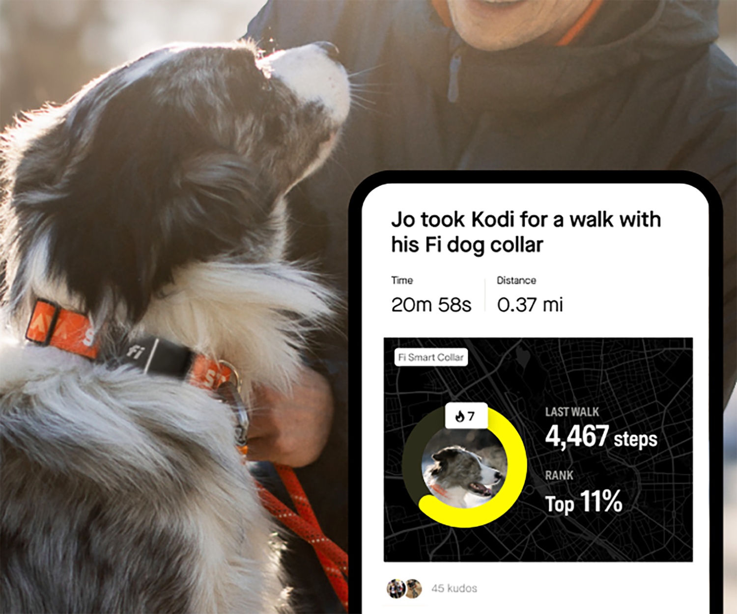
Calling all Dog Parents! 🐶
Strava and the Fi Collar are partnering to give you and your furry friend a fun way to stay motivated and moving.

Multi-Sport
Get a Bird’s-Eye View With Flyover
Capture every mile, every switchback, and every climb with Strava's all-new Flyover feature.
Latest Stories
STRAVA | Brooks Running
Trail Running
Expert Tips for Vert(ical) Training and Mastering Trail Running
Prepare yourself for the ups (and downs) of trail running by incorporating vert training, featuring tips from 3 Brooks Trail Runners including Hillary ‘Hillygoat’ Allen.
Paid Partnership
Triathlon
How to Get Started in Triathlon
Always wanted to give triathlon a go but not sure where to start? We’re here to help the tri-curious take the first step.
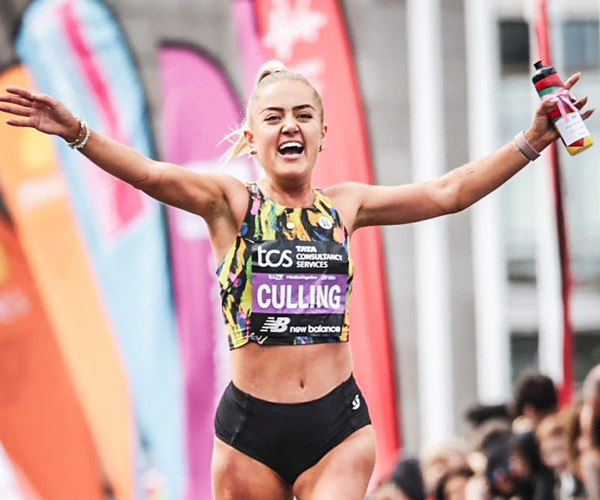
Run
Anya Culling: Running with the London Marathon Elite Field
In 2024, Anya Culling lined up as one of just sixteen Elite Women in the London Marathon. Here, she reflects on her experiences at the London Marathon, and how it felt racing with the best runners in the world.
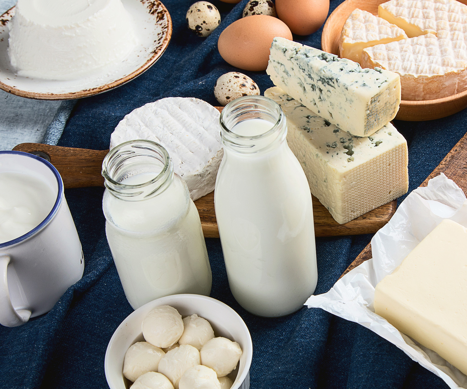
Multi-Sport
The ABC of Sports Nutrition: Dairy, Eggs, Flaxseed
Sports nutrition can be a minefield of information and, let's be honest, misinformation. As part of her ABC series shining a light on foods that can help with your performance and recovery.


Multi-Sport
Spotted on Strava: Grand Tours, Epic Runs... and a Donkey
From the start of one Grand Tour to the finish of another, by way of a running year with a twist, and a donkey, there was plenty to watch out for on Strava this week.
Run
How San Francisco’s Running Scene Is Reaching New Heights
Discover why San Francisco is hailed as America's top running city and meet the pioneering run clubs and iconic race reshaping its vibrant scene.
Skiing
How To Train for a Multi-Day Ski Traverse
With a huge ski trip beckoning, it was time to design a training program and get to work! Here’s how it went.
Ride
Build Back Stronger with a Cycling Overload Block
By subjecting yourself to a training load that your body is not used to, you will build back stronger and prepare better for your next event.

Multi-Sport
Are You Intrinsically or Extrinsically Motivated?
When it comes to endurance sports, the easy part is signing up for races. The hard part is training, come rain or shine. But when it comes to motivation, where can you find it?
STRAVA | Westin Hotels


Multi-Sport
Be a Traveler and a Runner with Westin Hotels’ 7 Scenic Routes
Traveling often disrupts our routines, especially when it comes to staying active. To help combat that, we’ve teamed up with Westin Hotels & Resorts to unlock a global collection of locally-curated active routes.
Paid Partnership
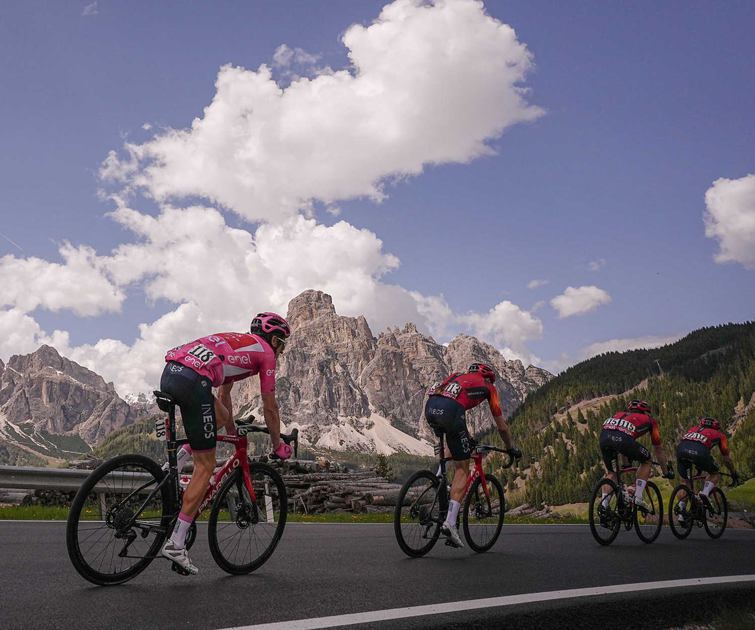

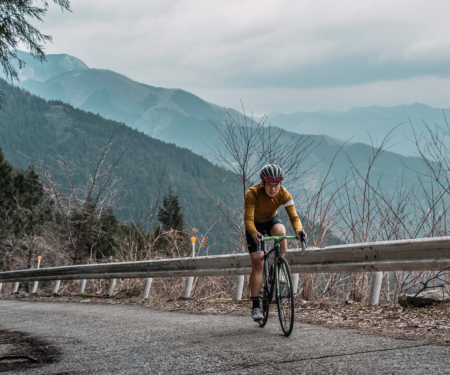
Ride
Climbs to Watch at the 2024 Giro d’Italia
For beautiful scenery and superlative racing, there’s plenty to look out for in this year’s Giro d’Italia. Max Leonard spotlights some of the segments where the race will be won - or lost.
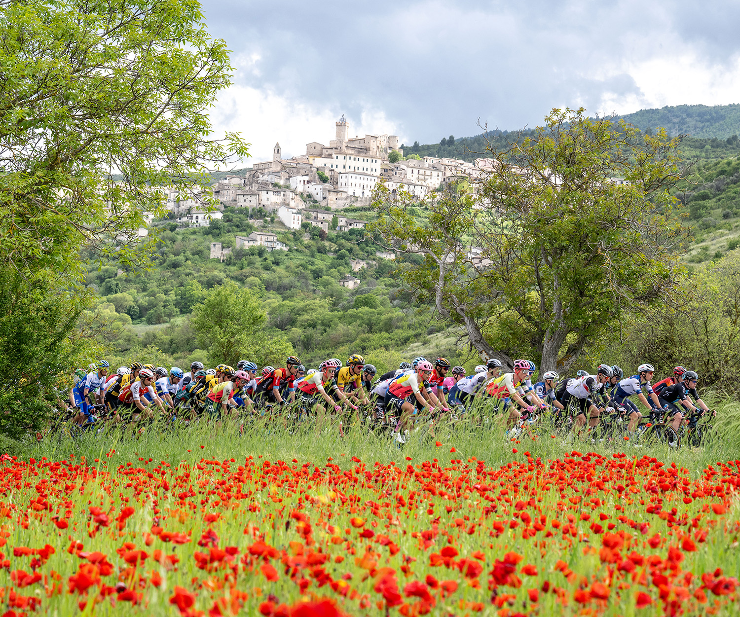

Ride
2024 Giro d’Italia Preview
The 2024 Giro d'Italia will test some of the world's best riders to their limits. The 21 stage race starts on Saturday May 4, finishing in Rome three weeks later.