
+ 22
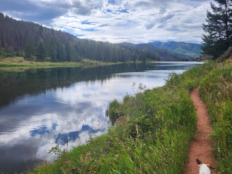
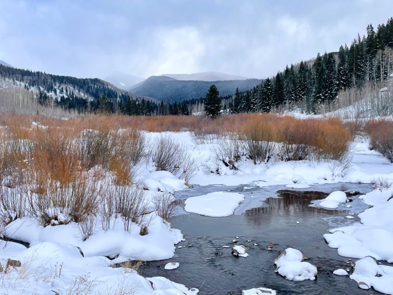
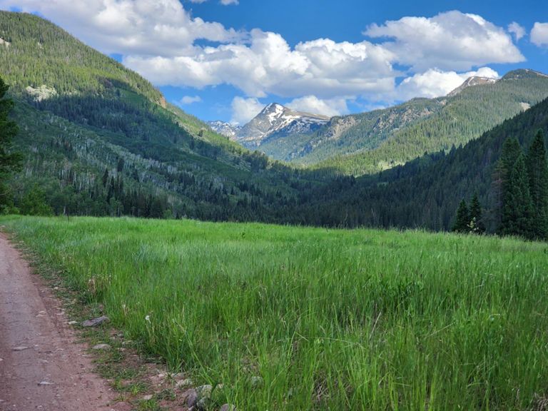
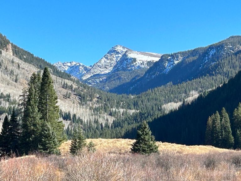
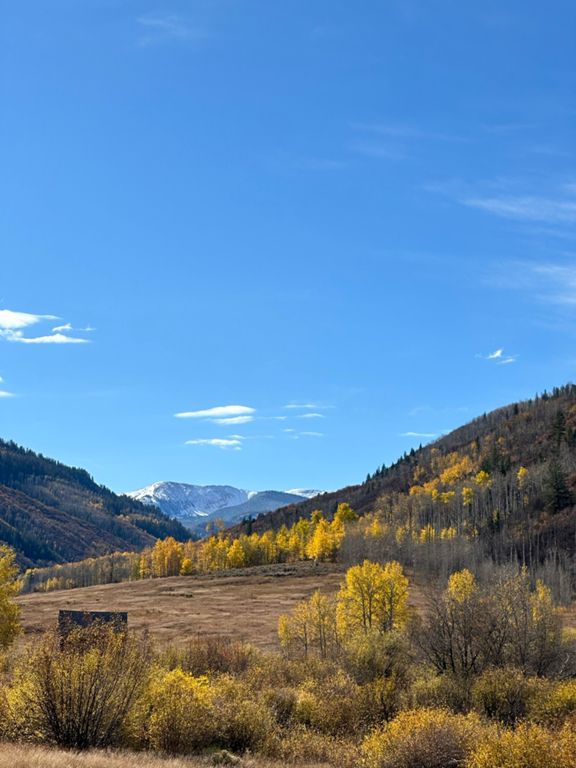
Brush Creek Loop
骑行路线
详情
43.65英里
4,623英尺
44mi, 4600ft
路线和海拔
路段
| 名字 | 距离 | 海拔高度差 | 平均坡度 |
|---|---|---|---|
| Ouzel-Brush Creek to Adam's Rib Up | 4.15英里 | 413英尺 | 1.9% |
| Sylvan Lake Road | 4.80英里 | 502英尺 | 1.9% |
| End Climbs to Dirt Y | 3.71英里 | 476英尺 | 2.4% |
| Horton Pkg to Lake | 2.92英里 | 646英尺 | 4.2% |
| Crooked Creek Pass from Horton Pkg | 8.36英里 | 2,096英尺 | 4.7% |
| Brush Creek Rd Climb | 1.34英里 | 443英尺 | 6.2% |
| Crooked Creek Pass from Lake | 5.28英里 | 1,417英尺 | 5.1% |
| Eagle Thomasville Rd Climb | 1.15英里 | 433英尺 | 7.1% |
| Eagle-Thomasville Road Climb | 1.00英里 | 292英尺 | 5.5% |
| Powerline Road Climb | 1.43英里 | 479英尺 | 6.3% |
| Crooked Creek Pass to Peter Estin Hut | 5.07英里 | 1,129英尺 | 4.2% |
| Crooked Creek Pass Road Climb | 2.25英里 | 702英尺 | 5.9% |
| Hat Creek Road Climb | 1.06英里 | 305英尺 | 5.4% |