Activities
Top Sports
Running
Cycling
Walking
Hiking
Running
Cycling
Features
Maps
Challenges
Subscription
Log In
Join for Free
Sign Up
Home
Activities
Running
Cycling
Walking
Hiking
Features
Maps
Challenges
Subscription
Support
Sign Up
Log In
Get the App
+ 111
Tempo crow and tak 2.9.17
Cycling Route
Save
Share
Moderate
55.0 mi
4,183 ft
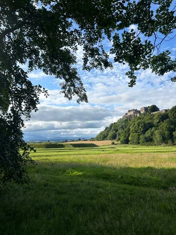
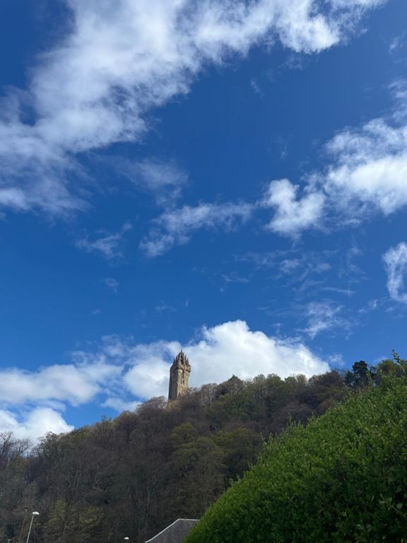
Crow and Tak 2.9.17
Created By
Stuart Leishman 🏴 🇪🇸
August 30, 2017
·
Public
Route and Elevation
Segments
Name
Distance
Elev. Diff.
Avg. Grade
Springkerse to Alloa Rd
1.13 mi
-20 ft
-0.3%
Airthrey Road Cycle Path
0.50 mi
13 ft
0.3%
BofA Roundabouts
0.70 mi
-13 ft
-0.4%
BofA to Keir
1.24 mi
154 ft
2.4%
Doon Tae Doune
1.24 mi
-226 ft
-3.5%
B826 Doune to Thornhill
2.91 mi
-105 ft
-0.2%
Gartincaber Climb
0.17 mi
39 ft
4.2%
Thornhill to Kippen Roundabout
3.30 mi
-102 ft
-0.6%
Can you handle the soup ? here have a yogurt
0.29 mi
3 ft
0.3%
Kippen R/A -Lennoxtown
15.55 mi
1,112 ft
0.2%
ToW climb
3.51 mi
568 ft
3.0%
Kippen Cross
0.60 mi
187 ft
5.9%
Kippen X to Top o' the World
2.37 mi
338 ft
2.7%
Kippen Postbox to Postbox
0.47 mi
75 ft
3.1%
Cauldhame climb
2.15 mi
220 ft
1.8%
Loch Laggan down
3.00 mi
-328 ft
-2.1%
B822 to Fintry
1.98 mi
-112 ft
-0.6%
All the way over the Crow Rd (southbound)
6.64 mi
-856 ft
-0.3%
GUCC Hill Climb
1.88 mi
554 ft
5.6%
Crow Road South - Bridge to Border
3.65 mi
781 ft
3.9%
Crow road south (fintry side)
3.35 mi
738 ft
4.2%
Over the border Crow Road
3.39 mi
751 ft
4.2%
The Dreaded Lurg
0.34 mi
151 ft
8.2%
Crow Rd Climb
1.52 mi
351 ft
4.3%
Catch the skinny bastards
1.78 mi
243 ft
2.6%
Border to death corner (but only if you get it wrong)
1.66 mi
-397 ft
-4.5%
Crow descent
2.75 mi
-807 ft
-5.5%
FastBlast
0.60 mi
-184 ft
-5.7%
Crow Car Park Speed Trap
0.45 mi
-272 ft
-11.3%
Crow Carpark Downhill
1.27 mi
-361 ft
-5.3%
cohones
0.27 mi
-105 ft
-7.2%
Lennoxtown to the top of the Tak
8.87 mi
922 ft
1.8%
Going for the chase
1.13 mi
-43 ft
-0.4%
a wee bit o' A803
4.10 mi
-89 ft
-0.1%
Milton of Campsie to Kilsyth
3.84 mi
39 ft
0.0%
Kilsyth 30s Sprint
0.22 mi
-13 ft
-1.0%
Talk half!
1.37 mi
446 ft
6.2%
Kilsyth to Stirling
10.08 mi
-915 ft
-0.1%
Bottom of Tak to Car Park
2.36 mi
761 ft
6.1%
RCCK Hill Climb
2.63 mi
856 ft
6.2%
The Tak Wall
0.11 mi
49 ft
8.7%
Doon the Tak to Carronbridge
1.69 mi
-430 ft
-4.8%
Tak Ma Right Doon Brian
0.63 mi
-200 ft
-6.0%
Down and Up
0.14 mi
-79 ft
-10.4%
sharp climb to the s bend
0.59 mi
108 ft
3.3%
New Line Rd Rollercoaster!
2.49 mi
-502 ft
-3.8%
Loch Coulter Sprint
0.52 mi
-69 ft
-2.5%
Past the new primeny school!
0.63 mi
30 ft
0.7%
Torbrex to Laurelhill Bus Park
0.45 mi
-33 ft
-1.2%
A811 sprint
0.20 mi
-30 ft
-2.5%