


+ 64
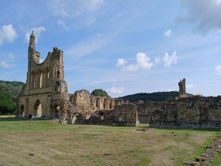
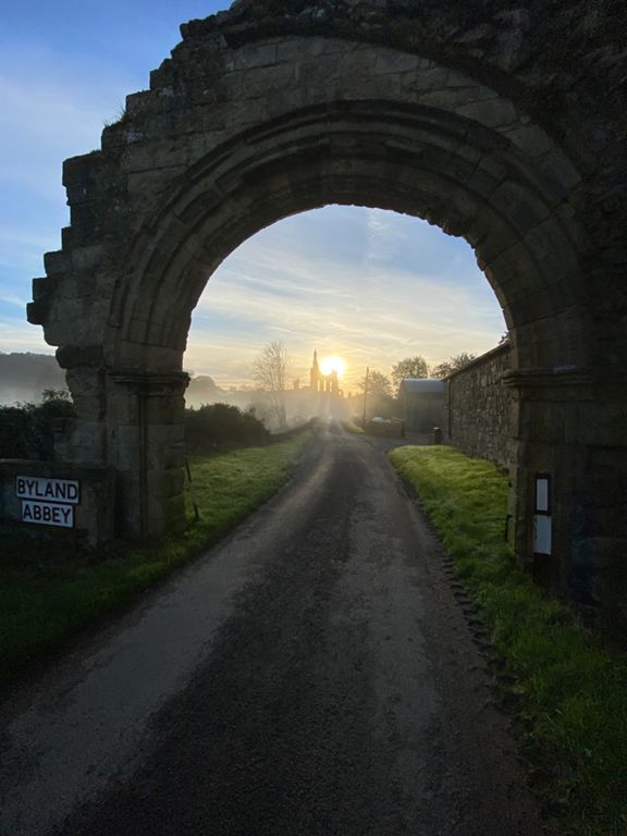
Byland Abbey
Cycling Route
Details
52.62 mi
2,356 ft
Route and Elevation
Segments
| Name | Distance | Elev. Diff. | Avg. Grade |
|---|---|---|---|
| Out of town | 0.38 mi | -36 ft | -1.2% |
| Sharow Rise | 0.72 mi | 79 ft | 2.1% |
| The S express | 0.23 mi | -7 ft | -0.2% |
| Black Planting sprint reverse | 0.50 mi | 13 ft | 0.5% |
| Bagby Bends | 0.30 mi | 33 ft | 2.0% |
| A19 - Bagby - bench below White Horse Bank | 4.56 mi | 328 ft | 1.0% |
| Bagby lane | 1.06 mi | 128 ft | 2.1% |
| Bagby to Balk with Bex | 1.25 mi | -52 ft | -0.5% |
| Bagby Stretch | 1.75 mi | 249 ft | 2.5% |
| The lumpy one! | 5.00 mi | 210 ft | 0.0% |
| Osgoodby Bank | 0.19 mi | 102 ft | 9.9% |
| Kilburn down hill | 0.42 mi | -131 ft | -5.4% |
| Black Swan blast | 1.48 mi | 167 ft | 0.6% |
| Watch for tractors | 1.93 mi | -138 ft | -1.1% |
| Oldstead to Byland Abbey | 1.25 mi | -115 ft | -1.5% |
| Byland Abbey to Coxworld | 1.38 mi | -82 ft | -1.0% |
| Byland Old Bend's | 0.25 mi | -52 ft | -3.6% |
| The Husthwaite wiggle | 1.17 mi | 98 ft | 1.6% |
| Mount Husthwaite | 0.25 mi | 72 ft | 5.1% |
| hustwaite to easingwold | 3.51 mi | -217 ft | -1.1% |
| Peep-O-Day Smash | 1.93 mi | -174 ft | -1.7% |
| North Moor Sprint | 0.49 mi | -13 ft | -0.3% |
| N Moor Road to Easingwold | 1.16 mi | 33 ft | 0.4% |
| Cop Shop | 0.09 mi | 20 ft | 4.0% |
| Graveyard Shift | 0.27 mi | -26 ft | -0.3% |
| Chicken Run | 0.31 mi | -33 ft | -1.8% |
| Chip Shop and Stop | 0.12 mi | 16 ft | 2.5% |
| Foot Church Hill to Crankley Lane | 1.27 mi | -52 ft | -0.7% |
| easingwold-alne | 3.79 mi | -72 ft | -0.3% |
| Alne Road A19 Bridge | 0.23 mi | -3 ft | -0.2% |
| OLC Bridge 2 B - TT | 2.05 mi | -46 ft | -0.2% |
| Alne Railway Station Bridge | 0.12 mi | -7 ft | -1.0% |
| Up out of Alne | 0.23 mi | 30 ft | 1.6% |
| Alne to Aldwark | 2.55 mi | -20 ft | -0.1% |
| Alne to mainstreet | 3.46 mi | 33 ft | 0.1% |
| The Bridge | 0.08 mi | 13 ft | 1.8% |
| Boat lane westwards | 0.95 mi | 33 ft | 0.4% |
| Springfield Rise Climb | 0.32 mi | 30 ft | 1.6% |
| B6265 to A168 | 1.84 mi | 79 ft | 0.8% |
| Gallabar Lane | 0.55 mi | 52 ft | 1.5% |
| Ark at the Dale | 0.70 mi | -56 ft | -1.5% |
| in to Arkendale | 0.07 mi | 20 ft | 5.3% |
| Arkendale to A6055 | 0.78 mi | 30 ft | 0.2% |
| total bedlams | 1.03 mi | -108 ft | -1.9% |
| Wath lane | 0.91 mi | 75 ft | 1.6% |
| Traffic Light Deduction | 0.18 mi | -16 ft | -0.7% |
| Oucher Ln | 0.78 mi | 66 ft | 1.1% |
| Oucher Ln Climb | 0.34 mi | 59 ft | 3.2% |
| north to monkton | 1.98 mi | -108 ft | -0.4% |
| Wesgate sprint | 0.07 mi | 20 ft | 5.0% |