Activities
Top Sports
Running
Cycling
Walking
Hiking
Running
Cycling
Features
Maps
Challenges
Subscription
Log In
Join for Free
Sign Up
Home
Activities
Running
Cycling
Walking
Hiking
Features
Maps
Challenges
Subscription
Support
Sign Up
Log In
Get the App
+ 52
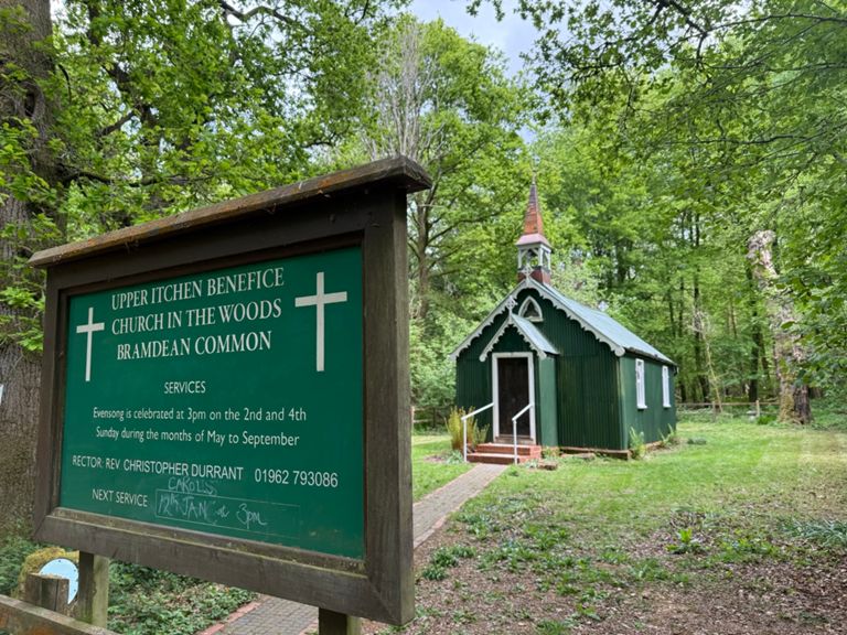
LR R2 - Long Barn Cafe - 49 Miles
Cycling Route
Save
Share
Details
48.68 mi
3,214 ft
http://www.longbarn.co.uk/home.php
Created By
Hatch Warren Beggarwood CC
September 2, 2016
·
Public
Route and Elevation
Segments
Name
Distance
Elev. Diff.
Avg. Grade
Long Cross to the M3
0.45 mi
138 ft
5.8%
Hatch Warren to Farleigh Wallop hill
1.12 mi
240 ft
4.0%
HatchHill
0.25 mi
92 ft
6.6%
2-4-6-8 Motorway
0.19 mi
52 ft
5.1%
Beggarwood Breakout
0.69 mi
98 ft
2.7%
B3046 Out of Farleigh
0.29 mi
-20 ft
-0.7%
Like a Nutter past Nutley
2.56 mi
-312 ft
-2.2%
Farleigh to Axford X roads
2.38 mi
-302 ft
-2.4%
Axford Hill towards Preston Candover
0.28 mi
36 ft
2.1%
Axford Red Lane
0.64 mi
-23 ft
-0.7%
Axford to Preston Candover B3046
1.31 mi
-26 ft
-0.3%
Bradley Junction to Spiers Ln
1.77 mi
-46 ft
-0.4%
St Mary to St Peters
2.01 mi
-36 ft
-0.3%
GunnersLn-Woodmancott
2.19 mi
190 ft
1.3%
Woodmancott
0.80 mi
135 ft
3.2%
Stratton Rouleur
3.26 mi
89 ft
0.1%
Stratton Park
0.23 mi
52 ft
4.1%
East Stratton to Northington Crossroads
1.37 mi
125 ft
1.5%
The Stratton
1.78 mi
151 ft
1.5%
Short-Sharp Northington Rd
0.17 mi
62 ft
6.9%
Let your hair down!
0.88 mi
-177 ft
-3.8%
Folly Hill
0.36 mi
98 ft
5.1%
Awful Ovington!
0.49 mi
92 ft
3.4%
East Lane pump
0.19 mi
59 ft
5.6%
Ford to B3046
1.95 mi
62 ft
0.1%
Kilmeston rise
0.43 mi
72 ft
3.1%
Kilmeston up to ridge / top of Wheely Down *S*
1.35 mi
207 ft
2.9%
Bottoms Up!
2.61 mi
-174 ft
-0.5%
Brockwood Bottom climb up to the junction *S*
0.57 mi
105 ft
3.4%
dowhill thrill
1.11 mi
-154 ft
-1.9%
A31 to Ship Inn
0.92 mi
-23 ft
-0.3%
Lavender Run
1.79 mi
-30 ft
-0.2%
Bishops Sutton Sprint
0.53 mi
-16 ft
-0.6%
Bighton Lane to Kiln Lane
0.54 mi
39 ft
0.0%
Get me to the church
0.22 mi
39 ft
3.3%
Ox Drove past Lanham Copse
2.22 mi
276 ft
2.3%
OD hill
0.12 mi
30 ft
4.5%
Ox Drove Way
0.81 mi
154 ft
3.5%
top of Armsworth to Wield
0.68 mi
-36 ft
-1.0%
New Lane
0.48 mi
43 ft
0.9%
Nice Tarmac
1.22 mi
-125 ft
-1.6%
Bradley Park
0.43 mi
138 ft
6.1%
Col du Preston Oak - JPABRR
0.59 mi
92 ft
2.9%
Ellisfield
1.55 mi
207 ft
2.4%
Green lane to Northgate Descent
1.37 mi
194 ft
2.5%
HighWood to Farleigh
3.06 mi
249 ft
1.5%
Balls of steel
0.09 mi
-56 ft
-11.7%
Whizz-G
0.27 mi
-62 ft
-0.8%
Grammarsham Lane Hill West
0.42 mi
92 ft
4.2%
M3 bridge to Farleigh Rd
0.70 mi
-98 ft
-2.6%