

+ 86
Maidenhead to Black Park Slough via Jubilee River
骑行路线
详情
22.75公里
69米
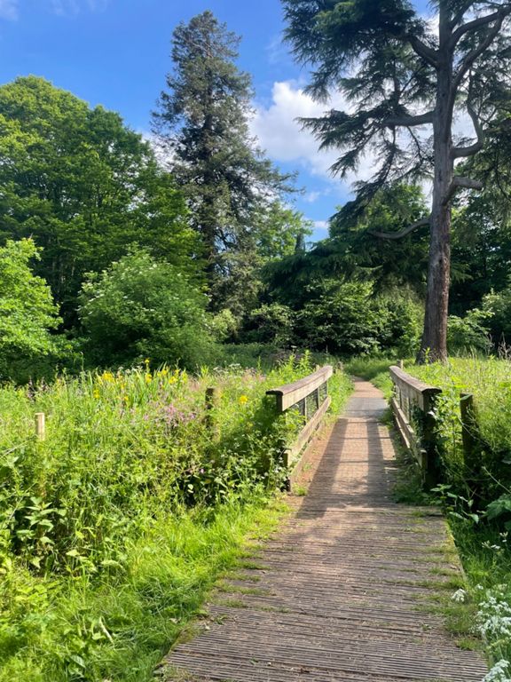
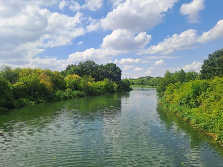
National cycle network 4, then Jubilee River then National cycle network 61, as off-road as possible
创建者
Paul Baker

路线和海拔
路段
| 名字 | 距离 | 海拔高度差 | 平均坡度 |
|---|---|---|---|
| Wooton Way Sprint | 0.54公里 | -8米 | -1.3% |
| to the station | 0.36公里 | 3米 | 0.1% |
| The Greenway to Holyport | 0.92公里 | 0米 | 0.0% |
| M4 Kicker South-East | 0.31公里 | 7米 | 2.0% |
| Monkey Island to Oak Stubbs M4 blast | 0.89公里 | 5米 | 0.2% |
| Dorney to Bridge Sprint | 3.41公里 | -8米 | -0.1% |
| Lake End rd Carpark to Sewage Wks Bridge | 1.95公里 | 0米 | 0.0% |
| Chalvey Ditch Dash | 0.64公里 | -1米 | -0.1% |
| Upton Court Park Bridge to Slough Cricket Club | 0.97公里 | 2米 | 0.1% |
| Trenches Lane to Hollybush Lane | 1.24公里 | 7米 | 0.4% |
| Trenches to the A412 | 2.82公里 | 32米 | 1.1% |
| Billet dash | 1.14公里 | 11米 | 0.9% |
| Up Billet Lane | 1.93公里 | 33米 | 1.7% |