| Combie to Plumtree | 6.17英里 | 597英尺 | 1.8% |
| PHR - Meadow Vista to Colfax | 6.85英里 | 551英尺 | 1.5% |
| Placer Hills Leaving MV | 1.20英里 | 59英尺 | 0.9% |
| Placer Hills,Crother To Weimar X | 2.17英里 | 243英尺 | 1.8% |
| Big Ring Bump #1 | 0.22英里 | 52英尺 | 3.7% |
| Big Ring Bump #2 | 0.24英里 | 85英尺 | 6.2% |
| Big Ring Bump #3 | 0.20英里 | 46英尺 | 3.7% |
| Eden Valley KOM | 1.53英里 | 325英尺 | 4.0% |
| Placer Hills Rd. KOM | 1.48英里 | 331英尺 | 4.2% |
| Sprint for the Sign | 0.71英里 | -105英尺 | -0.3% |
| Placer Hills - Cana Ln to S. Auburn St. | 0.36英里 | 102英尺 | 4.4% |
| S Auburn St Descent | 0.64英里 | -141英尺 | -4.2% |
| YJ Part way down | 3.03英里 | -669英尺 | -4.2% |
| Yankee Jim's Dirt Descent | 3.51英里 | -833英尺 | -4.5% |
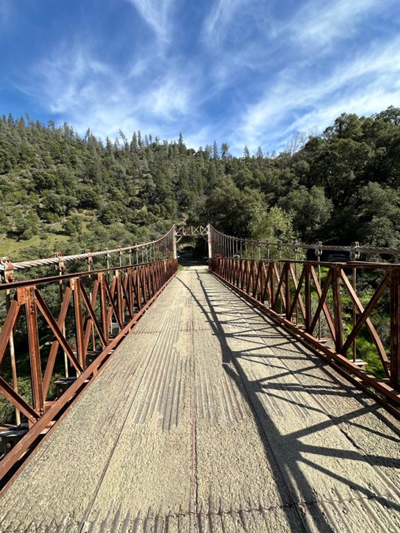
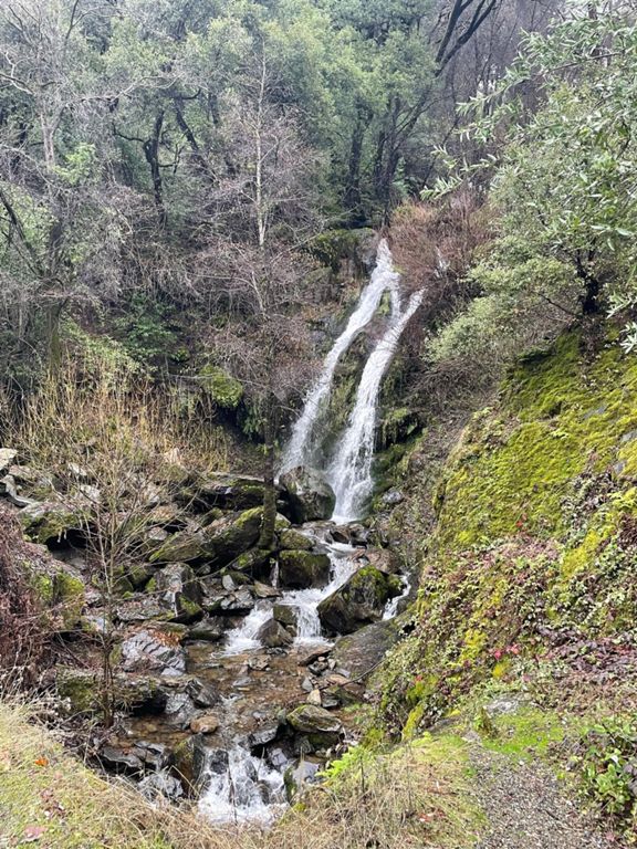
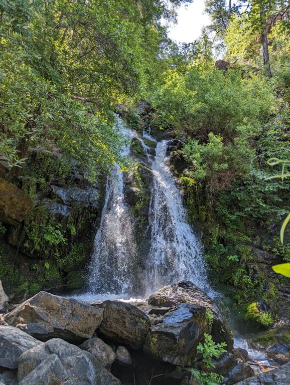
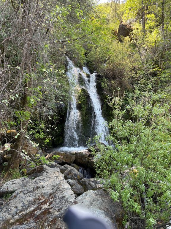
| Bridge to Water Fall | 0.62英里 | 220英尺 | 6.7% |
| Yankee Jims Rd Climb | 1.35英里 | 512英尺 | 7.2% |
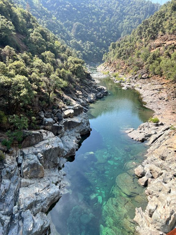
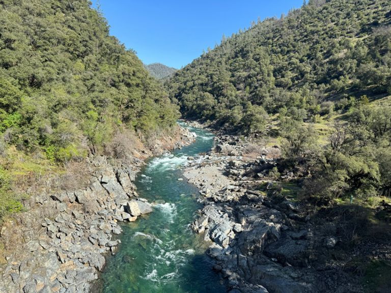
| Shirttail to the pavement | 6.03英里 | 1,496英尺 | 4.3% |
| Shirt Tail Canyon Rd Climb | 1.51英里 | 420英尺 | 5.2% |
| Bridge to Big Dipper on Shirttail | 5.06英里 | 1,450英尺 | 5.4% |
| Shirt Tail Canyon Rd Climb | 1.06英里 | 358英尺 | 6.3% |
| Kings Hill Rd Climb | 1.97英里 | 853英尺 | 8.2% |
| Shirttail DH to Yankee Jims | 5.72英里 | -1,480英尺 | -4.5% |
| Shirttail DH | 2.87英里 | -1,138英尺 | -7.5% |
| Yankee Jims Rd Climb | 1.21英里 | 472英尺 | 7.3% |
| YJ Bridge to Post Office | 6.74英里 | 1,214英尺 | 3.4% |
| Yankee Jim's Dirt section, Colfax side | 3.46英里 | 778英尺 | 4.2% |
| YJ Bridge to Canyon way fork | 4.49英里 | 1,135英尺 | 4.8% |
| Yankee Jims canyon climb | 4.25英里 | 942英尺 | 4.2% |
| Live Oak to Weimar Freeway Entrance | 0.91英里 | 174英尺 | 3.5% |
| Two 16% rollers from Colfax | 1.20英里 | -180英尺 | -1.7% |
| Paoli + | 0.25英里 | 75英尺 | 5.6% |
| Paoli climb | 0.15英里 | 56英尺 | 6.8% |
| Geisendorfer Rd to Weimar (downhill) | 1.04英里 | -233英尺 | -3.9% |
| Geissendorfer SB climb | 0.21英里 | 72英尺 | 3.8% |
| Meadow Gate Rd - Lake Arthur Rd to top | 0.35英里 | 75英尺 | 3.8% |