
+ 53
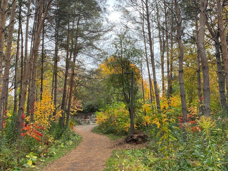
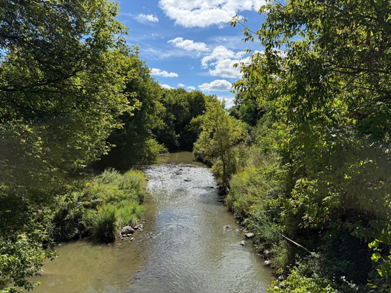
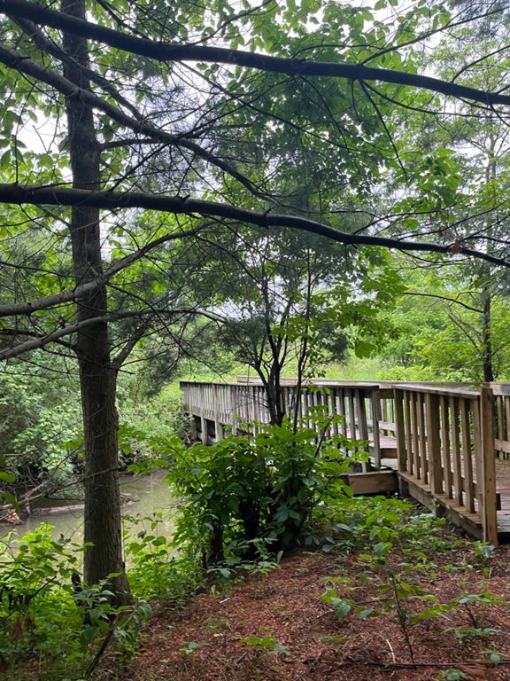
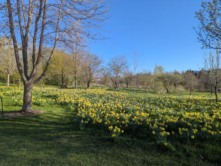
Map 91 Nokiidaa Trail 32 km
自行車路線
詳細資訊
16.16 公里
167 公尺
路線和海拔
路段
| 名稱 | 距離 | 海拔差異 | 平均坡度 |
|---|---|---|---|
| Dog Park to Queen | 1.73 公里 | 11 公尺 | 0.4% |
| Fairy Lake to under the bridge! | 1.68 公里 | 7 公尺 | 0.2% |
| Lake to Bridge | 0.68 公里 | 3 公尺 | 0.1% |
| Mulock to McKenzie Marsh Mash | 3.08 公里 | 16 公尺 | 0.1% |
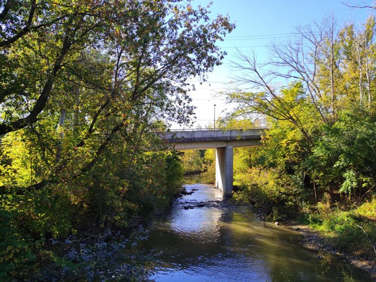
| Bailey Park River | 1.15 公里 | -8 公尺 | -0.1% |
| Give it to the top | 0.36 公里 | 7 公尺 | 1.3% |
| Sprint for the Hill - Tom Taylor Trail South | 0.31 公里 | 5 公尺 | 1.1% |
| Deerglen S climb | 1.27 公里 | 16 公尺 | 1.2% |
| Out to Vandorf | 0.59 公里 | 8 公尺 | 1.1% |