活動
最常做的運動
跑步
騎車
步行
健行
跑步
騎車
功能
地圖
挑戰
訂閱版
登入
免費加入
註冊
首頁
活動
跑步
騎車
步行
健行
功能
地圖
挑戰
訂閱版
支援
註冊
登入
取得應用程式
+ 65
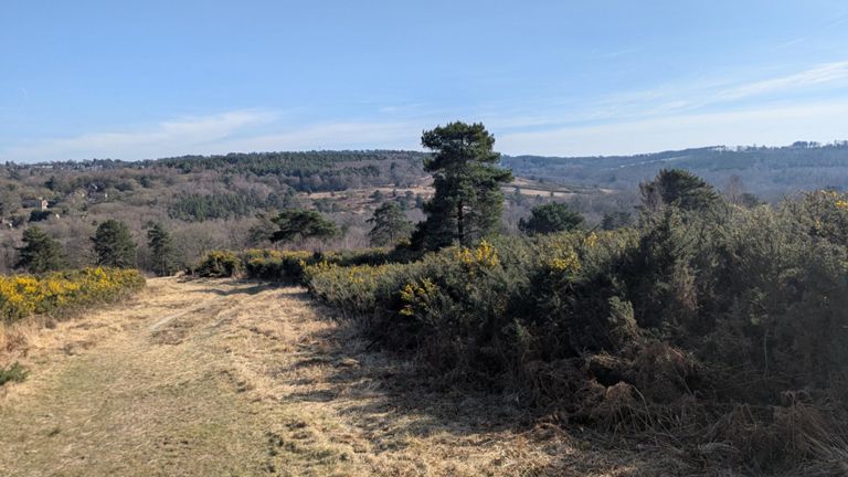
Killing it in Kent
自行車路線
儲存
分享
詳細資訊
115.12 公里
2,038 公尺
Kentish Killer route
建立者:
Nick Hobbs | Blackmore Cycling Apparel
2018年3月23日
·
公開
路線和海拔
路段
名稱
距離
海拔差異
平均坡度
Exedon down steep part
1.14 公里
-99 公尺
-8.7%
M26 Sprint
0.10 公里
-5 公尺
-5.0%
Bates Hill to Ismays Rd
0.94 公里
53 公尺
5.6%
DipDab
0.32 公里
12 公尺
3.5%
Carters Hill
0.88 公里
95 公尺
10.7%
Carter's Hill: First Ramp
0.27 公里
27 公尺
9.9%
Carter's Hill - top steep part
0.42 公里
53 公尺
12.5%
Hubbards Hill - Crossroad to top
1.42 公里
111 公尺
7.5%
Down a Bayley's
1.55 公里
-81 公尺
-5.2%
Station Hill
0.60 公里
37 公尺
6.1%
Unhinged Hill Top Finish
5.11 公里
101 公尺
1.8%
Fordcombe Climb
2.30 公里
97 公尺
4.2%
GROOMBRIDGE HILL DESCENT
1.46 公里
-82 公尺
-5.6%
UnhingedCycling Sprint Test
0.34 公里
4 公尺
1.3%
Ashdown Forest
7.62 公里
178 公尺
2.3%
Cherry Gardens Climb
1.58 公里
69 公尺
4.3%
Climb To The Ashdown Forest Sign
0.60 公里
27 公尺
4.5%
Black Hill Bottom to Top
3.56 公里
160 公尺
4.5%
TOS St 3 finish
1.09 公里
68 公尺
6.2%
Get the worst of it out the way
0.63 公里
41 公尺
6.5%
5 minutes in to the climb
1.98 公里
97 公尺
4.9%
Attack to stay away
2.34 公里
89 公尺
3.8%
Scioglimento gelato
1.00 公里
-10 公尺
-1.0%
Kidds hill to Hartfield (full)
3.97 公里
-147 公尺
-2.7%
One Mile Drop
1.63 公里
-86 公尺
-5.3%
Markbeech drop
2.13 公里
-83 公尺
-3.9%
Hever Sprint
0.28 公里
10 公尺
3.5%
Hever to How Green
0.96 公里
25 公尺
2.4%
Hever to Bough Beech
1.98 公里
28 公尺
0.4%
How ?
0.26 公里
12 公尺
4.7%
Lever outa Hever
0.08 公里
2 公尺
2.6%
Bough Beech to Ide Hill Village Hall
5.10 公里
76 公尺
0.1%
Ide Hill Road
1.61 公里
96 公尺
6.4%
Up, over and down Ide Hill (to Sundridge)
5.34 公里
-116 公尺
-0.1%
Memorial Sprint
0.28 公里
9 公尺
3.1%
Ide Hill Village to A25
3.68 公里
-116 公尺
-3.1%
Ovenden Rd + Sundridge Hill
3.56 公里
136 公尺
3.6%
Sundridge Hill
1.55 公里
106 公尺
6.8%
Sunrdige steeper section
0.54 公里
72 公尺
13.1%
End to End Shoreham Lane
0.89 公里
-15 公尺
-0.4%
HAW-HE
0.36 公里
-8 公尺
-0.2%
Twitton Turbo - race to the Otford village sign
1.06 公里
-29 公尺
-2.6%
Twitton to Otford
1.69 公里
-41 公尺
-2.4%
RowDow from the River
2.66 公里
153 公尺
5.7%
Station Road Otford
0.52 公里
19 公尺
3.7%
PW2ROWDOW
0.55 公里
21 公尺
3.8%
Row Dow (not including Pilgrims Way!)
0.80 公里
90 公尺
11.2%
Row Dow (steep top section)
0.30 公里
40 公尺
13.0%
Goodbury Rd to Knatts Ln via Tinkerpot Ln
2.55 公里
64 公尺
0.2%
Tinker pot hill
0.38 公里
45 公尺
12.0%