
+ 9
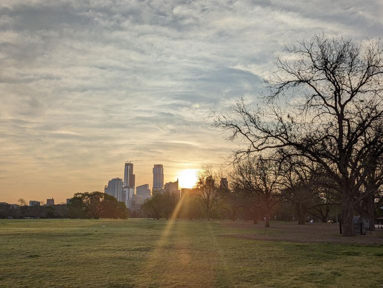
Austin ride from Zilker Park
自行車路線
適中
13.82 英里
1,598 呎
路線和海拔
路段
| 名稱 | 距離 | 海拔差異 | 平均坡度 |
|---|---|---|---|
| Rollingwood 3 hills | 0.61 英里 | 135 呎 | 4.1% |
| All through Rollingwood | 3.11 英里 | 312 呎 | 1.9% |
| Rollingwood to Paige (Stop Sign climb) | 0.20 英里 | 66 呎 | 6.1% |
| Bee Caves to Top of Hill Sprint | 0.25 英里 | 49 呎 | 3.6% |
| Pinnacle to Westbank slog | 0.63 英里 | 105 呎 | 3.1% |
| Westbank Climb to 360 | 0.48 英里 | 108 呎 | 4.2% |
| Westlake HS to 360 | 0.49 英里 | 89 呎 | 3.5% |
| S Capital Of Texas Hwy Climb | 0.19 英里 | 30 呎 | 2.8% |
| 360 to Quaker | 0.56 英里 | 85 呎 | 2.4% |
| Lost Creek Descent | 1.06 英里 | -292 呎 | -5.2% |
| lost creek hill 1 | 0.62 英里 | 190 呎 | 5.8% |
| Lost Creek to Barton Creek | 2.54 英里 | 276 呎 | 2.0% |
| Lost Creek W Bound #2 short steep | 0.37 英里 | 187 呎 | 9.4% |
| Lost Creek Steep hill #3 Westbound | 0.39 英里 | 121 呎 | 5.8% |
| Southwest Pkwy - Travis Cook to U-turn | 1.91 英里 | -138 呎 | -0.3% |
| SWP - Barton Creek to 71 | 2.37 英里 | 131 呎 | 0.2% |
| VOP SW Pkwy Sprint | 0.59 英里 | -92 呎 | -0.6% |
| Reflector Hill | 0.50 英里 | 62 呎 | 2.1% |