


+ 18
Lake Crystal Loop
Cycling Route
Details
34.13 mi
863 ft
Cycling Route Update: Rapidan Dam and County Road 90 Bridge Impacts
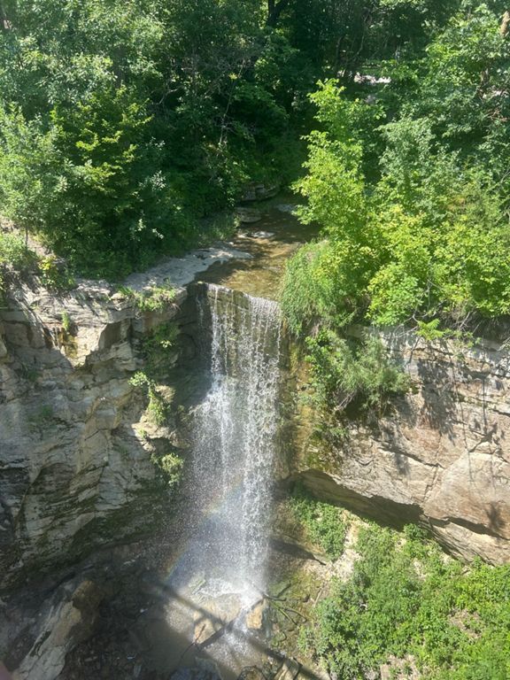
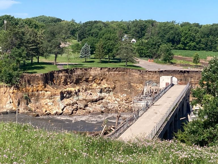
Please note: Due to the severe flooding that occurred in June 2024, the Rapidan Dam, park, and diner have been significantly impacted. As a result, the scenic cycling loop may be partially disrupted.
Additionally, the County Road 90 bridge over the Blue Earth River at Rapidan is currently closed indefinitely. This closure interrupts the biking loop, requiring riders to find an alternative route or shorten their trip.
While the exact extent of the damage to the Rapidan Dam and its surrounding area is still being assessed, it's important to be aware that the route may be altered or temporarily closed. We recommend checking for updates and closures before embarking on your ride.
For the most current information, please contact: Blue Earth County Public Works at (507) 304-4025.
Created By
Visit Mankato

Route and Elevation
Segments
| Name | Distance | Elev. Diff. | Avg. Grade |
|---|---|---|---|
| From the Y to Rapidan | 5.86 mi | 194 ft | 0.6% |
| Red Jacket Southbound along the Blue Earth River | 2.13 mi | -59 ft | -0.4% |
| Rail Tie Trail | 0.40 mi | 13 ft | 0.4% |
| Gotta Gustav it | 0.31 mi | 33 ft | 1.8% |
| Forget me not climb | 0.54 mi | 46 ft | 1.6% |
| Red Jacket Trail | 2.29 mi | 207 ft | 1.3% |
| Judson Bottom Hussle | 4.33 mi | -85 ft | -0.1% |
| Center St to Riverfront Dr | 0.65 mi | 26 ft | 0.5% |