活动
最常进行的运动
跑步
骑行
步行
远足
跑步
骑行
功能
地图
挑战
订阅
登录
免费加入
注册
主页
活动
跑步
骑行
步行
远足
功能
地图
挑战
订阅
用户服务
注册
登录
获取应用程序
+ 121
B Ride Sunday July 7 th.
骑行路线
保存
分享
详情
95.06公里
326米
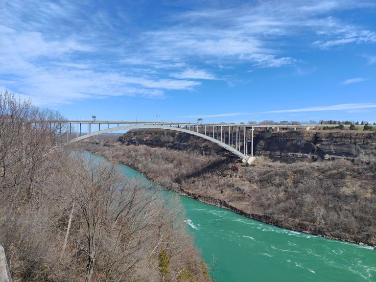
North East wind -N.O.T.L Stop for Coffee
创建者
Randy Heimbecker
2018年7月24日
·
公开
路线和海拔
路段
名字
距离
海拔高度差
平均坡度
Saint Paul Avenue Climb
0.57公里
87米
15.2%
Church's Lane To Parkway
0.90公里
-13米
-1.4%
Bee in a bonnet
2.20公里
-7米
-0.2%
Botanical Gardens
1.14公里
-15米
-0.9%
floral clock to bridge
0.52公里
-11米
-0.6%
Queenston Heights to Riverbrink downhill
2.24公里
-74米
-3.2%
Queenston Descent
1.16公里
-48米
-3.5%
7ed down
3.47公里
-9米
-0.2%
Carlton to East/West Line
3.05公里
-8米
-0.3%
beer straight ahead
2.48公里
6米
0.1%
Garrison to Tim's
1.34公里
4米
0.3%
East and West Line - WB Sprint
3.44公里
-5米
-0.1%
East-West Line TT
4.12公里
-16米
-0.1%
Church Road Reverse
1.52公里
-3米
-0.1%
Lock 2 bridge sprint
0.46公里
7米
0.7%
Carlton St to Frado's
2.59公里
14米
0.5%
Queenston to Glendale.
2.12公里
13米
0.6%
climb - welland canal locks
2.64公里
44米
1.6%
lower canal climb
1.29公里
15米
1.1%
Canal Climb-Thorold
1.89公里
53米
2.8%
Upper Canal Climb
1.31公里
26米
2.0%
Welland Canal Lock 7 to railway crossing
1.28公里
2米
0.2%
To Allanburg
3.96公里
6米
0.2%
Thorold to Allenburg
0.65公里
3米
0.4%
around the bend sb
3.29公里
5米
0.1%
McLeod to Lundy (End at Traintracks)
1.66公里
-2米
-0.1%
Garner Home Run
2.38公里
8米
0.0%
The Real Garner Home Run
2.15公里
-1米
0.0%
Garner Sprint
1.17公里
-5米
-0.1%
Round Aboot East
0.59公里
11米
1.9%
Sprint past Firemens
0.96公里
2米
0.2%