| Midway East Hammer | 1.52 英里 | -56 呎 | -0.4% |
| Jail Trail outbound to Bates | 2.02 英里 | 59 呎 | 0.1% |
| Duquesne | 1.68 英里 | 43 呎 | 0.1% |
| Hot Metal Bridge South Dash | 0.26 英里 | -43 呎 | -2.0% |
| Hot Metal to end of SS trail | 2.65 英里 | -20 呎 | -0.1% |
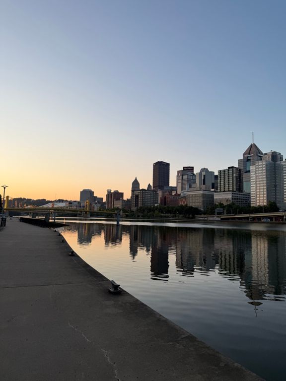
| Waterfront Cruise Inbound | 1.38 英里 | -95 呎 | -0.4% |
| kennywood way home longer | 4.83 英里 | -69 呎 | -0.1% |
| Up the bridge sprint | 0.58 英里 | -7 呎 | -0.2% |
| Kennywood outbound (bridge to bridge) | 1.79 英里 | -33 呎 | -0.2% |
| Sutersville to west newton | 3.76 英里 | 13 呎 | 0.0% |
| West Newton to Cedar Creek SB | 3.13 英里 | 20 呎 | 0.1% |
| Dawson to Cville on GAP | 5.22 英里 | 56 呎 | 0.1% |
| GAP - Ohiopyle to Confluence | 9.97 英里 | 82 呎 | 0.1% |
| Fort Hill to Casselman | 7.01 英里 | 308 呎 | 0.7% |
| GAP: Big Savage Tunnel to Frostburg | 6.34 英里 | -541 呎 | -1.6% |
| Canal Blast Home | 1.51 英里 | 56 呎 | 0.1% |
| C&O StickPile Hill to Little Orleans | 8.25 英里 | -23 呎 | -0.0% |
| C&O StickPile straightaway | 2.66 英里 | -13 呎 | -0.0% |
| Tbone Express | 3.98 英里 | 13 呎 | 0.0% |
| 4 locks | 0.64 英里 | -30 呎 | -0.9% |
| 2 mile cruise back | 2.00 英里 | -13 呎 | -0.0% |
| Old Route 16 From BV to Route 16 | 1.00 英里 | 157 呎 | 2.4% |
| Lets go anaerobic | 0.25 英里 | 115 呎 | 8.5% |
| Sprint into Brunswick | 3.05 英里 | -16 呎 | 0.0% |
| Last Blast to Brunswick | 0.93 英里 | 10 呎 | 0.0% |
| its the Strada Bianche of Brunswick | 0.74 英里 | -3 呎 | 0.0% |
| Chesapeake & Ohio Canal National Historic Park Climb | 0.35 英里 | 302 呎 | 15.9% |
| Point of Rocks to Nolands Ferry | 3.76 英里 | -118 呎 | -0.3% |
| The Last Mile | 0.83 英里 | -7 呎 | -0.1% |
| MoM to Wilson C&O | 34.58 英里 | -164 呎 | -0.1% |
| Edward's Ferry to Seneca Creek Park | 7.99 英里 | -13 呎 | -0.0% |
| C&O--Sycamore to Rileys | 4.36 英里 | -10 呎 | -0.0% |
| C&O Violets to Pennyfield's Lock | 2.53 英里 | -13 呎 | -0.0% |
| C&O (Pennyfield to Swain) | 2.99 英里 | -10 呎 | -0.0% |
| C&O: Pennyfield Lock to Brookmont Lock 5 | 14.60 英里 | -135 呎 | -0.2% |
| The Missing Link in reverse | 1.61 英里 | -26 呎 | -0.2% |
| C&O: Old Anglers to Lock 11 | 3.23 英里 | -26 呎 | -0.1% |
| C&O, Carderock to Whitehurst | 10.59 英里 | -75 呎 | -0.1% |
| Carderock to Sycamore Island | 4.44 英里 | -69 呎 | -0.3% |
| Carderock Upper Lot to Beltway Lock | 1.51 英里 | -16 呎 | -0.2% |
| Gravel smash Carderock to Chain Bridge | 6.19 英里 | -69 呎 | -0.2% |
| C&O: Seven Locks East | 1.30 英里 | -56 呎 | -0.8% |
| Union Arch to Brookmont | 2.61 英里 | -16 呎 | -0.1% |
| Feeder Canal Sprint from Snake Island | 0.36 英里 | 10 呎 | 0.2% |
| C&O south - Chain Br to Fletchers | 0.89 英里 | -7 呎 | -0.2% |
| CCT Dirty Grinder Revised | 2.56 英里 | -43 呎 | -0.2% |
| Whitehurst - Key to Split | 0.56 英里 | -46 呎 | -1.6% |
| Jefferson Dr. SW - 14th to 7th | 0.50 英里 | -13 呎 | -0.5% |
| Jefferson Dr. SW (14th St. to 3rd St.) | 0.83 英里 | -33 呎 | -0.6% |
| Air & Space Sprint | 0.24 英里 | -7 呎 | -0.5% |