Activités
Sports les plus pratiqués
Course à pied
Cyclisme
Marche
Randonnée
Course à pied
Cyclisme
Fonctionnalités
Cartes
Challenges
Abonnement
Se connecter
S'inscrire gratuitement
S'inscrire
Accueil
Activités
Course à pied
Cyclisme
Marche
Randonnée
Fonctionnalités
Cartes
Challenges
Abonnement
Assistance
S'inscrire
Se connecter
Télécharger l'application
+ 58
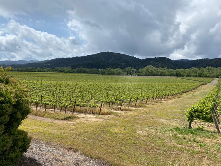
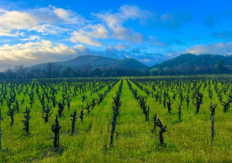
2018 REV Tour of Wine Country - extended route
Itinéraire de sortie à vélo
Enregistrer
Partager
Détails
25,9 mi
1 288 pi
adds 300ft elevation to basic Tour of Wine Country route
Créée par
Kristi Grøtting Hruzewicz
4 septembre 2018
·
Public
Itinéraire et dénivelé
Segments
Nom
Distance
Dénivelé
Pente moy.
The Jefe Mile
1,51 mi
-43 pi
-0,4 %
Lytton Springs Rd-Dry Creek Rd
2,53 mi
-171 pi
-0,4 %
Lytton Springs RR X-Chiquita Rd
0,68 mi
98 pi
2,7 %
Fredson to Chiquita on Lynton Springs
0,58 mi
82 pi
2,6 %
Lytton Springs Sprint
1,83 mi
-154 pi
-1,6 %
West Dry Creek - Lambert Bridge to Yoakim Bridge
4,44 mi
59 pi
0,2 %
Lambert Br to Yoakim Br
3,87 mi
46 pi
0,2 %
West Dry Creek Road Climb
0,46 mi
-30 pi
-0,2 %
Yoakim Bridge Road
0,64 mi
-20 pi
-0,1 %
Dutcher Crossing Sprint
0,73 mi
-36 pi
-0,7 %
Dutcher, Dry Creek to Simmons
2,72 mi
315 pi
1,5 %
Dutcher Creek North Climb
2,40 mi
325 pi
2,4 %
Dutcher Creek UH & DH-South2North
4,03 mi
322 pi
0,6 %
Dutcher Creek Rd. South to North
3,99 mi
312 pi
0,7 %
Dutcher Creek Dig
2,11 mi
341 pi
2,9 %
uphill sprint @a lake
1,83 mi
282 pi
2,7 %
Pic creek road
0,62 mi
184 pi
5,4 %
NB Dutcher just the hill
0,52 mi
135 pi
4,8 %
Dutcher Creek Bomber
1,61 mi
-177 pi
-1,9 %
Theresa to Washington
1,50 mi
105 pi
0,8 %
Asti Rd Sprint Climbs
2,01 mi
108 pi
0,5 %
Asti to Washington
0,39 mi
69 pi
3,3 %
Asti Rd to Canyon
3,64 mi
-95 pi
-0,3 %
zanzi time trial
1,32 mi
-89 pi
-1,2 %
Wiedersheim Sprint
0,41 mi
59 pi
1,2 %
zanzi to canyon time trial
2,67 mi
-39 pi
-0,3 %
Geyserville Sprint
0,15 mi
-7 pi
-0,1 %
Geyserville Avenue Climb
0,37 mi
20 pi
0,3 %
Geyserville Mile
1,24 mi
30 pi
0,2 %